- Narikot
-
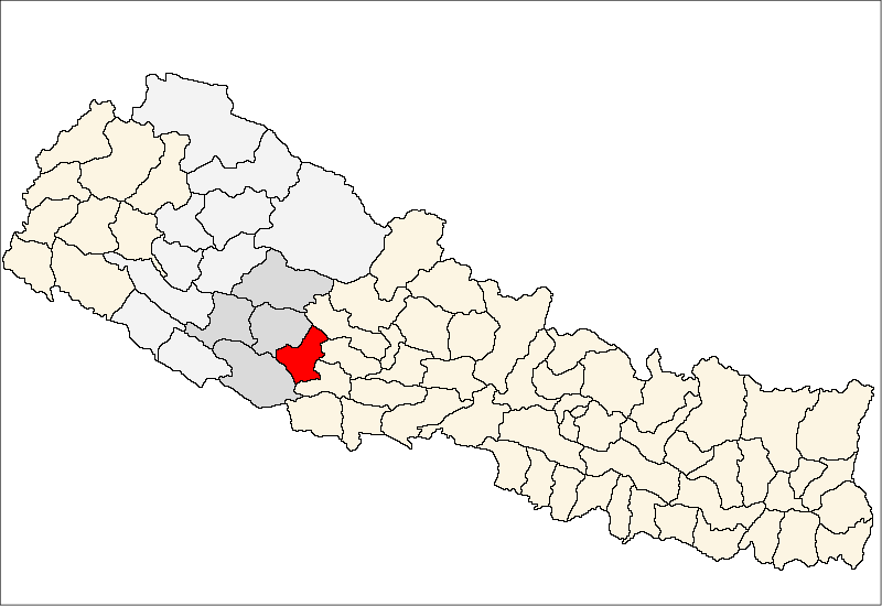
Narikot
नारीकोट— Village Development Committee — Location in Nepal
 Narikot
Coordinates: 28°11′N 83°00′E / 28.19°N 83.00°ECoordinates: 28°11′N 83°00′E / 28.19°N 83.00°E Country  Nepal
NepalRegion Mid-Western Zone Rapti Zone District Pyuthan District VDC Narikot Wards Population (2001 Census[1]) – Total 2,566 502 households Time zone Nepal Time (UTC+5:45) Narikot is a town and Village Development Committee in Pyuthan, a Middle Hills district of Rapti Zone, western Nepal.
Villages in this VDC[2]
Ward Lat. Lon Elev. Asurbari असुरबारी 28°11'N 83°01'E 1,710m Bhatepani भाटेपानी 28°10'N 83°01'E 1,670 Bisauna बिसौना 28°10'N 83°01'E 1,730 Dandagaun डाँडागाउँ 28°11'N 83°00'E 1,355 Dharampani धरमपानी 28°11'N 82°59'E 1,350 Kaphalpata काफलपाटा 28°11'N 83°00'E 1,565 Khirepata खिरेपाटा 28°11'N 83°00'E 1,510 Lammela लाम्मेला 28°11'N 83°01'E 1,415 Madkena मड्केना 28°11'N 83°01'E 1,530 Narikot नारीकोट 28°11'N 83°00'E 1,565 Patihalna पातीहाल्ना 28°12'N 82°59'E 1,225 Ramkholagaun रामखोलागाउँ 28°11'N 82°59'E 1,230 Ratamata रातामाटा 1 28°11'N 82°59'E 1,110 Thula Bisauna ठूला बिसौना 2 28°12'N 82°59'E 1,330 References
- ^ "Nepal Census 2001". Nepal's Village Development Committees. Digital Himalaya. http://www.digitalhimalaya.com/collections/nepalcensus/form.php?selection=1. Retrieved 21 September 2008.
- ^ "Index of Geographical Names of Nepal, Volume IV: Mid Western Development Region, List of Settlements, Pyuthan". Government of Nepal, National Geographic Information Infrastructure Program. http://www.ngiip.gov.np/pdf/vol4pyuthan.pdf. Retrieved 2011-03-12.
Narikot:
External links
Arkha, Badikot, Bangesal, Baraula, Barjiwang, Belwaspur, Bhingri, Bijaya Nagar, Bijubar, Bijuli, Chuja, Dakhakuwadi Salghari, Damri, Dangwang, Dharamawati, Dharampani, Dhobaghat, Dhuwang, Dungegadi, Gothiwang, Hansapur, Jumrikanda, Khaira, Khawang, Khung, Kochiwang, Ligha, Liwang, Lung, Majhakot, Maranthana, Markawang, Narikot, Naya Gaun, Okharkot, Pakala,
Phopli, Puja, Rajbara, Ramdi, Ruspur Kot, Sari, Swargadwarikhal, Syauliwang, Tarwang, Tiram, Tusara, Wangemarkot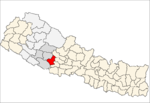 Categories:
- Populated places in Pyuthan District
- Rapti Zone geography stubs

Wikimedia Foundation. 2010.