- Dharmawati
-
Dharmawati
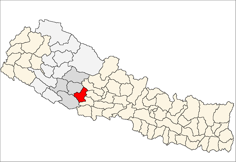
धर्मावती— Village Development Committee — Location in Nepal
 Dharmawati
Coordinates: 28°07′N 82°53′E / 28.12°N 82.88°ECoordinates: 28°07′N 82°53′E / 28.12°N 82.88°E Country  Nepal
NepalRegion Mid-Western Zone Rapti Zone District Pyuthan District VDC Dharmawati Wards Population (2001 Census[1]) – Total 4,186 861 households Time zone Nepal Time (UTC+5:45) Dharmawati is a town and Village Development Committee in Pyuthan, a Middle Hills district of Rapti Zone, western Nepal.
Contents
Etymology
dharma (Sanskrit: धर्मा) - Religious law or duty; a religion.
wati or vati (Sanskrit: वती) - manifesting the quality.
Thus pious, observant, or religious.Villages in VDC[2]
Ward Lat. Lon Elev. Bagdula बागदुला 1 28°07'N 82°53'E 828m Bange बाङ्गे 28°09'N 82°53'E 1,090 Batule बाटुले 28°09'N 82°54'E 1,010 Bhalapani भलापानी 28°09'N 82°53'E 1,215 Bhedabari भेडाबारी 5 28°09'N 82°53'E 1,210 Chyandhara च्यानधारा 28°10'N 82°53'E 1,230 Damti दम्ती 28°09'N 82°54'E 925 Dhaire धाइरे 28°09'N 82°54'E 958 Gejbang गेजबाङ 3 28°08'N 82°54'E 850 Githechaur गिठेचौर 28°08'N 82°53'E 1,315 Kapdanda कापडाँडा 28°07'N 82°53'E 1,110 Lamidhara लामीधारा 28°08'N 82°53'E 1,210 Managaun मानागाउँ 28°09'N 82°53'E 1,330 Padbang पाडबाङ 28°09'N 82°54'E 915 Rajyan रज्यान 6 28°08'N 82°54'E 1,146 Ranikamla रानीकाम्ला 28°08'N 82°53'E 1,075 Shivanagar शिवनगर 28°08'N 82°54'E 850 Suryanagar सूर्यनगर 28°08'N 82°53'E 835 Takura टाकुरा 28°08'N 82°53'E 950 Tal ताल 28°08'N 82°53'E 838 Thapkot थापकोट 28°08'N 82°53'E 1,243 Tikhchuli तिखचुली 28°10'N 82°53'E 1,476 Upallo Damti उपल्लो दम्ती 28°09'N 82°54'E 1,130 References
- ^ "Nepal Census 2001". Nepal's Village Development Committees. Digital Himalaya. http://www.digitalhimalaya.com/collections/nepalcensus/form.php?selection=1. Retrieved 21 September 2008.
- ^ "Index of Geographical Names of Nepal, Volume IV: Mid Western Development Region, List of Settlements, Pyuthan". Government of Nepal, National Geographic Information Infrastructure Program. http://www.ngiip.gov.np/pdf/vol4pyuthan.pdf. Retrieved 2011-03-12.
External links
Arkha, Badikot, Bangesal, Baraula, Barjiwang, Belwaspur, Bhingri, Bijaya Nagar, Bijubar, Bijuli, Chuja, Dakhakuwadi Salghari, Damri, Dangwang, Dharamawati, Dharampani, Dhobaghat, Dhuwang, Dungegadi, Gothiwang, Hansapur, Jumrikanda, Khaira, Khawang, Khung, Kochiwang, Ligha, Liwang, Lung, Majhakot, Maranthana, Markawang, Narikot, Naya Gaun, Okharkot, Pakala,
Phopli, Puja, Rajbara, Ramdi, Ruspur Kot, Sari, Swargadwarikhal, Syauliwang, Tarwang, Tiram, Tusara, Wangemarkot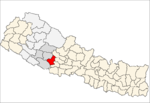 Categories:
- Populated places in Pyuthan District
- Rapti Zone geography stubs

Wikimedia Foundation. 2010.