- Majhakot, Rapti
-
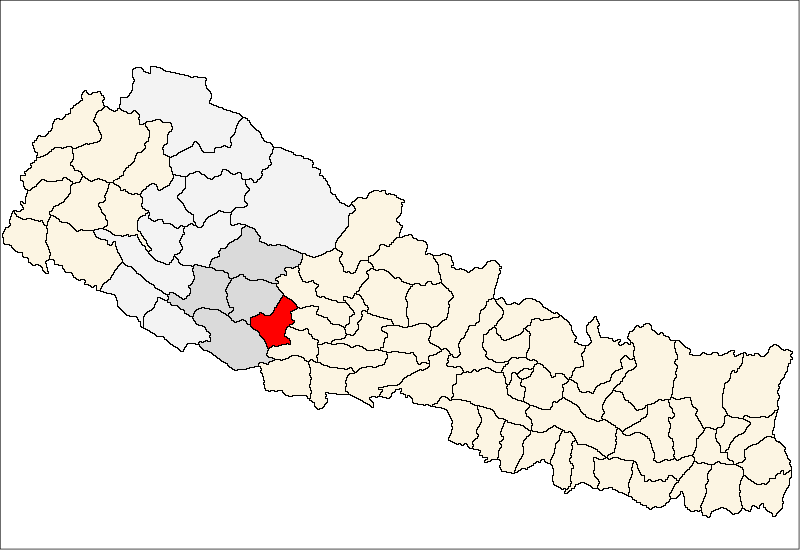
Majhakot
माझकोट— Village Development Committee — Location in Nepal
 Majhakot
Coordinates: 28°08′N 82°52′E / 28.13°N 82.87°ECoordinates: 28°08′N 82°52′E / 28.13°N 82.87°E Country  Nepal
NepalRegion Mid-Western Zone Rapti Zone District Pyuthan District VDC Majhakot Wards Population (2001 Census[1]) – Total 2,357 476 households Time zone Nepal Time (UTC+5:45) Majhakot is a village and Village Development Committee in Pyuthan, a Middle Hills district of Rapti Zone, western Nepal.
Contents
Etymology
majha (Nepali: माझ) - middle, center.
kot (Nepali: कोट)- guardroom, prison, police station.Villages in this VDC[2]
Ward Lat. Lon Elev. Ampdhara आँपधारा 28°09'N 82°50'E 1,195m Bahundanda बाहुनडाँडा 28°08'N 82°52'E 1,170 Dandagaun डाँडागाउँ 28°08'N 82°51'E 1,670 Deurali Bhitta देउराली भित्ता 28°09'N 82°50'E 1,365 Dhae धाए 28°10'N 82°52'E 1,630 Dhanchaur धनचौर 28°09'N 82°52'E 1,170 Dhungethanti ढुङ्गेठाँटी 28°09'N 82°50'E 1,025 Gurunggaun गुरुङगाउँ 1 28°08'N 82°52'E 1,494 Jumlidhara जुम्लीधारा 28°10'N 82°51'E 1,730 Karange करङ्गे 28°09'N 82°51'E 1,515 Kholigaun खोलीगाउँ 6 28°09'N 82°52'E 1,618 Kot कोट 28°08'N 82°51'E 1,665 Lamkshyang Neta लमक्ष्याङ नेटा 4 28°09'N 82°51'E 1,650 Majhakot माझकोट 28°08'N 82°52'E 1,545 Nepane नेपाने 28°09'N 82°50'E 1,577 Painyapani पैंयापानी 28°09'N 82°51'E 1,721 References
- ^ "Nepal Census 2001". Nepal's Village Development Committees. Digital Himalaya. http://www.digitalhimalaya.com/collections/nepalcensus/form.php?selection=1. Retrieved 21 September 2008.
- ^ "Index of Geographical Names of Nepal, Volume IV: Mid Western Development Region, List of Settlements, Pyuthan". Government of Nepal, National Geographic Information Infrastructure Program. http://www.ngiip.gov.np/pdf/vol4pyuthan.pdf. Retrieved 2011-03-12.
External links
Arkha, Badikot, Bangesal, Baraula, Barjiwang, Belwaspur, Bhingri, Bijaya Nagar, Bijubar, Bijuli, Chuja, Dakhakuwadi Salghari, Damri, Dangwang, Dharamawati, Dharampani, Dhobaghat, Dhuwang, Dungegadi, Gothiwang, Hansapur, Jumrikanda, Khaira, Khawang, Khung, Kochiwang, Ligha, Liwang, Lung, Majhakot, Maranthana, Markawang, Narikot, Naya Gaun, Okharkot, Pakala,
Phopli, Puja, Rajbara, Ramdi, Ruspur Kot, Sari, Swargadwarikhal, Syauliwang, Tarwang, Tiram, Tusara, Wangemarkot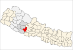 Categories:
- Populated places in Pyuthan District
- Rapti Zone geography stubs

Wikimedia Foundation. 2010.