- Mount McMaster
-
Mount McMaster 
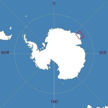
Map of Antarctica indicating location of Mount McMasterElevation 2,830 m (9,285 ft) Location Location Enderby Land, Australian Antarctic Territory, East Antarctica Range Enderby Land Coast Ranges Coordinates 66°37′S 51°12′E / 66.617°S 51.2°ECoordinates: 66°37′S 51°12′E / 66.617°S 51.2°E Geology Type Metamorphic Climbing Easiest route basic snow/ice climb Mount McMaster (66°37′S 51°12′E / 66.617°S 51.2°E) is an outcrop 2,830 m above sea level, located about 74 km northeast of Mount Pardoe and 97 km west of Mount Elkins in Enderby Land. Enderby Land is part of East Antarctica, and is claimed by Australia.
At 2,830 meters above sea level, Mount McMaster is the highest peak in the Enderby Land Coast Ranges. It is the second highest peak in the Wilkes Land Coast Ranges, which are the parent range of the Enderby Land Coast Ranges. It is the 15th highest peak in the East Antarctica Ranges, which are the parent range of the Wilkes Land Coast Ranges.
The outcrop was named after A. McMaster, a surveyor with the ANARE Enderby Land Survey Party in 1976 who established a survey station on the summit.
 This article incorporates public domain material from the United States Geological Survey document "Mount McMaster" (content from the Geographic Names Information System).
See also
- History of Antarctica
- List of Antarctic expeditions
- East Antarctica Ranges
- East Antarctic two-thousanders
- List of East Antarctic two-thousanders
References
"Mount McMaster". Geographic Names Information System, U.S. Geological Survey. http://geonames.usgs.gov/pls/gnispublic/f?p=gnispq:5:::NO::P5_ANTAR_ID:10632. Retrieved 31 May 2010.
External links
- Australian Antarctic Division
- Australian Antarctic Gazetteer
- Australian Antarctic Names and Medals Committee (AANMC)
- United States Geological Survey, Geographic Names Information System (GNIS)
- Scientific Committee on Antarctic Research (SCAR)
- PDF Map of the Australian Antarctic Territory
- ANARE Club
- List of Peaks in Enderby Land
Antarctica Main articles - Antarctic
- History
- Geography
- Climate
- Expeditions
- Research stations
- Field camps
- Territorial claims
- Antarctic Treaty System
- Telecommunications
- Demographics
- Economy
- Tourism
- Transport
- Military activity in the Antarctic
Geographic regions - Antarctic Peninsula
- East Antarctica
- West Antarctica
- Extreme points of the Antarctic
- List of Antarctic and subantarctic islands
- Antarctica ecozone
Waterways Famous explorers  Portal:Antarctica
This Enderby Land location article is a stub. You can help Wikipedia by expanding it.