- Kruibeke
-
Kruibeke 
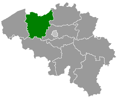
Coat of armsLocation in Belgium
 Kruibeke
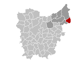
Coordinates: 51°10′N 04°18′E / 51.167°N 4.3°E Country Belgium Region Flemish Region Community Flemish Community Province East Flanders Arrondissement Sint-Niklaas Government – Mayor Antoine Denert – Governing party/ies D.E.N.E.R.T. Area – Total 33.42 km2 (12.9 sq mi) Population (1 January 2010)[1] – Total 15,820 – Density 473.4/km2 (1,226/sq mi) Demographics – Foreigners 1.84% (1 July 2005) Postal codes 9150 Area codes 03 Website www.kruibeke.be Map of Kruibeke
Kruibeke is a municipality located in the Belgian province of East Flanders. The municipality comprises the towns of Bazel, Kruibeke proper and Rupelmonde. On January 1, 2006 Kruibeke had a total population of 15,216. The total area is 33.42 km² which gives a population density of 455 inhabitants per km².
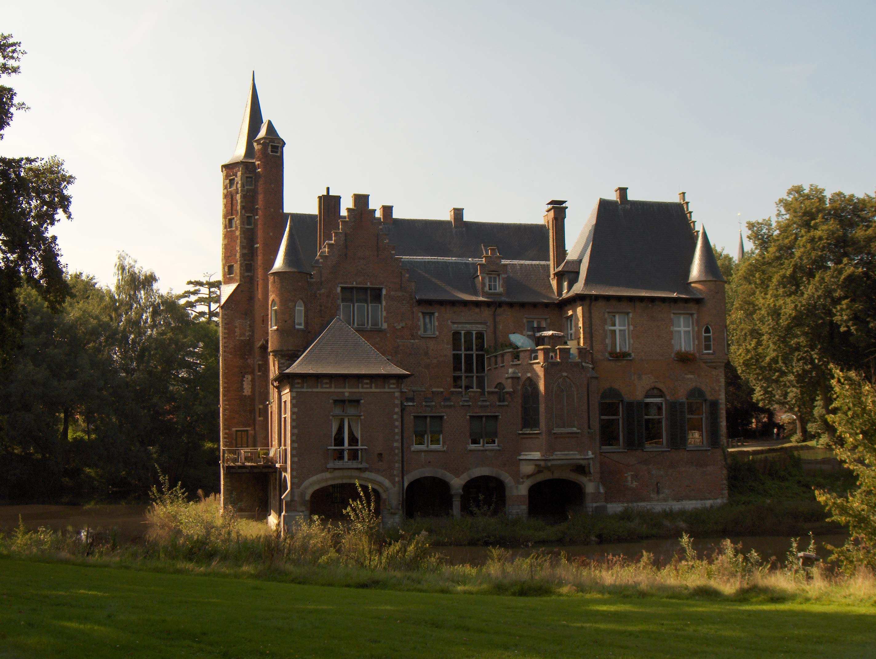
The oldest secular centre of the area is the feudal castle of Wissekerke at Bazel, which was inhabited by the ancient family Vilain until 1989.
The mayor is Antoine Denert. In March 2003 Denert set up the Department of Tenderness to encourage residents to be nicer to each other. Denert worries that "People don't cuddle any more and that's the reason why there are so many conflicts." and announces: "I will set an example and start in my own village by caressing, cuddling and kissing as many people as possible." To his alderman portfolio of duties, until then Work, Environment and Budget, was officially added Tenderness.
As of August 26, 2004, no other civic governments have adopted this idea.
Famous inhabitants
- Gerardus Mercator, cartographer
References
- ^ Population per municipality on 1 January 2010 (XLS; 221 KB)
External links
- News item: Belgian mayor sets up Department of Tenderness
- Official website (Dutch)
 Bazel town, Wissekerke Castle
Municipalities in the Province of East Flanders, Flanders, Belgium Aalst Aalst · Denderleeuw · Erpe-Mere · Geraardsbergen · Haaltert · Herzele · Lede · Ninove · Sint-Lievens-Houtem · Zottegem
Dendermonde Berlare · Buggenhout · Dendermonde · Hamme · Laarne · Lebbeke · Waasmunster · Wetteren · Wichelen · ZeleEeklo Ghent Aalter · Deinze · De Pinte · Destelbergen · Evergem · Gavere · Ghent · Knesselare · Lochristi · Lovendegem · Melle · Merelbeke · Moerbeke · Nazareth · Nevele · Oosterzele · Sint-Martens-Latem · Waarschoot · Wachtebeke · Zomergem · ZulteOudenaarde Brakel · Horebeke · Kluisbergen · Kruishoutem · Lierde · Maarkedal · Oudenaarde · Ronse · Wortegem-Petegem · Zingem · ZwalmSint-Niklaas Categories:- Municipalities of East Flanders

Wikimedia Foundation. 2010.