- Waarschoot
Infobox Belgium Municipality
name=Waarschoot
picture=
picture-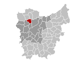
map-
arms=Waarschoot wapen.gif
region=BE-REG-FLE
community=BE-NL
province=BE-PROV-OV
arrondissement=Ghent
nis=44072
pyramid-date=
0-19=
20-64=
65=
foreigners=
foreigners-date=
mayor=Ghislain Lippens (CD&V)
majority=CD&V , WGB
postal-codes=9950
telephone-area=09
web= [http://www.waarschoot.be/ www.waarschoot.be]
lat_deg=51
lat_min=09
lon_deg=03
lon_min=36Waarschoot is a
municipality located in the Flemish province ofEast Flanders , inBelgium . The municipality only comprises the towns of Waarschoot proper. OnJanuary 1 , 2006 Waarschoot had a total population of 7,805. The total area is 21.91 km² which gives apopulation density of 356 inhabitants per km².External links
* [http://www.waarschoot.be Official website ] - Only available in Dutch
* [http://www.wgbwaarschoot.be Website of the Waarschootse Gemeentebelangen (WGB)] - Only available in Dutch


Wikimedia Foundation. 2010.