- Chestnut Ridge Natural Area Preserve
-
Chestnut Ridge Natural Area Preserve IUCN Category V (Protected Landscape/Seascape)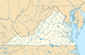

Location Giles County, Virginia Nearest city Appomattox, Virginia Coordinates 37°24′40″N 78°37′14″W / 37.4112°N 78.6206°WCoordinates: 37°24′40″N 78°37′14″W / 37.4112°N 78.6206°W[1] Area 233 acres (94 ha) Governing body Private Official website Chestnut Ridge Natural Area Preserve is a Natural Area Preserve located in Giles County, Virginia, though privately owned by a couple in Bluefield, West Virginia. A 233-acre (94 ha) tract of old-growth forest, it is dominated by northern red oak and chestnut oak. The extent of unbroken forest on the property is unusual for southwestern Virginia; many of the trees, including cucumber magnolia and American basswood, are between three and four hundred years old.[2]
The preserve is not open to the public.
References
- ^ Chestnut Ridge Natural Area State Natural Area protectedplanet.net
- ^ Preserve webpage
Categories:- IUCN Category V
- Virginia Natural Area Preserves
- Protected areas of Giles County, Virginia
- Virginia protected area stubs
- Southwest Virginia geography stubs

Wikimedia Foundation. 2010.