- Douthat State Park
-
Douthat State Park IUCN Category V (Protected Landscape/Seascape)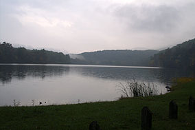
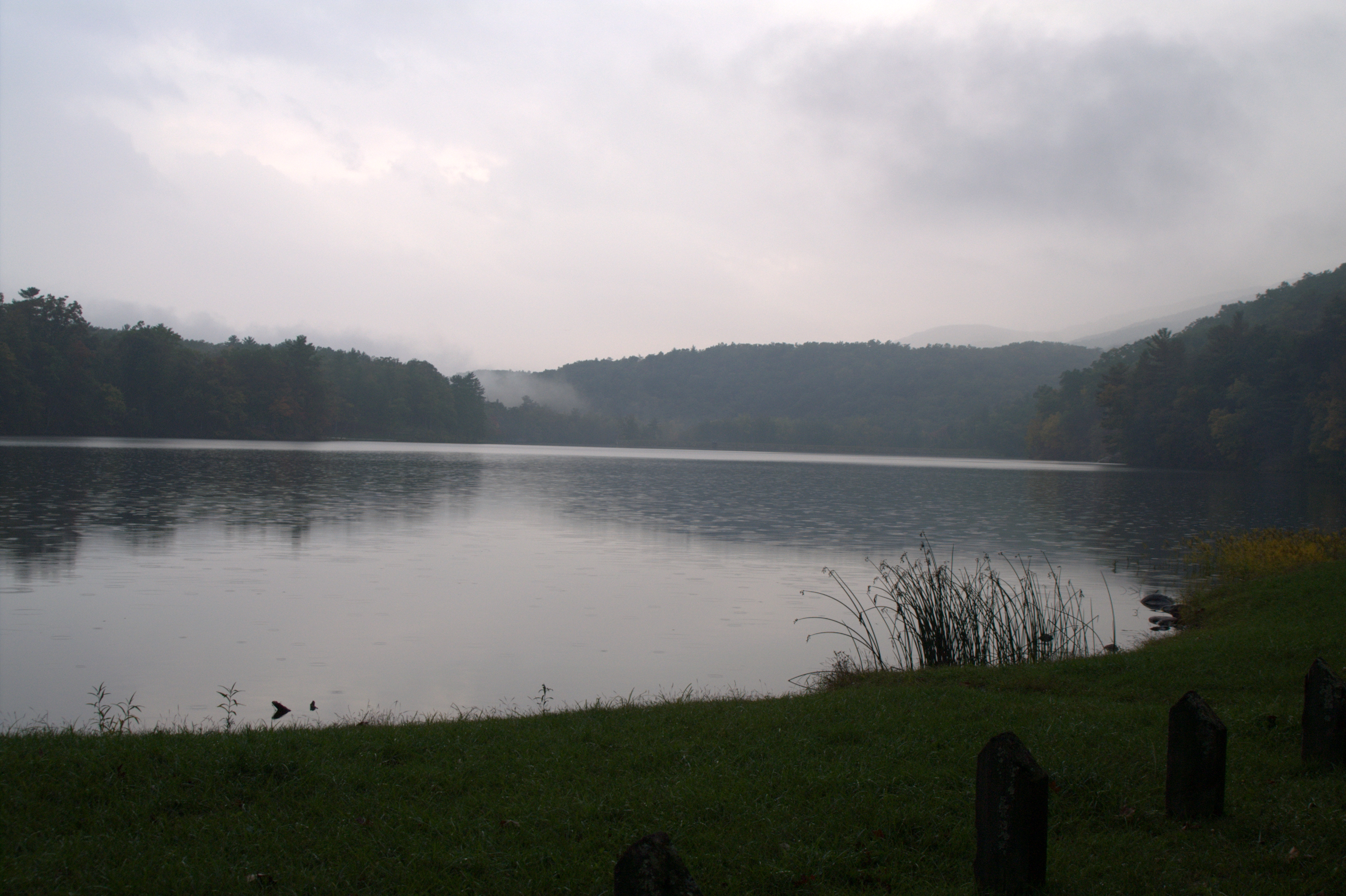
Douthat LakeLocation Bath / Alleghany counties, Virginia, USA Nearest city Clifton Forge, Virginia Coordinates 37°53′51″N 79°48′40″W / 37.8975°N 79.81111°WCoordinates: 37°53′51″N 79°48′40″W / 37.8975°N 79.81111°W Area 4,546 acres (18 km2) Governing body Virginia Department of Conservation and Recreation Douthat State Park is a state park located in the Allegheny Mountains in Virginia. It is in Bath County and Alleghany County. The park is 4,546 acres (18 km2) total with a 50-acre (20 ha) lake.
Contents
History
Douthat State Park opened June 15, 1936. It was one of the original six state parks of Virginia. The Douthat Land Company, a group of businessmen, donated the first portion of land — 1,920 acres (780 ha). In 1933, the Virginia General Assembly allotted $50,000 for the purchase of land for state parks, and the remainder of the present-day park was purchased with this money. Approximately 600 men from the Civilian Conservation Corps developed and constructed the majority of the modern-day park system between 1933 and 1942.
Attractions
- Mountain biking : Douthat State Park has become a premier mountain biking destination. Twenty-four of the twenty-six trails at Douthat are open to biking. The park has been heralded as the best mountain biking destination on the East Coast. By spring 2009, almost all of the 45 miles of 70-year-old Civilian Conservation Corps trail at Douthat will be restored to its original condition with sustainable trail design techniques integrated to maintain a unique mountain biking experience.
- Fishing : Douthat allows trout fishing in its stocked lake with a valid Virginia Fishing License and a daily permit.
- Boating : A boat ramp launch is available April through October. Jonboats (including those with electric motors), canoes, paddleboats, hydrobikes and funyaks (similar to kayaks) are available for rental. No gasoline-powered boats are allowed on the lake.
- Hiking - Over 43 miles (69 km) of varied difficulty trails are available, many of them created originally by the Civilian Conservation Corps. Horseback riding at the park is restricted to several trails on the Western side of the park and mountain biking is permitted on nearly all of the trails.
- Swimming : The beach area of the lake is available from Memorial Day through Labor Day.
- Restaurant/store
Douthat Lake View Restaurant was built by the CCC and overlooks the lake. Next to the restaurant are a camp store and a gift shop.
- Picnicking : There are three picnic areas with shelters that can be reserved for a group.
- Hunting : Hunting is allowed by reservation with the appropriate permits.
Lodging
Douthat has lodges, cabins, and campgrounds for rental. Douthat Lodge was built by the CCC and is a log building that houses up to 15 guests, while Creasey Lodge is woodframe and holds up to 18 guests. Douthat has 30 total cabins, which vary in size and can hold 1-6 people.
There are 74 total individual campsites and one group campsite, called Beaver Dam Group Site. 55 of the camping sites have electrical hookups available.
Awards and recognitions
- 1986 - Douthat recognized as a Nationally Registered Historic District
- 1998 - Virginia Lakes and Watersheds Association Award for Best Operated and Maintained Dam
- 1999 - Centennial Medallion from the American Society of Landscape Architects
- 1999 - named one of Outside Family Vacation Guide's top ten state parks
See also
External links
- Main Information page for Douthat State Park
- Douthat State Park in World Database on Protected Areas
- Hunting at Virginia State Parks
- Virginia State Parks park fees
- Douthat State Park Environmental Education Group
Categories:- IUCN Category V
- Virginia state parks
- Appalachian Mountains
- Parks in Bath County, Virginia
- Parks in Alleghany County, Virginia
- Mountain biking venues in the United States
- Civilian Conservation Corps in Virginia
- Protected areas established in 1936
Wikimedia Foundation. 2010.