- Collinsville, Texas
-
Collinsville, Texas — Town — Location of Collinsville, Texas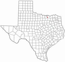
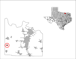
Coordinates: 33°33′39″N 96°54′40″W / 33.56083°N 96.91111°WCoordinates: 33°33′39″N 96°54′40″W / 33.56083°N 96.91111°W Country United States State Texas County Grayson Area – Total 0.7 sq mi (1.9 km2) – Land 0.7 sq mi (1.9 km2) – Water 0.0 sq mi (0.0 km2) Elevation 751 ft (229 m) Population (2000) – Total 1,235 – Density 1,720.6/sq mi (664.3/km2) Time zone Central (CST) (UTC-6) – Summer (DST) CDT (UTC-5) ZIP code 76233 Area code(s) 903 FIPS code 48-16036[1] GNIS feature ID 1354802[2] Collinsville is a town in Grayson County, Texas, in the United States. As of the 2000 census, the town population was 1,235. It is part of the Sherman–Denison Metropolitan Statistical Area.
Contents
Geography
Collinsville is located at 33°33′39″N 96°54′40″W / 33.56083°N 96.91111°W (33.560731, -96.911027)[3].
According to the United States Census Bureau, the town has a total area of 0.7 square miles (1.8 km2), all of it land.
Demographics
As of the census[1] of 2000, there were 1,235 people, 469 households, and 346 families residing in the town. The population density was 1,720.6 people per square mile (662.3/km²). There were 507 housing units at an average density of 706.3 per square mile (271.9/km²). The racial makeup of the town was 93.60% White, 0.32% African American, 0.40% Native American, 4.37% from other races, and 1.30% from two or more races. Hispanic or Latino of any race were 5.59% of the population.
59.9% were married couples living together, 10.2% had a female householder with no husband present, and 26.2% were non-families. 23.9% of all households were made up of individuals and 13.9% had someone living alone who was 65 years of age or older. The average household size was 2.57 and the average family size was 3.03.
In the town the population was spread out with 26.8% under the age of 18, 7.4% from 18 to 24, 27.7% from 25 to 44, 20.5% from 45 to 64, and 17.6% who were 65 years of age or older. The median age was 37 years. For every 100 females there were 93.6 males. For every 100 females age 18 and over, there were 87.6 males.
The median income for a household in the town was $32,833, and the median income for a family was $41,000. Males had a median income of $27,763 versus $22,232 for females. The per capita income for the town was $15,123. About 8.1% of families and 10.2% of the population were below the poverty line, including 13.9% of those under age 18 and 10.4% of those age 65 or over.
Structures
The Salem Radio Properties Tower, a guyed mast, is among the world's tallest structures. Another very high guyed mast is the AMFM Tower Collinsville.
References
- ^ a b "American FactFinder". United States Census Bureau. http://factfinder.census.gov. Retrieved 2008-01-31.
- ^ "US Board on Geographic Names". United States Geological Survey. 2007-10-25. http://geonames.usgs.gov. Retrieved 2008-01-31.
- ^ "US Gazetteer files: 2010, 2000, and 1990". United States Census Bureau. 2011-02-12. http://www.census.gov/geo/www/gazetteer/gazette.html. Retrieved 2011-04-23.
Municipalities and communities of Grayson County, Texas Cities Denison | Gunter | Sadler | Sherman | Southmayd | Tom Bean | Van Alstyne‡ | Whitesboro
Towns Bells | Collinsville | Dorchester | Howe | Pottsboro | Tioga | Whitewright‡
Village Unincorporated
communitiesGordonville | Luella
Ghost town Preston
Footnotes ‡This populated place also has portions in an adjacent county or counties
Categories:- Populated places in Grayson County, Texas
- Towns in Texas


Wikimedia Foundation. 2010.