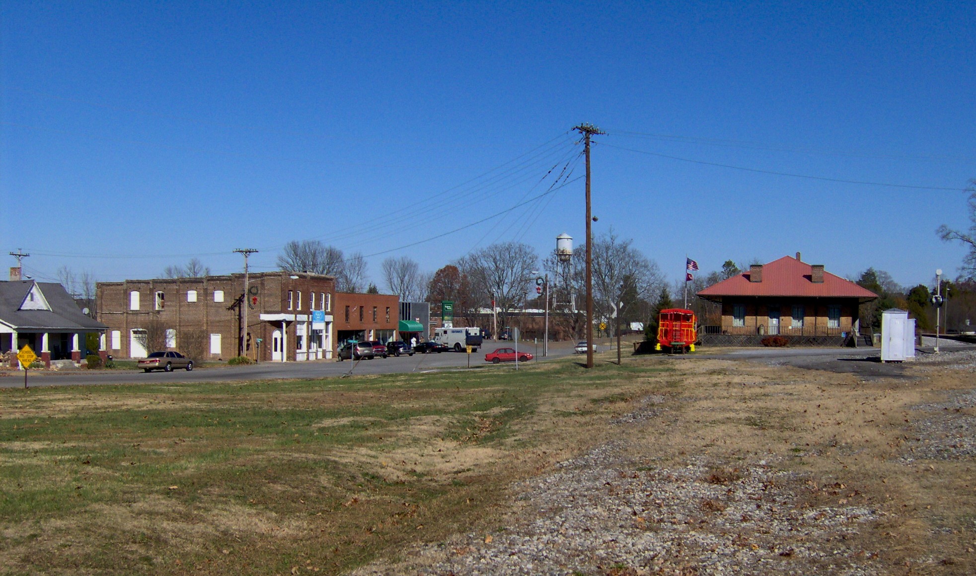
- Niota, Tennessee
-
Niota, Tennessee — City — Niota, Tennessee Location of Niota, Tennessee
Coordinates: 35°30′51″N 84°32′50″W / 35.51417°N 84.54722°WCoordinates: 35°30′51″N 84°32′50″W / 35.51417°N 84.54722°W Country United States State Tennessee County McMinn Area – Total 2.0 sq mi (5.2 km2) – Land 2.0 sq mi (5.2 km2) – Water 0.0 sq mi (0.0 km2) Elevation 1,007 ft (307 m) Population (2000) – Total 781 – Density 389.0/sq mi (150.2/km2) Time zone Eastern (EST) (UTC-5) – Summer (DST) EDT (UTC-4) ZIP code 37826 Area code(s) 423 FIPS code 47-53380[1] GNIS feature ID 1648566[2] Niota is a city in McMinn County, Tennessee, United States. The population was 781 at the 2000 census.
Contents
History
The community was originally called "Mouse Creek," but was renamed in 1897 to avoid confusion with a railroad stop in Jefferson City that was named "Mossy Creek." The name "Niota" was based on the name of a fictional character in a dime novel, a Native American chief named "Nee-o-tah."[3]
Geography
Niota is located at 35°30′51″N 84°32′50″W / 35.51417°N 84.54722°W (35.514230, -84.547132)[4].
According to the United States Census Bureau, the city has a total area of 2.0 square miles (5.2 km2), all of it land.
Demographics
As of the census[1] of 2000, there were 781 people, 344 households, and 231 families residing in the city. The population density was 389.0 people per square mile (150.0/km²). There were 382 housing units at an average density of 190.3 per square mile (73.4/km²). The racial makeup of the city was 96.67% White, 2.05% African American, 0.38% Asian, and 0.90% from two or more races. Hispanic or Latino of any race were 0.51% of the population.
There were 344 households out of which 29.4% had children under the age of 18 living with them, 54.7% were married couples living together, 7.8% had a female householder with no husband present, and 32.6% were non-families. 29.1% of all households were made up of individuals and 14.2% had someone living alone who was 65 years of age or older. The average household size was 2.27 and the average family size was 2.76.
In the city the population was spread out with 21.9% under the age of 18, 7.6% from 18 to 24, 28.7% from 25 to 44, 25.6% from 45 to 64, and 16.3% who were 65 years of age or older. The median age was 40 years. For every 100 females there were 91.4 males. For every 100 females age 18 and over, there were 88.3 males.
The median income for a household in the city was $28,750, and the median income for a family was $36,136. Males had a median income of $30,119 versus $21,964 for females. The per capita income for the city was $15,152. About 8.6% of families and 12.1% of the population were below the poverty line, including 17.9% of those under age 18 and 10.3% of those age 65 or over.
Notable people
- Harry T. Burn, member of the Tennessee General Assembly, was born in Niota and lived in the community. He is best remembered as the state legislator whose vote secured the ratification of the 19th Amendment to the U.S. Constitution , giving U.S. women the right to vote.
- Robert C. Snyder, English professor at Louisiana Tech University, was born in Niota in 1919.
References
- ^ a b "American FactFinder". United States Census Bureau. http://factfinder.census.gov. Retrieved 2008-01-31.
- ^ "US Board on Geographic Names". United States Geological Survey. 2007-10-25. http://geonames.usgs.gov. Retrieved 2008-01-31.
- ^ Jim Matheny, Why do they call it that? Niota in McMinn County, WBIR-TV website, September 10, 2010
- ^ "US Gazetteer files: 2010, 2000, and 1990". United States Census Bureau. 2011-02-12. http://www.census.gov/geo/www/gazetteer/gazette.html. Retrieved 2011-04-23.
External links
Municipalities and communities of McMinn County, Tennessee Cities Athens | Etowah | Niota | Sweetwater‡
Towns Unincorporated
communitiesClaxton | Mount Verd | Riceville
Footnotes ‡This populated place also has portions in an adjacent county or counties
Categories:- Cities in Tennessee
- Populated places in McMinn County, Tennessee

Wikimedia Foundation. 2010.