- Calhoun, Tennessee
Infobox Settlement
official_name = Calhoun, Tennessee
settlement_type =Town
nickname =
motto =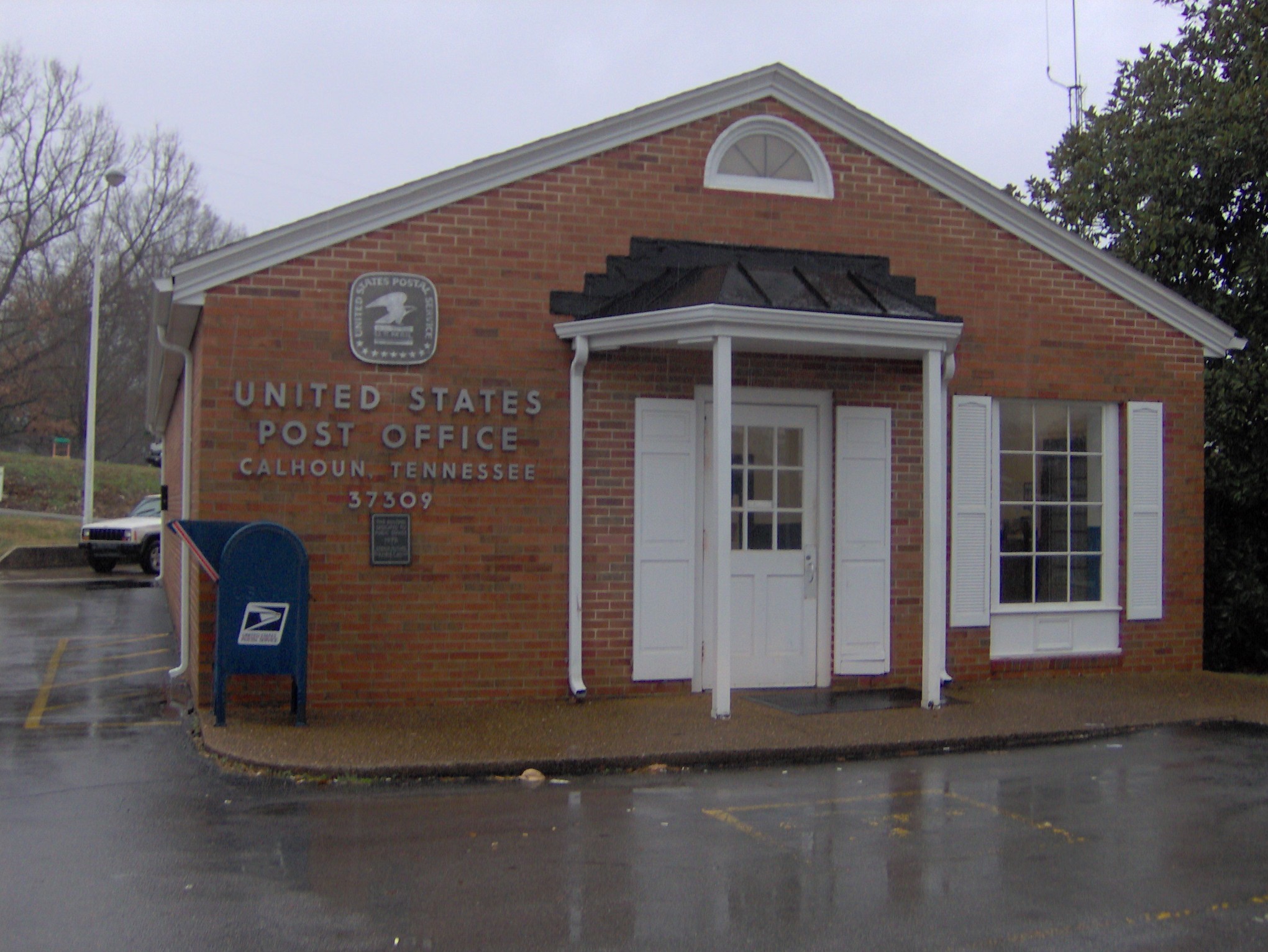
imagesize = 250px
image_caption = The post office in Calhoun
image_
mapsize = 250px
map_caption = Location of Calhoun, Tennessee
mapsize1 =
map_caption1 =subdivision_type = Country
subdivision_name =United States
subdivision_type1 = State
subdivision_name1 =Tennessee
subdivision_type2 = County
subdivision_name2 = McMinngovernment_footnotes =
government_type =
leader_title =
leader_name =
leader_title1 =
leader_name1 =
established_title =
established_date =unit_pref = Imperial
area_footnotes =area_magnitude =
area_total_km2 = 2.8
area_land_km2 = 2.6
area_water_km2 = 0.1
area_total_sq_mi = 1.1
area_land_sq_mi = 1.0
area_water_sq_mi = 0.0population_as_of = 2000
population_footnotes =
population_total = 496
population_density_km2 = 187.8
population_density_sq_mi = 486.4timezone = Eastern (EST)
utc_offset = -5
timezone_DST = EDT
utc_offset_DST = -4
elevation_footnotes =
elevation_m = 217
elevation_ft = 712
latd = 35 |latm = 17 |lats = 45 |latNS = N
longd = 84 |longm = 44 |longs = 53 |longEW = Wpostal_code_type =
ZIP code
postal_code = 37309
area_code = 423
blank_name = FIPS code
blank_info = 47-10440GR|2
blank1_name = GNIS feature ID
blank1_info = 1279325GR|3
website =
footnotes =Calhoun is a town in McMinn County,
Tennessee ,United States . The population was 496 at the 2000 census.Geography
Calhoun is located at coor dms|35|17|45|N|84|44|53|W|city (35.295712, -84.748027)GR|1. The town is situated along the north bank of the
Hiwassee River , which flows down from theAppalachian Mountains to the east and empties into theChickamauga Lake impoundment of theTennessee River a few miles to the west. The river forms the boundary between McMinn County and Bradley County. The town of Charleston is located across the river to the south, on the Bradley County side.Calhoun is centered around the junction of
U.S. Route 11 , which connects the town toAthens, Tennessee to the north and Charleston and Cleveland to the south, and State Route 163 (Bowater Road), which connects Calhoun toU.S. Route 411 in Delano to the east andInterstate 75 and Meigs County to the west.According to the
United States Census Bureau , the town has a total area of 1.1square mile s (2.8km² ), of which, 1.0 square miles (2.6 km²) of it is land and 0.1 square miles (0.1 km²) of it (4.67%) is water.Demographics
As of the
census GR|2 of 2000, there were 496 people, 205 households, and 148 families residing in the town. Thepopulation density was 486.4 people per square mile (187.8/km²). There were 225 housing units at an average density of 220.6/sq mi (85.2/km²). The racial makeup of the town was 97.78% White, 0.81% African American, 1.01% Asian, and 0.40% from two or more races. Hispanic or Latino of any race were 3.43% of the population.There were 205 households out of which 28.3% had children under the age of 18 living with them, 60.0% were married couples living together, 7.8% had a female householder with no husband present, and 27.8% were non-families. 25.9% of all households were made up of individuals and 10.7% had someone living alone who was 65 years of age or older. The average household size was 2.42 and the average family size was 2.86.
In the town the population was spread out with 22.6% under the age of 18, 6.0% from 18 to 24, 25.2% from 25 to 44, 29.2% from 45 to 64, and 16.9% who were 65 years of age or older. The median age was 41 years. For every 100 females there were 101.6 males. For every 100 females age 18 and over, there were 93.9 males.
The median income for a household in the town was $38,438, and the median income for a family was $44,688. Males had a median income of $36,563 versus $20,333 for females. The
per capita income for the town was $19,984. About 5.3% of families and 10.2% of the population were below thepoverty line , including 3.5% of those under age 18 and 9.5% of those age 65 or over.History
The Calhoun area was settled by John Walker (c. 1770-1834), a part-
Cherokee grandson ofNancy Ward and a prominent figure in the formation of McMinn County. Walker operated a ferry along the Hiwassee River and helped contract the Cherokee Turnpike Company in 1806, which maintained the road between Knoxville and Georgia. In 1819, Walker helped negotiate the Calhoun Treaty, in which the Cherokee ceded the remaining lands between theLittle Tennessee River and the Hiwassee River, including what is now McMinn County. McMinn County was organized at Walker's house that same year. [C. Stephen Byrum, "McMinn County" (Memphis, Tenn.: Memphis State University Press, 1984), 9-20.] In 1820, Walker laid out the town of Calhoun, which he named for the Calhoun Treaty's chief U.S. negotiator,John C. Calhoun . Walker would eventually be assassinated by two anti-removal Cherokees, who felt he had betrayed the Cherokee Nation. [" [http://www.rootsweb.com/~tnmcminn/Goodspd1.html Goodspeed's History of McMinn County, Tennessee] ," 1887. Transcribed for web content by Harold Mitchell. Retrieved: 31 December 2007.]Calhoun today
In
1954 , the pulp and paper giantBowater, Inc. established a plant in Calhoun that soon grew to become one of the largest newsprint mills in North America. The mill, which dominates the western half of Calhoun, produces 750,000 metric tons of newsprint and specialty paper per year. [" [http://www.bowater.com/en/locations_calhoun.shtml Bowater — Calhoun, Tennessee Operations] ," 2007. Retrieved: 31 December 2007.]On
December 11 ,1990 , a heavy fog led to a crash involving 99 vehicles along Interstate 75 near Calhoun, killing 12 and injuring 42. As a result, theNational Transportation Safety Board has installed electronic speed limit signs equipped with fog sensors along the Calhoun section of the interstate. [The National Transportation Safety Board, " [http://www.ntsb.gov/publictn/1992/HAR9202.htm Highway Accident Report HAR-92/02] ." Adopted: 28 September 1992. Retrieved: 31 December 2007.] [Matthew Wald, " [http://www.sactaqc.org/Resources/Literature/Transportation/Fog_warning2.htm War on Road Fog Lacks Easy Solution] ." "The New York Times", 18 June 2003. Retrieved: 31 December 2007.]References
External links
Wikimedia Foundation. 2010.