- Duchouquet Township, Auglaize County, Ohio
-
Duchouquet Township, Auglaize County, Ohio — Township — Location of Duchouquet Township in Auglaize County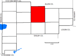
Coordinates: 40°35′26″N 84°10′55″W / 40.59056°N 84.18194°WCoordinates: 40°35′26″N 84°10′55″W / 40.59056°N 84.18194°W Country United States State Ohio County Auglaize Area – Total 42.3 sq mi (109.5 km2) – Land 42.2 sq mi (109.3 km2) – Water 0.1 sq mi (0.2 km2) Elevation[1] 925 ft (282 m) Population (2000) – Total 14,329 – Density 339.6/sq mi (131.1/km2) Time zone Eastern (EST) (UTC-5) – Summer (DST) EDT (UTC-4) FIPS code 39-22722[2] GNIS feature ID 1085763[1] 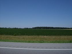 Parts of Duchouquet Township are covered by farms and woods.
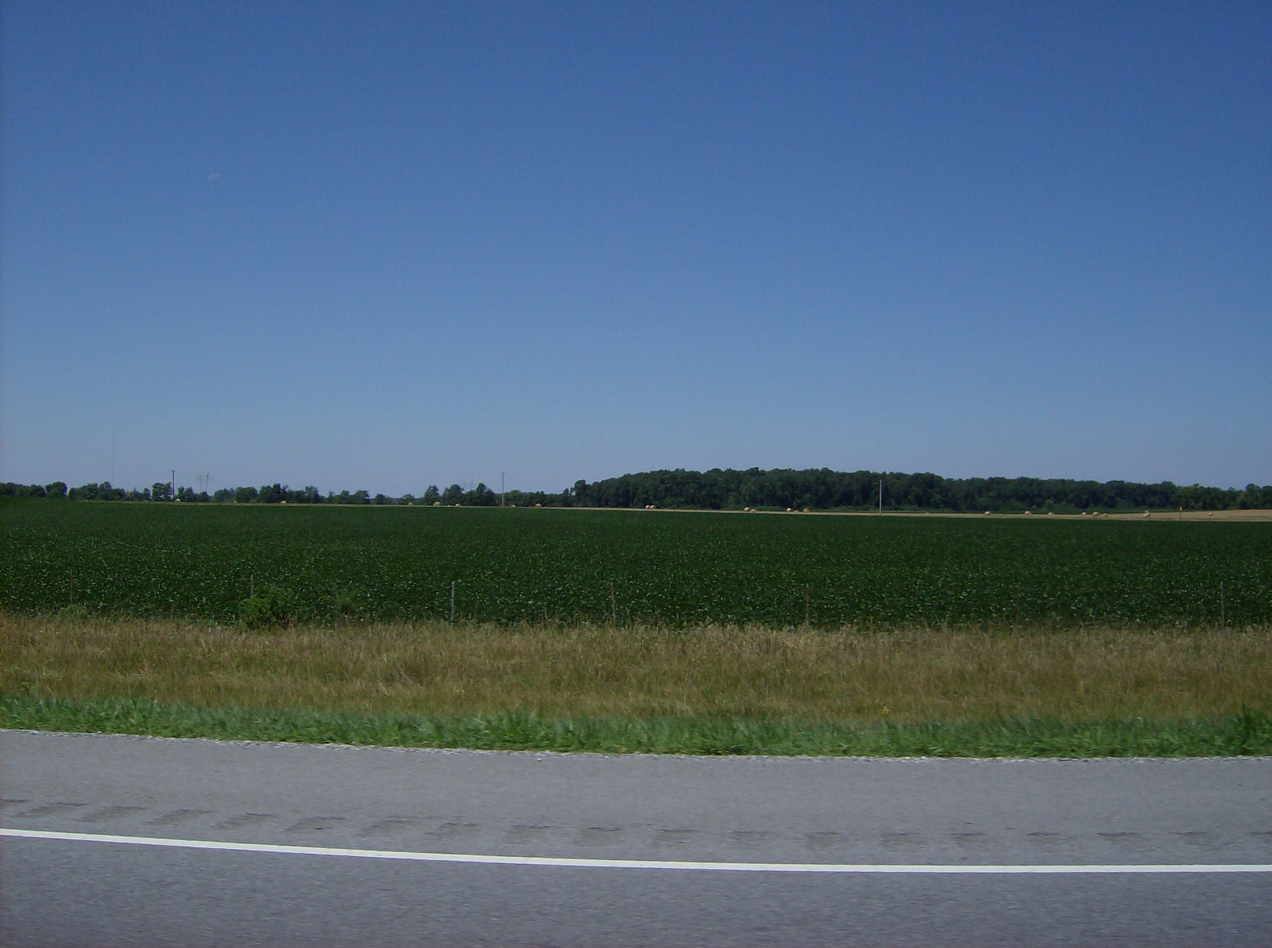
Duchouquet Township (
 /duːˈʃɪkɨt/) is one of the fourteen townships of Auglaize County, Ohio, United States. The 2000 census found 14,329 people in the township, 3,111 of whom lived in the unincorporated portions of the township.[3]
Contents
Geography
Located in the northern part of the county, it borders the following townships:
- Shawnee Township, Allen County - north
- Perry Township, Allen County - northeast
- Union Township - east
- Clay Township - southeast corner
- Pusheta Township - south
- Washington Township - southwest corner
- Moulton Township - west
- Logan Township - northwest corner
Most of Wapakoneta, the largest city and county seat of Auglaize County, is located in southwestern Duchouquet Township, and the village of Cridersville is located in the township's northeast.
Duchouquet Township is the largest township in the county, containing forty-two whole sections.[4] It is the largest township in the county, both in population[3] and in area. The Auglaize River flows through the township.[5]
Name and history
Named for Francis Duchoquet, a French trapper who lived with local Shawnees,[6] it is the only Duchouquet Township statewide.[7]
A significant Council House was built in the area by the Shawnee, who arrived in the area after the Miami were forced out in the 1780s. This structure was a meeting place for the most prominent Native American leaders in the region, such as Blue Jacket, Chief Logan, Little Turtle, and Tecumseh. Meanwhile, the township was also the site of an early Quaker mission.[8]
Duchouquet Township was formed on March 4, 1833 while still part of Allen County.[9] After the creation of Auglaize County in 1848, six square miles that had been previously been a part of Shawnee Township in Allen County were attached to northern Duchouquet Township.[10]
Government
The township is governed by a three-member board of trustees, who are elected in November of odd-numbered years to a four-year term beginning on the following January 1. Two are elected in the year after the presidential election and one is elected in the year before it. There is also an elected township fiscal officer,[11] who serves a four-year term beginning on April 1 of the year after the election, which is held in November of the year before the presidential election. Vacancies in the fiscal officership or on the board of trustees are filled by the remaining trustees.
Public services
The entire township is in the Wapakoneta City School District.
The southern sections of Duchouquet Township are served by the Wapakoneta post office (45895) with the northern section being served by the Cridersville branch of the Lima post office (45806).
Major highways include Interstate 75 which crosses the county from north to south, passing through both municipalities, and United States Highway 33 which sits on the township's southern border and passes through Wapakoneta.[5]
References
- ^ a b "US Board on Geographic Names". United States Geological Survey. 2007-10-25. http://geonames.usgs.gov. Retrieved 2008-01-31.
- ^ "American FactFinder". United States Census Bureau. http://factfinder.census.gov. Retrieved 2008-01-31.
- ^ a b Auglaize County, Ohio — Population by Places Estimates Ohio State University, 2007. Accessed 15 May 2007.
- ^ Auglaize County, Ohio 2006 Highway Map Auglaize County Engineer's Office, 2006. Accessed 5 July 2007.
- ^ a b DeLorme. Ohio Atlas & Gazetteer. 7th ed. Yarmouth: DeLorme, 2004, p. 45. ISBN 0-89933-281-1.
- ^ City of Wapakoneta >> City History, Wapakoneta. Accessed 2007-07-03.
- ^ "Detailed map of Ohio" (PDF). United States Census Bureau. 2000. http://www2.census.gov/geo/maps/general_ref/cousub_outline/cen2k_pgsz/oh_cosub.pdf. Retrieved 2007-02-16.
- ^ City of Wapakoneta >> City History, Wapakoneta. Accessed 2007-07-03.
- ^ .Auglaize County, Ohio Atlas and History, Piqua: Magee Brother Publishing, 1917. Accessed 5 July 2007. page 111
- ^ History of Western Ohio and Auglaize County, Wapakoneta: W.M. Linn & Sons, 1905. Accessed 17 August 2009.
- ^ §503.24, §505.01, and §507.01 of the Ohio Revised Code. Accessed 4/30/2009.
External links
Municipalities and communities of Auglaize County, Ohio Cities 
Villages Buckland | Cridersville | Minster | New Bremen | New Knoxville | Uniopolis | Waynesfield
Townships CDPs Unincorporated
communitiesCategories:- Townships in Auglaize County, Ohio
- 1833 establishments in the United States
- Populated places established in 1833


Wikimedia Foundation. 2010.