- Mount Kearsarge (Merrimack County, New Hampshire)
-
This article is about the mountain in Wilmot and Warner, New Hampshire. For the mountain of the same name near North Conway, New Hampshire, see Mount Kearsarge (Carroll County, New Hampshire). For other uses, see Kearsarge (disambiguation).
Mount Kearsarge 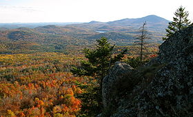
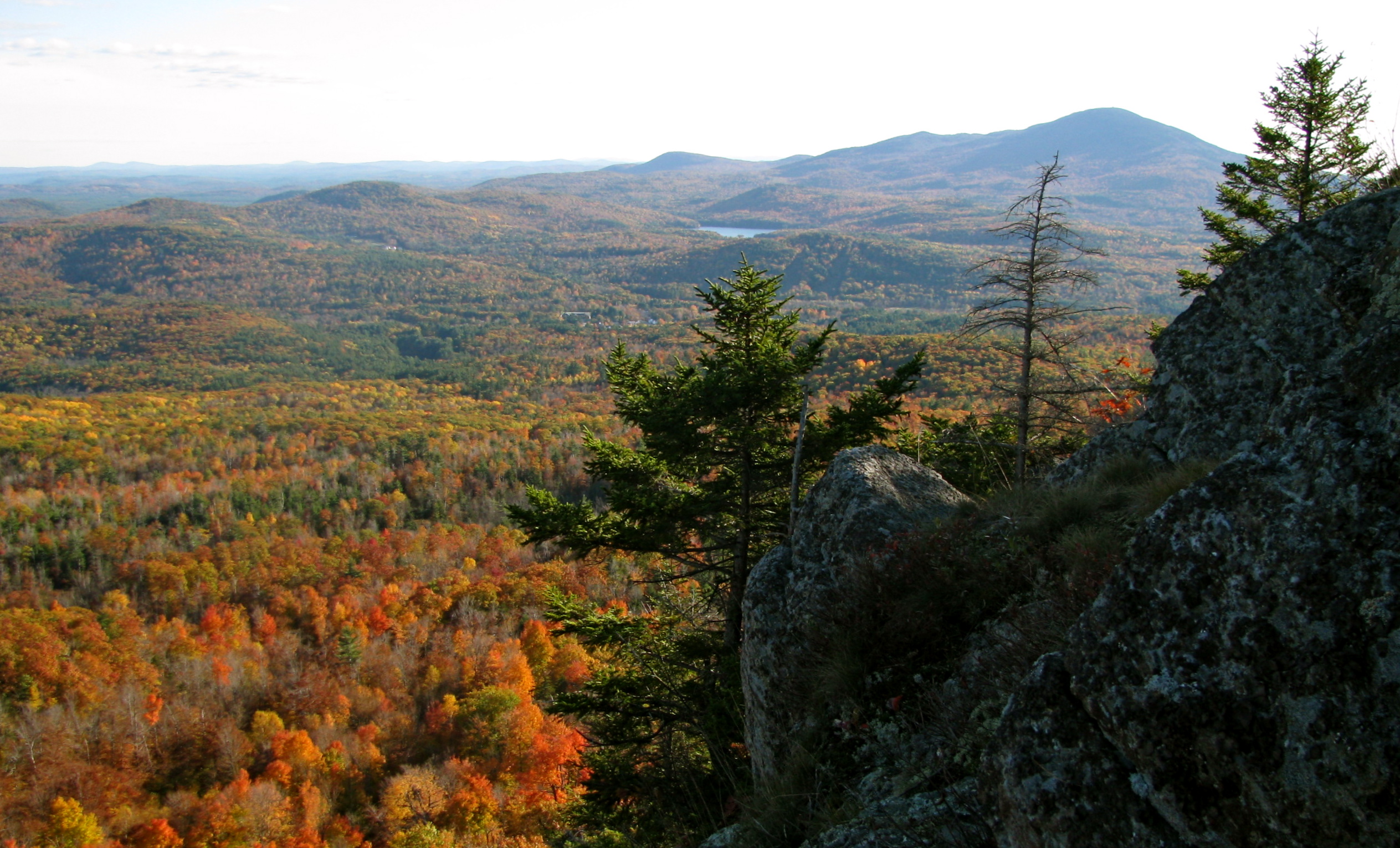
View of Mount Kearsarge from The Bulkhead on Ragged MountainElevation 895 m (2,936 ft) Prominence 640 m (2,100 ft) Location Location Merrimack County, New Hampshire, USA Coordinates 43°22.99′N 71°51.44′W / 43.38317°N 71.85733°WCoordinates: 43°22.99′N 71°51.44′W / 43.38317°N 71.85733°W Topo map USGS Andover (NH) Mount Kearsarge is the name of a 2,937-foot (895 m) mountain located in Wilmot, New Hampshire, and Warner, New Hampshire. Two state parks are located on the mountain: Winslow State Park and Rollins State Park. On a very clear day, skyscrapers in the city of Boston, Massachusetts 80 miles (130 km) away are visible from the fire tower on the summit. The summit has remained bare since a 1796 forest fire.
The name of the mountain evolved from a 1652 rendering of the indigenous name for the mountain, Carasarga, which it is surmised means "notch-pointed-mountain of pines."
Contents
Geography
Kearsarge is a monadnock, and although of only moderate elevation, its isolation gives it 2,100 ft (640 m) of relative height above the low ground separating it from the higher mountains farther north. That makes Kearsarge one of twelve mountains in New Hampshire with a prominence over 2,000 ft (610 m).[1]
Mount Kearsarge stands within the watershed of the Merrimack River, which drains into the Gulf of Maine. The western slopes of the mountain drain into Cascade Brook, which flows north to the Blackwater River, a stream which flows around the northern and eastern base of Kearsarge, eventually draining into the Contoocook River, a tributary of the Merrimack. The northern and eastern slopes of the mountain drain more directly into the Blackwater River. The southern face of Mount Kearsarge drains into Meadow Brook, a tributary of the Warner River, which flows southeast to the Contoocook River.
Kearsarge is a popular hiking destination. The summit is the high point along the 75-mile (120 km) Sunapee-Ragged-Kearsarge Greenway hiking trail which links 10 towns and encircles the Kearsarge-Lake Sunapee region of western New Hampshire. The quickest route to the top is from the Rollins State Park picnic area on the mountain's south ridge, accessible via Kearsarge Mountain Road from the town of Warner. Access on the mountain's western side is from the picnic area of Winslow State Park via the Winslow Trail (1.1 mi) or the Barlow Trail (1.6 mi.), built in 1997 by Trailwrights, a volunteer trail group, for the SRK Greenway. The full Greenway section hike on Mt. Kearsarge covers 5.8 miles (9.3 km) from Winslow picnic area via the Barlow Trail to the summit and via the Rollins and Lincoln trails southwesterly to Kearsarge Valley Road in North Sutton.
 Summit of Mt. Kearsarge
The Winslow Trail and the state park on the Wilmot side are named after Captain John Winslow,[citation needed] the commander of the USS Kearsarge, which in June 1864 sank the CSS Alabama in the English Channel in a famous Civil War sea battle. More directly, the park is named after a hotel that stood on the grounds, the Winslow House, site of the current picnic grounds.[1]
See also
- Mount Kearsarge (Carroll County, New Hampshire), a 3,268-foot (996 m) peak in the White Mountains, east of Bartlett, New Hampshire. The mountain's Abenaki name is "Pequawket". On topographic maps, the mountain is referred to as "Kearsarge North".
- List of mountains in New Hampshire
References
- ^ "Winslow State Park". NHStateParks.com (unofficial website). http://www.nhstateparks.com/winslow.html. Retrieved November 7, 2011.
External links
Categories:- Mountains of New Hampshire
- Landforms of Merrimack County, New Hampshire
- Fire lookout towers in New Hampshire

![[1]](http://www.peaklist.org/USmaps/newenglandsummits.gif)
Wikimedia Foundation. 2010.