Middelfart Municipality

Middelfart Municipality
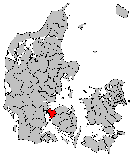
Map of the municipality

Middelfart municipality is a municipality (Danish, kommune) in Region of Southern Denmark on the west coast of the island of Funen in southern Denmark. The municipality covers an area of 297 km². It has a total population of 37,274 (2008). Its mayor is Steen Dahlstrøm, a member of the Social Democrats (Socialdemokraterne) political party. The main town and the site of its municipal council is the town of Middelfart.

The Snævringen ("The Narrowing"), is the strait that separates the island of Funen from the Jutland mainland in this area, where the two lie very close to each other, often less than 1.5 km apart. Snævringen is an extension of the Kattegat, and begins near the cities of Fredericia and Middelfart. To the south of the municipality is Fænø Strait (Fænø Sund), which separates Funen from the municipality's island of Fænø.

On January 1, 2007 Middelfart municipality was, as the result of Kommunalreformen ("The Municipal Reform" of 2007), merged with Ejby and Nørre Aaby municipalities to form an enlarged Middelfart municipality.

External links

References

Coordinates: 55°30′N 9°45′E / 55.5°N 9.75°E / 55.5; 9.75


Wikimedia Foundation. 2010.

Игры ⚽ Поможем решить контрольную работу

Look at other dictionaries:

  • Middelfart — Town …   Wikipedia

  • Middelfart G&BK — Full name Middelfat Gymnastik Boldklub Nickname(s) MG BK Founded 25 May 1900 Ground Middelfart Stadion, Middelfart (Capacity: 4,000) …   Wikipedia

  • Ejby Municipality — Until January 1, 2007, Ejby municipality was a municipality (Danish, kommune ) in Funen County on the north and west coasts of the island of Funen in southern Denmark. The municipality included the island of Brandsø, and covered an area of 163… …   Wikipedia

  • Kolding Municipality — Lutheran church in KoldingKolding municipality is a municipality (Danish, kommune ) in Region Syddanmark on the east coast of the Jutland peninsula in southeast Denmark. The municipality covers an area of 640 km², and has a total population of 87 …   Wikipedia

  • Nørre Aaby Municipality — Until January 1, 2007 Nørre Aaby municipality was a municipality (Danish, kommune) in the former Funen County on the north and west coasts of the island of Funen in southern Denmark. The municipality covered an area of 65 km², and had a… …   Wikipedia

  • Fredericia Municipality — Geobox Region color = #c0ccfa name = Fredericia municipality native name = Fredericia Kommune other name = other name1 = category = image size = image caption = The old courthouse in Fredericia flag size = symbol = symbol size = symbol caption =… …   Wikipedia

  • Odense Municipality — Coordinates: 55°23′45.48″N 10°23′18.73″E / 55.3959667°N 10.3885361°E / 55.3959667; 10.3885361 …   Wikipedia

  • Copenhagen Municipality — Coordinates: 55°40′31″N 12°34′13″E / 55.67528°N 12.57028°E / 55.67528; 12.57028 …   Wikipedia

  • Odder Municipality — Location of Odder municipality Odder municipality is a municipality in Region Midtjylland on the east coast of the Jutland peninsula in central Denmark just south of Aarhus and is a part of the greater Aarhus area. The municipality includes the… …   Wikipedia

  • Aarup Municipality — Before the Kommunalreformen ( The Municipality Reform of 2007), Aarup municipality was a municipality (Danish, kommune ) in Region Syddanmark on the island of Funen in central Denmark. The municipality covered an area of 81 km², and had a total… …   Wikipedia

Share the article and excerpts

Direct link
Do a right-click on the link above
and select “Copy Link”