- Cherry Fork, Ohio
-
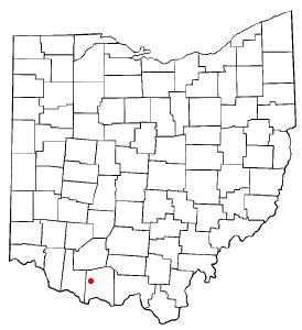
Cherry Fork, Ohio — Village — Location of Cherry Fork, Ohio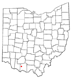
Coordinates: 38°53′17″N 83°36′46″W / 38.88806°N 83.61278°WCoordinates: 38°53′17″N 83°36′46″W / 38.88806°N 83.61278°W Country United States State Ohio County Adams Area - Total 0.1 sq mi (0.3 km2) - Land 0.1 sq mi (0.3 km2) - Water 0.0 sq mi (0.0 km2) Elevation[1] 899 ft (274 m) Population (2000) - Total 127 - Density 1,040.2/sq mi (401.6/km2) Time zone Eastern (EST) (UTC-5) - Summer (DST) EDT (UTC-4) ZIP code 45618 Area code(s) 937 FIPS code 39-13834[2] GNIS feature ID 1060952[1] Cherry Fork is a village in Adams County, Ohio, United States. The population was 127 at the 2000 census.
Geography
Cherry Fork is located at 38°53′17″N 83°36′46″W / 38.88806°N 83.61278°W (38.888012, -83.612640)[3].
According to the United States Census Bureau, the village has a total area of 0.1 square miles (0.26 km2), all of it land.
Demographics
As of the census[2] of 2000, there were 127 people, 48 households, and 36 families residing in the village. The population density was 1,040.2 people per square mile (408.6/km²). There were 54 housing units at an average density of 442.3 per square mile (173.7/km²). The racial makeup of the village was 100.00% White.
There were 48 households out of which 37.5% had children under the age of 18 living with them, 45.8% were married couples living together, 18.8% had a female householder with no husband present, and 25.0% were non-families. 22.9% of all households were made up of individuals and 6.3% had someone living alone who was 65 years of age or older. The average household size was 2.65 and the average family size was 3.00.
In the village the population was spread out with 31.5% under the age of 18, 9.4% from 18 to 24, 32.3% from 25 to 44, 19.7% from 45 to 64, and 7.1% who were 65 years of age or older. The median age was 28 years. For every 100 females there were 95.4 males. For every 100 females age 18 and over, there were 85.1 males.
The median income for a household in the village was $24,821, and the median income for a family was $24,821. Males had a median income of $23,750 versus $26,250 for females. The per capita income for the village was $10,568. There were 23.3% of families and 26.7% of the population living below the poverty line, including 37.5% of under eighteens and none of those over 64.
References
- ^ a b "US Board on Geographic Names". United States Geological Survey. 2007-10-25. http://geonames.usgs.gov. Retrieved 2008-01-31.
- ^ a b "American FactFinder". United States Census Bureau. http://factfinder.census.gov. Retrieved 2008-01-31.
- ^ "US Gazetteer files: 2010, 2000, and 1990". United States Census Bureau. 2011-02-12. http://www.census.gov/geo/www/gazetteer/gazette.html. Retrieved 2011-04-23.
Municipalities and communities of Adams County, Ohio Villages Cherry Fork | Manchester | Peebles | Rome | Seaman | West Union | Winchester

Townships Bratton | Brush Creek | Franklin | Green | Jefferson | Liberty | Manchester | Meigs | Monroe | Oliver | Scott | Sprigg | Tiffin | Wayne | Winchester
Unincorporated
communitiesBentonville | Blue Creek | Lynx | Unity
Categories:- Villages in Ohio
- Populated places in Adams County, Ohio

Wikimedia Foundation. 2010.