- Danubyu Township
-
Danubyu Township
ဓနုဖြူမြို့နယ်— Township — Coordinates: 17°22′N 95°27′E / 17.367°N 95.45°ECoordinates: 17°22′N 95°27′E / 17.367°N 95.45°E Country  Burma (Myanmar)
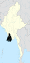
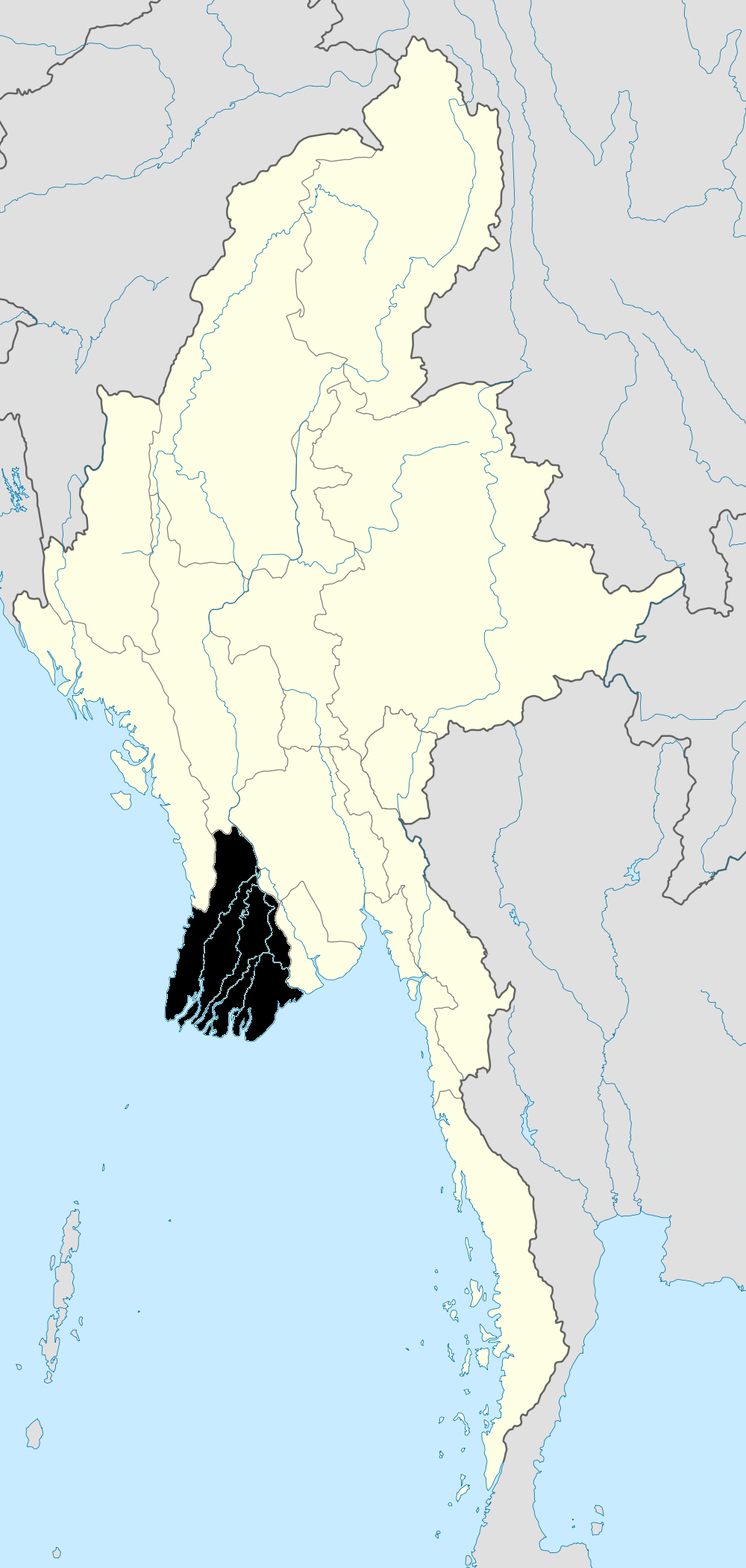
Region Ayeyarwady Region District Maubin Capital Danubyu Time zone MST (UTC+6:30) Danuphyu Township (Burmese: ဓနုဖြူမြို့နယ်) is a township of Maubin District in the Ayeyarwady Region of Burma (Myanmar). It consists of 1 city, 16 wards, 63 village groups and 450 villages. The capital is Danubyu, split into 16 wards.
External links
- "Ayeyarwady Division: Danuphyu Township" map, 2008, Myanmar Information Management Unit (MIMU)
 Danubyu Township of the Ayeyarwady Region
Capital: Danubyu Ada • Ainggyi • Aingzauk • Akyaw • Alezu • Byinbwe • Chaungzauk • Daikhlya • Danubyu • Daunggyi • Duya • Hnegyo • Hponzo • Ingala • Ingwe • Kanizu • Kanwe • Kanyin • Kanyingauk • Kanyingon • Kasunkwin • Kawche • Kawkat • Kondan Taung • Kyagaung • Kyagyaung • Kyakatkwin • Kyaungzu (17°26'0"N 95°25'0"E) • Kyaungzu (17°20'0"N 95°30'0"E) • Kyaungzu (17°18'0"N 95°23'0"E) • Kyazan • Kyidawgyi • Kyongyaik • Kyontanaw Sabyuzu • Kyontani • Kyungon • Kywetalin • Laman • Le-eingon • Letpanzin • Letswechaung • Mabon • Madaw • Mahathagyi • Mansetku • Mayangale • Mayingon • Medon • Mezalidaw • Migyaung-u • Minin • Mogok • Mokhayan • Mwelon • Nandawgon • Natkon • Natmaw • Neikban • Nemaneik • Ngapyinchaung • Ningya • Nyaunggon • Nyaunggyaung • Okpogyaung • Onbin • Ondaw • Ongon • Padaukkon • Paingsunnan • Pandigon • Paukkon • Pauktangale • Pauktangyi • Paungdesu • Pazunchaung • Petalu • Pettan • Pongyiluzu • Pyagadatkyi • Pyindaunggwin • Pyingatha • Pyinmagon (17°28'0"N 95°27'0"E) • Pyinmagon (17°13'0"N 95°39'0"E) • Sabyuzu • Sagagyi • Sangin • Seikkyi • Seinwaing • Settu • Shage • Shangon • Shwebangon • Singaung (17°31'0"N 95°29'0"E) • Singaung (17°27'0"N 95°24'0"E) • Sinlangale • Sinlu • Suttaya • Tada-u • Tago • Tagundaing • Talokkon (17°34'0"N 95°28'0"E) • Talokkon (17°31'0"N 95°18'0"E) • Tamya • Tamyakyun • Taungbotaya • Tawgyi • Tazingon • Thabawtha • Thabyegon • Thadikwin • Thanukalaw • Thayagon • Thayet-aing • Thebyu (17°31'0"N 95°31'0"E) • Thebyu (17°28'0"N 95°18'0"E) • Thegon • Thetkegon • Thimathi • Thinganbin • Tigwe • Tinngokzu • Udo (17°33'0"N 95°24'0"E) • Udo (17°19'0"N 95°33'0"E) • Wadaw • Wathala • Yebauk • Yedwingon • Yele • Yenauk • Yogyi • Yonchaung • Ywagale • Zayatseik • Zibinyo • Zidawgon • Zigon • Zwedaw • Zwekadein
Ayeyarwady Region Pathein District 
Hinthada District Hinthada Township · Zalun Township · Laymyethna Township · Myanaung Township · Kyangin Township · Ingapu TownshipMyaungmya District Ma-ubin District Pyapon District Labutta District Main cities and towns Categories:- Townships of Ayeyarwady Region
- Ayeyarwady Region geography stubs
Wikimedia Foundation. 2010.