Myaungmya District

Myaungmya District

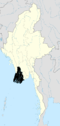
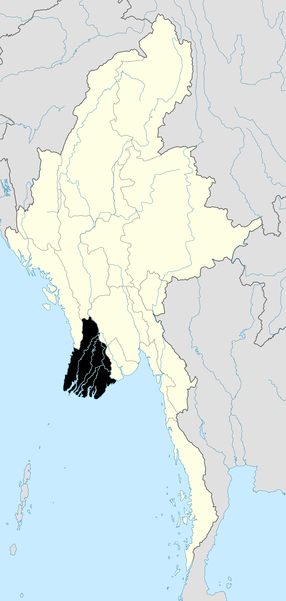
Myaungmya District (Burmese: မြောင်းမြခရိုင်) is a district of the Ayeyarwady Division in south western Myanmar. It consists 5 cities. They are Myaungmya.

Myaungmya district was formed in 1893 out of a portion of Bassein district, and reconstituted until 1903. It has an area of 2,663 square miles (6,900 km2) and a population of 280,000 and density of 104 inhabitants to the square mile. The district is a deltaic tract, bordering south on the sea and traversed by many tidal creeks. Rice cultivation and fishing occupy practically all the inhabitants of the district.

The district contains three townships: Myaungmya Township, Einme Township, and Wakema Township. In the Townships, there are 50 wards, 489 village groups and 2557 villages.

Coordinates: 16°30′N 95°00′E / 16.5°N 95°E / 16.5; 95


Wikimedia Foundation. 2010.

Игры ⚽ Поможем сделать НИР

Look at other dictionaries:

  • Myaungmya Township — မြောင်းမြမြို့နယ်   Township   Coordinates …   Wikipedia

  • Myaungmya — မြောင်းမြမြို့ …   Wikipedia

  • Myaungmya — မြောင်းမြမြို့ Administration Pays …   Wikipédia en Français

  • Ma-ubin District — Maubin District (Burmese: မအူပင် ခရိုင်, pronounced [məʔùbɪ̀ɴ kʰəjàiɴ]) is a district of the Ayeyarwady Division in south western Myanmar. It contains 4 cities: Maubin, Pantanaw, Nyaungdon, and Danubyu. Townships The district contains the… …   Wikipedia

  • Districts of Burma — Burma s states and regions are divided into 67 districts (Burmese: ခရိုင်; Burmese pronunciation: [kʰəjàiɴ]), which in turn are subdivided into townships then towns, wards and villages. Contents 1 List of districts by state or region …   Wikipedia

  • Mawlamyinegyun Township — မော်လမြိုင်ကျွန်းမြို့နယ်   Township   Country …   Wikipedia

  • Mawlamyinegyun — မော်လမြိုင်ကျွန်းမြို့ Moulmeingyun Nickname(s): Mawgyun …   Wikipedia

  • Ayeyarwady Division — Infobox Burmesestatedivision englishname = Ayeyarwady Division (Irrawaddy Division) burmesename = ဧရာဝတီတိုင်း transcription = ei:rawati tuing: capital = Pathein region = Lower area = 35,138 population = 6,663,000 locatormapfile =… …   Wikipedia

  • Division d'Ayeyarwady — 16°50′N 95°10′E / 16.833, 95.167 …   Wikipédia en Français

  • Région d'Ayeyarwady — 16°50′N 95°10′E / 16.833, 95.167 Région d …   Wikipédia en Français

Share the article and excerpts

Direct link
Do a right-click on the link above
and select “Copy Link”