- Ma-ubin Township
-
Ma-ubin Township
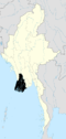
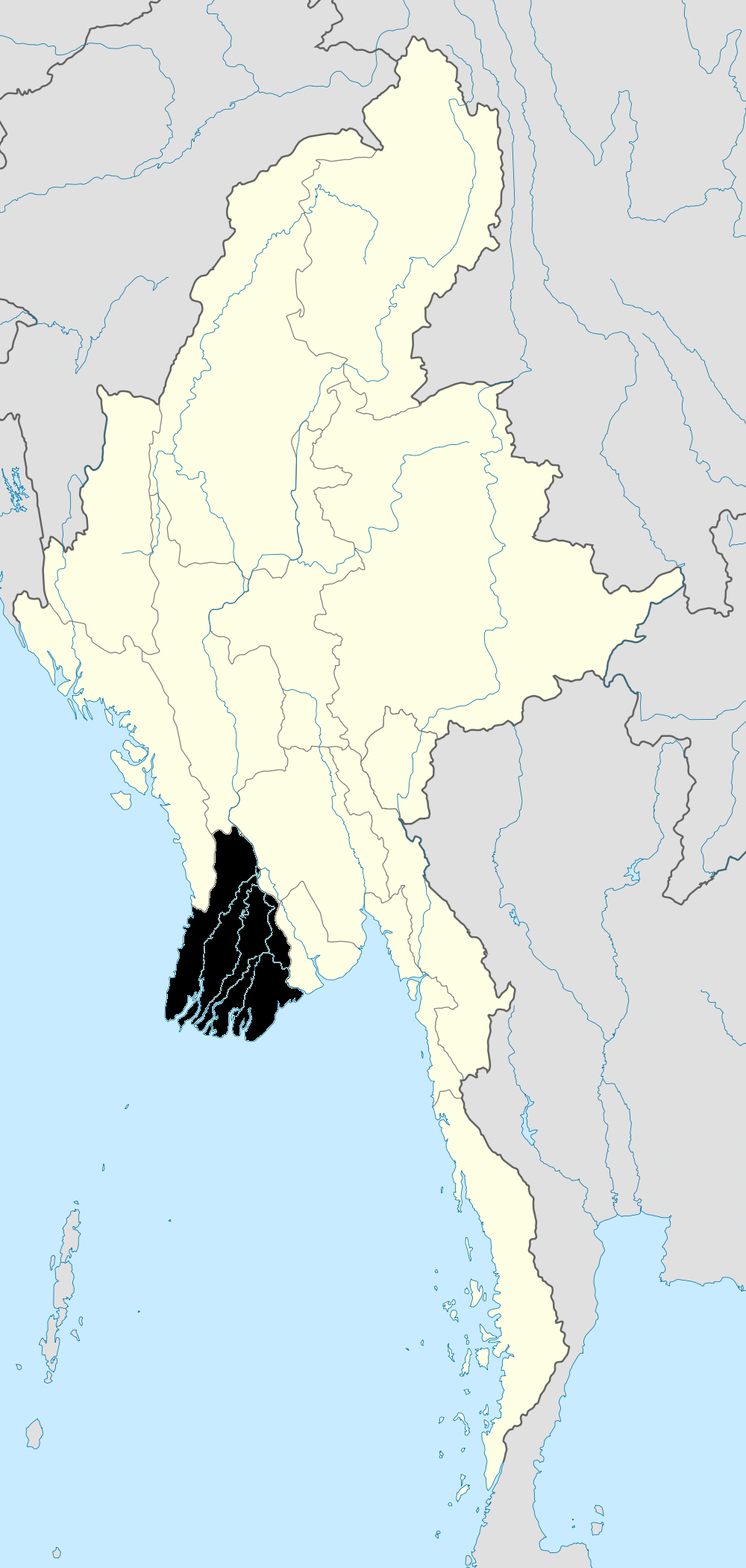
မအူပင်မြို့နယ်— Township — Location in Burma
 Ma-ubin Township
Coordinates: 16°44′N 95°39′E / 16.733°N 95.65°ECoordinates: 16°44′N 95°39′E / 16.733°N 95.65°E Country  Burma
BurmaRegion Ayeyarwady Region District Ma-ubin District Administrative seat Maubin Population (December 2008)[1] 309,921 Time zone MST (UTC+6:30) Maubin Township (Burmese: မအူပင် မြို့နယ်, pronounced [məʔùbɪ̀ɴ mjo̯nɛ̀]) is a township of Maubin District in the Ayeyarwady Region of Burma (Myanmar).
Communities
There are 76 village tracts comprising 470 villages in Maubin Township.[1]
Notes
- ^ a b "Profile Maubin Township" Myanmar Information Management Unit (MIMU), March 2009
External links
- "Maubin Township, Village Tracts" map created August 2010, Myanmar Information Management Unit (MIMU)
- "Ma-Ubin Google Satellite Map" Maplandia World Gazetteer
Capital:Achaw • Aheik • Alan • Alanwa • Alegyaung • Aukton • Bilinsu • Byaingse • Chaukywa • Hngettawyo • Htanbingwe • Inte-apyinywa • Inte-atwinywa • Kalādan • Kanaung • Kanzugyi • Kapingyi • Khamon • Khanaung • Kondangyi • Kunsu • Kyaiklatkyiwa • Kyanginsu • Kyichaung • Kyonsha • Kyonsok • Kyontagyi • Kywedon • Latagyi • Letkokpin • Letpangon • Maubin • Mayangyi • Mogaungsu • Onbinzu • Paulang • Pantabut • Paukkon • Paukkongyi • Payathonzu • Pegon • Peingyaung • Saingkalaw • Seikkyi • Seikkyigon • Seiktha • Shwedaungmaw • Sibingon-payagon • Singaung • Sitchaung • Taloklat • Tatapaw • Tawtalok • Teinngu • Thabyegon (16°42'0"N 95°46'0"E) • Thabyegon (16°40'0"N 95°46'0"E) • Thaikkon • Thongwa • Yegyaw • Yelegale • Yelegyi (16°50'0"N 95°35'0"E) • Yelegyi (16°43'0"N 95°27'0"E) • Yelewa
Ayeyarwady Region Pathein District 
Hinthada District Hinthada Township · Zalun Township · Laymyethna Township · Myanaung Township · Kyangin Township · Ingapu TownshipMyaungmya District Ma-ubin District Pyapon District Labutta District Main cities and towns Categories:- Townships of Ayeyarwady Region
- Ayeyarwady Region geography stubs

Wikimedia Foundation. 2010.