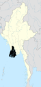
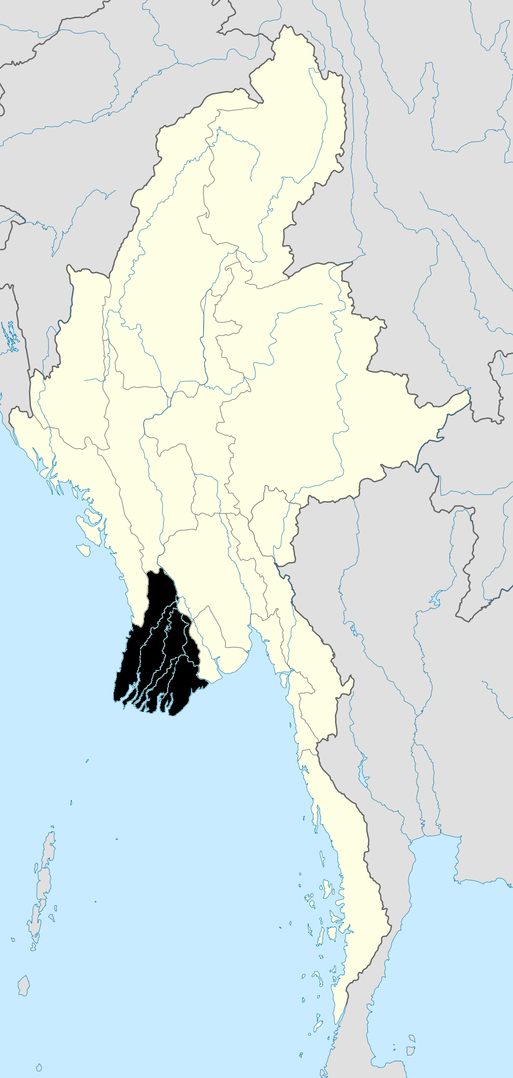
- Ma-ubin District
-
Maubin District (Burmese: မအူပင် ခရိုင်, pronounced [məʔùbɪ̀ɴ kʰəjàiɴ]) is a district of the Ayeyarwady Division in south western Myanmar. It contains 4 cities: Maubin, Pantanaw, Nyaungdon, and Danubyu.
Townships
The district contains the following townships:
- Maubin Township
- Pantanaw Township
- Nyaungdon Township
- Danuphyu Township
The townships collectively consist of 39 wards, 235 village groups and 1642 villages.
Geographical Facts of Maubin District Maubin district is plain land and rich in streams. Maubin Township is 1362 feet high above sea level. Among the population of Maubin district, the majority of people are Myanmar and Kayin nationals. The area of Maubin district is 1651.49 square miles and 1056952 areas.In the eastern part of Maubin district, there are Yangon district, Southern district and northern district, in the western part, there Paterin district, and Myaunmya district, in the southern part, there are Phyarpone district and in the northern part, there are Hinthada district that link with territory.
Significant facts of the Maubin District Commander-in-chief Maharbandoola’s cemetery and Monument statue is situated in Maubin district, Danuphyu Township. Danuphyu fort which was famous in the first Anglo Myanmar war was destroyed by the flood.
The project bridges of Maubin District
There are four project bridges in Maubin district. They are Maubin Bridge, Khattiya Bridge, Pantanaw river- crossing bridge and Bo Myat Htun Bridge. Maubin bridge
Maubin Bridge is situated between Taloatlatt east villages and Taloatlatt west village in Maubin Township. The starting date of project is on 1st March 1994. The foundation date is on 4th April 1994. It was opened on 10th February 1998. It maintains 60 tons capacity. It is reinforced concrete bridge.Khattiya bridge
Khattiya Bridge is located between Latyargyi village, Maubin Township and Bokanbay village, Tuntay Towship. It's length is 12 feet and 4 inches. It is reinforced concrete bale iron frame bridge. It maintains 13 tons capacity. It was opened on 24th July 1997.Pantanaw river- crossing bridge
Pantanaw river-crosssing bridge is situated in Bayintnaung street river bank, Pantanaw Township. It is Concrete bridge. It's length is 420 feet. It maintains 60 ton.
Bomyathtun bridgeBoMyatHtun Bridge is situated is eastern bank of Ayeyarwaddy division. It comes from Naungton Township, Taungtan village through Ayeyarwaddy river, to western bank Ayeyarwaddy division, naungton Township, near dKyeinpinsae village.The upper part of the bridge is iron frame bridge and the lower part is reinforced concrete pill. It's length is 2604.7 meters.References
"Maubin District". Technological University (Maubin). http://www.most.gov.mm/maubintu/index.php?option=com_content&task=view&id=23&Itemid=38. Retrieved 2009-05-30.
Ayeyarwady Region Pathein District 
Hinthada District Hinthada Township · Zalun Township · Laymyethna Township · Myanaung Township · Kyangin Township · Ingapu TownshipMyaungmya District Ma-ubin District Pyapon District Labutta District Main cities and towns Categories:- Districts of Burma
- Ayeyarwady Region
- Ayeyarwady Region geography stubs
Wikimedia Foundation. 2010.