- Quinton Township, New Jersey
Infobox Settlement
official_name = Quinton Township, New Jersey
settlement_type = Township
nickname =
motto =
imagesize =
image_caption =
image_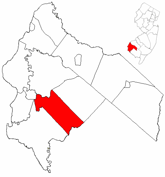
mapsize = 250x200px
map_caption = Quinton Township highlighted in Salem County. Inset
mapsize1 =
map_caption1 =subdivision_type = Country
subdivision_name =United States
subdivision_type1 = State
subdivision_name1 =New Jersey
subdivision_type2 = County
subdivision_name2 = Salem
government_footnotes =
government_type =
leader_title =
leader_name =
leader_title1 =
leader_name1 =
established_title =
established_date =unit_pref = Imperial
area_footnotes =
area_magnitude =
area_total_km2 = 63.6
area_land_km2 = 62.6
area_water_km2 = 1.0
area_total_sq_mi = 24.5
area_land_sq_mi = 24.2
area_water_sq_mi = 0.4population_as_of = 2006
population_footnotes =
population_total = 2864
population_density_km2 = 44.5
population_density_sq_mi = 115.3timezone = Eastern (EST)
utc_offset = -5
timezone_DST = EDT
utc_offset_DST = -4
elevation_footnotes = [Gnis|882130|Township of Quinton,Geographic Names Information System , accessedJanuary 4 ,2008 .]
elevation_m = 6
elevation_ft = 20
latd = 39 |latm = 31 |lats = 45 |latNS = N
longd = 75 |longm = 23 |longs = 30 |longEW = Wpostal_code_type =
ZIP code
postal_code = 08072
area_code = 856
blank_name = FIPS code
blank_info = 34-61470GR|2 [ [http://mcdc2.missouri.edu/webrepts/commoncodes/ccc_nj.html A Cure for the Common Codes: New Jersey] , Missouri Census Data Center. AccessedJuly 14 ,2008 .]
blank1_name = GNIS feature ID
blank1_info = 0882130GR|3
website =
footnotes =Quinton Township is a Township in Salem County,
New Jersey ,United States . As of theUnited States 2000 Census , the township population was 2,786.Quinton was formally incorporated as a township by an Act of the
New Jersey Legislature onFebruary 18 ,1873 , from portions of Upper Alloways Creek Township (now Alloway Township)."The Story of New Jersey's Civil Boundaries: 1606-1968", John P. Snyder, Bureau of Geology and Topography; Trenton, New Jersey; 1969. p. 217.]Geography
According to the
United States Census Bureau , the township has a total area of 24.5square mile s (63.6km² ), of which, 24.2 square miles (62.6 km²) of it is land and 0.4 square miles (1.0 km²) of it (1.51%) is water.Quinton Township borders Lower Alloways Creek Township, Salem, Mannington Township, and Alloway Township. Quinton Township also borders Cumberland County.
Demographics
USCensusPop
1880=1390
1890=1307
1900=1280
1910=1091
1920=956
1930=1166
1940=1313
1950=1821
1960=2440
1970=2567
1980=2887
1990=2511
2000=2786
estimate=2864
estyear=2006
estref= [http://factfinder.census.gov/servlet/SAFFPopulation?_event=Search&geo_id=06000US3403343200&_geoContext=01000US%7C04000US34%7C05000US34033%7C06000US3403343200&_street=&_county=quinton&_cityTown=quinton&_state=04000US34&_zip=&_lang=en&_sse=on&ActiveGeoDiv=geoSelect&_useEV=&pctxt=fph&pgsl=060&_submenuId=population_0&ds_name=null&_ci_nbr=null&qr_name=null®=null%3Anull&_keyword=&_industry= Census data for Quinton Township] ,United States Census Bureau . AccessedJanuary 27 ,2008 .]
footnote=Population 1930 - 1990 [ [http://factfinder.census.gov/servlet/SAFFPopulation?_event=Search&geo_id=16000US3441370&_geoContext=01000US%7C04000US34%7C16000US3441370&_street=&_county=margate+city&_cityTown=margate+city&_state=04000US34&_zip=&_lang=en&_sse=on&ActiveGeoDiv=geoSelect&_useEV=&pctxt=fph&pgsl=160&_submenuId=population_0&ds_name=null&_ci_nbr=null&qr_name=null®=null%3Anull&_keyword=&_industry= New Jersey Resident Population by Municipality: 1930 - 1990] , Workforce New Jersey Public Information Network. AccessedMarch 1 ,2007 .] [cite web
url=http://www.census.gov/prod/www/abs/decennial/index.htm
title=U.S. Census Historical Data 1790-2000
accessdate=2007-03-16] As of thecensus GR|2 of 2000, there were 2,786 people, 1,074 households, and 778 families residing in the township. Thepopulation density was 115.3 people per square mile (44.5/km²). There were 1,133 housing units at an average density of 46.9/sq mi (18.1/km²). The racial makeup of the township was 82.05% White, 14.47% African American, 1.08% Native American, 0.32% Asian, 0.72% from other races, and 1.36% from two or more races. Hispanic or Latino of any race were 1.51% of the population.There were 1,074 households out of which 29.3% had children under the age of 18 living with them, 57.9% were married couples living together, 10.1% had a female householder with no husband present, and 27.5% were non-families. 22.7% of all households were made up of individuals and 10.4% had someone living alone who was 65 years of age or older. The average household size was 2.56 and the average family size was 3.02.
In the township the population was spread out with 23.6% under the age of 18, 6.8% from 18 to 24, 29.9% from 25 to 44, 23.9% from 45 to 64, and 15.8% who were 65 years of age or older. The median age was 39 years. For every 100 females there were 99.7 males. For every 100 females age 18 and over, there were 99.3 males.
The median income for a household in the township was $41,193, and the median income for a family was $48,272. Males had a median income of $32,394 versus $22,198 for females. The
per capita income for the township was $18,921. About 7.8% of families and 9.3% of the population were below thepoverty line , including 10.5% of those under age 18 and 4.4% of those age 65 or over.Government
Local government
Quinton Township is governed under the Township form of government with a three-member Township Committee. The Township Committee is elected directly by the voters in partisan elections to serve three-year terms of office on a staggered basis, with one seat coming up for election each year."2005 New Jersey Legislative District Data Book",
Rutgers University Edward J. Bloustein School of Planning and Public Policy , April 2005, p. 19.] At an annual reorganization meeting, the Township Committee selects one of its members to serve as Mayor.Members of the Quinton Township Committee are Mayor Joseph A. Donelson, Albert W. Fisher III, and Raymond Owens. [ [http://www.salemcountynj.gov/fedstatelocal/quinton.html Quinton Township page on Salem County website] , accessed
September 22 ,2006 .]Federal, state and county representation
Quinton Township is in the Second Congressional District and is part of New Jersey's 3rd Legislative District. [ [http://www.lwvnj.org/pubs/CG06.pdf 2006 New Jersey Citizen's Guide to Government] , New Jersey
League of Women Voters , p. 63, accessedAugust 30 ,2006 .]Education
The
Quinton Township School District serves public school students in kindergarten through eighth grade at Quinton Township Elementary School.For grades 9-12, public school students attend Salem High School in Salem, as part of a
sending/receiving relationship with Salem City School District. [ [http://education.state.nj.us/rc/rc06/narrative/33/4630/33-4630-050.html Salem High School 2006 School Report Card] ,New Jersey Department of Education . AccessedJanuary 27 ,2008 . "Salem High School is one of the oldest comprehensive high schools in the State of New Jersey. Our high school is proud to serve its students in grades 9-12 from Salem City, Elsinboro, Lower Alloways Creek, Mannington, and Quinton."]References
External links
* [http://www.salemcountynj.gov/fedstatelocal/quinton.html Quinton Township page on Salem County website]
* [http://quinton.nj.schoolwebpages.com/education/school/school.php?sectionid=2 Quinton Township Elementary School]
*NJReportCard|33|4280|0|Quinton Township School District
* [http://nces.ed.gov/ccd/schoolsearch/school_list.asp?Search=1&DistrictID=3413500 Data for the Quinton Township School District] ,National Center for Education Statistics

Wikimedia Foundation. 2010.