- Elsinboro Township, New Jersey
Infobox Settlement
official_name = Elsinboro Township, New Jersey
settlement_type = Township
nickname =
motto =
imagesize =
image_caption =
image_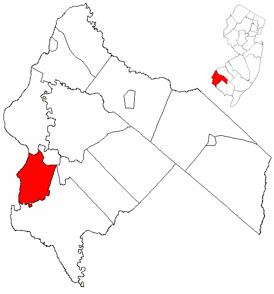
mapsize = 250x200px
map_caption = Elsinboro Township highlighted in Salem County. Inset
mapsize1 =
map_caption1 =subdivision_type = Country
subdivision_name =United States
subdivision_type1 = State
subdivision_name1 =New Jersey
subdivision_type2 = County
subdivision_name2 = Salem
government_footnotes =
government_type =Township (New Jersey)
leader_title =
leader_name =
leader_title1 =
leader_name1 =
established_title =
established_date =unit_pref = Imperial
area_footnotes =
area_magnitude =
area_total_km2 = 34.5
area_land_km2 = 31.8
area_water_km2 = 2.7
area_total_sq_mi = 13.3
area_land_sq_mi = 12.3
area_water_sq_mi = 1.1population_as_of = 2000
population_footnotes =
population_total = 1092
population_density_km2 = 34.4
population_density_sq_mi = 89.0timezone = Eastern (EST)
utc_offset = -5
timezone_DST = EDT
utc_offset_DST = -4
elevation_footnotes =
elevation_m = 3
elevation_ft = 10
latd = 39 |latm = 32 |lats = 17 |latNS = N
longd = 75 |longm = 29 |longs = 42 |longEW = Wpostal_code_type =
postal_code =
area_code =
blank_name = FIPS code
blank_info = 34-21330GR|2 [ [http://mcdc2.missouri.edu/webrepts/commoncodes/ccc_nj.html A Cure for the Common Codes: New Jersey] , Missouri Census Data Center. AccessedJuly 14 ,2008 .]
blank1_name = GNIS feature ID
blank1_info = 0882064GR|3
website =
footnotes =Elsinboro is a Township in Salem County,
New Jersey ,United States . As of theUnited States 2000 Census , the township population was 1,092.Geography
According to the
United States Census Bureau , the township has a total area of 13.3square mile s (34.5km² ), of which, 12.3 square miles (31.8 km²) of it is land and 1.1 square miles (2.7 km²) of it (7.95%) is water. TheSalem River flows along a portion of the township's northern boundary, andAlloway Creek flows along its southern boundary. [DeLorme (2005). "New Jersey Atlas & Gazetteer". Yarmouth, Maine: DeLorme. ISBN 0-89933-324-9.]Elsinboro Township borders Pennsville Township, Salem, and Lower Alloways Creek Township. Elsinboro also borders the
Delaware Bay .Demographics
USCensusPop
1850=655
1860=749
1870=700
1880=570
1890=524
1900=445
1910=419
1920=374
1880=570
1930=405
1940=663
1950=674
1960=1220
1970=1204
1980=1290
1990=1170
2000=1092
estimate= 1073
estyear=2006
estref= [http://factfinder.census.gov/servlet/SAFFPopulation?_event=Search&geo_id=06000US3403905320&_geoContext=01000US%7C04000US34%7C05000US34039%7C06000US3403905320&_street=&_county=elsinboro&_cityTown=elsinboro&_state=04000US34&_zip=&_lang=en&_sse=on&ActiveGeoDiv=geoSelect&_useEV=&pctxt=fph&pgsl=060&_submenuId=population_0&ds_name=null&_ci_nbr=null&qr_name=null®=null%3Anull&_keyword=&_industry= Census data for Elsinboro township] ,United States Census Bureau . AccessedAugust 13 ,2007 .]
footnote=Population 1930 - 1990. [ [http://www.wnjpin.net/OneStopCareerCenter/LaborMarketInformation/lmi01/poptrd6.htm New Jersey Resident Population by Municipality: 1930 - 1990] , Workforce New Jersey Public Information Network. AccessedMarch 1 ,2007 .] [cite web
url=http://www.census.gov/prod/www/abs/decennial/index.htm
title=U.S. Census Historical Data 1790-2000
accessdate=2007-03-16] [Data for 1790-1840 not available] As of thecensus GR|2 of 2000, there were 1,092 people, 468 households, and 324 families residing in the township. Thepopulation density was 89.0 people per square mile (34.4/km²). There were 530 housing units at an average density of 43.2/sq mi (16.7/km²). The racial makeup of the township was 95.05% White, 3.57% African American, 0.18% Native American, 0.27% from other races, and 0.92% from two or more races. Hispanic or Latino of any race were 0.64% of the population.There were 468 households out of which 24.6% had children under the age of 18 living with them, 57.7% were married couples living together, 8.1% had a female householder with no husband present, and 30.6% were non-families. 26.3% of all households were made up of individuals and 13.2% had someone living alone who was 65 years of age or older. The average household size was 2.33 and the average family size was 2.80.
In the township the population was spread out with 21.2% under the age of 18, 5.0% from 18 to 24, 25.8% from 25 to 44, 28.2% from 45 to 64, and 19.8% who were 65 years of age or older. The median age was 44 years. For every 100 females there were 90.2 males. For every 100 females age 18 and over, there were 91.8 males.
The median income for a household in the township was $50,972, and the median income for a family was $59,688. Males had a median income of $42,232 versus $30,357 for females. The
per capita income for the township was $25,415. About 2.1% of families and 1.7% of the population were below thepoverty line , including 0.9% of those under age 18 and 2.3% of those age 65 or over.Government
Local government
Elsinboro Township is governed under the Township form of government with a three-member Township Committee. The Township Committee is elected directly by the voters in partisan elections to serve three-year terms of office on a staggered basis, with one seat coming up for election each year."2005 New Jersey Legislative District Data Book",
Rutgers University Edward J. Bloustein School of Planning and Public Policy , April 2005, p. 19.] At an annual reorganization meeting, the Township Committee selects one of its members to serve as Mayor.Members of the Elsinboro Township Committee are
Mayor John J. Elk, William McGowan and Deputy Mayor Sean Elwell. [ [http://www.salemcountynj.gov/fedstatelocal/elsinboro/elsinboro.html Elsinboro Township directory] , Salem County,New Jersey . AccessedOctober 8 ,2007 . Still shows Jeff Stepler (instead of Sean Elwell) as of date accessed.]Federal, state and county representation
Elsinboro Township is in the Second Congressional District and is part of New Jersey's 3rd Legislative District. [ [http://www.lwvnj.org/pubs/CG06.pdf 2006 New Jersey Citizen's Guide to Government] , New Jersey
League of Women Voters , p. 57. AccessedAugust 30 ,2006 ]Education
The Elsinboro Township School serves 116 public school students in kindergarten through eighth grade.
For grades 9-12, public school students attend Salem High School in Salem City, as part of a
sending/receiving relationship with the Salem City School District. [ [http://education.state.nj.us/rc/rc06/narrative/33/4630/33-4630-050.html Salem High School 2006 School Report Card] ,New Jersey Department of Education . AccessedJanuary 27 ,2008 . "Salem High School is one of the oldest comprehensive high schools in the State of New Jersey. Our high school is proud to serve its students in grades 9-12 from Salem City, Elsinboro, Lower Alloways Creek, Mannington, and Quinton."]Notable residents
Notable current and former residents of Elsinboro Township include:
*George Hires (1835-1911), representedNew Jersey's 1st congressional district in theUnited States House of Representatives from 1885 to 1889. [ [http://bioguide.congress.gov/scripts/biodisplay.pl?index=H000642 George Hires profile] ,Biographical Directory of the United States Congress . AccessedAugust 13 ,2007 .]References
External links
* [http://www.elsinboroschool.org/ Elsinboro Township School]
*NJReportCard|33|1350|0|Elsinboro Township School
* [http://nces.ed.gov/ccd/schoolsearch/school_list.asp?Search=1&DistrictID=3404680 Data for the Elsinboro Township School] ,National Center for Education Statistics

Wikimedia Foundation. 2010.