- Cono Township, Buchanan County, Iowa
-
Cono Township, Buchanan County — Township — 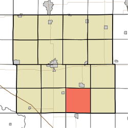
Coordinates: 42°20′37″N 091°46′31″W / 42.34361°N 91.77528°WCoordinates: 42°20′37″N 091°46′31″W / 42.34361°N 91.77528°W Country  United States
State  Iowa
IowaCounty Buchanan Area – Total 35.97 sq mi (93.17 km2) – Land 35.49 sq mi (91.91 km2) – Water 0.49 sq mi (1.26 km2) Elevation[1] 892 ft (272 m) Population (2000) – Total 420 – Density 11.8/sq mi (4.6/km2) FIPS code 19-90816[2] GNIS feature ID 0467652 Cono Township is one of sixteen townships in Buchanan County, Iowa, USA. As of the 2000 census, its population was 420.
Geography
Cono Township covers an area of 35.97 square miles (93.2 km2) and contains no incorporated settlements.
References
- ^ "US Board on Geographic Names". United States Geological Survey. 2007-10-25. http://geonames.usgs.gov. Retrieved 2008-01-31.
- ^ "American FactFinder". United States Census Bureau. http://factfinder.census.gov. Retrieved 2008-01-31.
External links
Municipalities and communities of Buchanan County, Iowa Cities 
Townships Unincorporated
communitiesBryantsburg | Doris | Littleton | Monti | Otterville | Shady Grove
Footnotes ‡This populated place also has portions in an adjacent county or counties
Categories:- Townships in Buchanan County, Iowa
- Iowa geography stubs

Wikimedia Foundation. 2010.