- Clarkson railway station, Perth
-
Clarkson Interchange 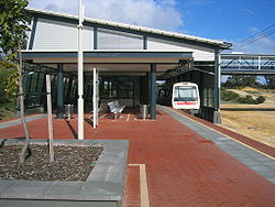
Joondalup Line Station code JCN Street Ocean Keys Boulevard Suburb Clarkson Fare zone 4 Distance from Perth Station 32 km (19.9 mi) Stopping patterns All, C Number of platforms 2 Platform architecture 1 island Station structure Closed Station Access by Overhead bridge, bus transfer Transit guard booth Yes Train transfer No Bus transfer Yes Total number of bus stands 6 Total number of bus routes 9 Park 'n' Ride Yes Lock 'n' Ride No, but Pay 'n' Display Lifts 1 Escalators 1 up, 1 down Add Value Machines Yes Public telephones Yes Public toilets Yes  B-Series train at Clarkson
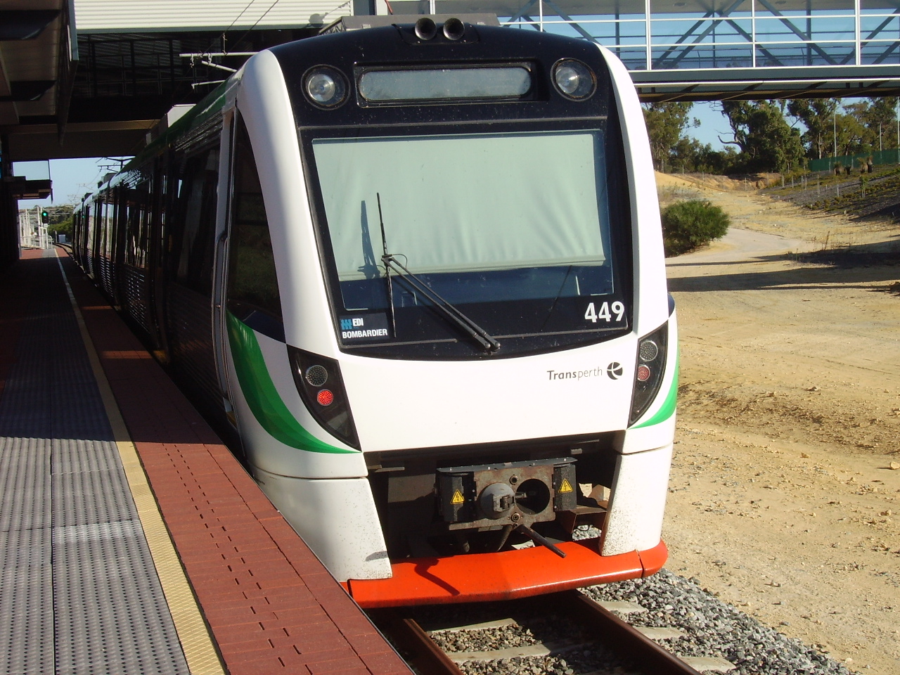
Coordinates: 31°41′27″S 115°44′17″E / 31.690782°S 115.737963°E
Clarkson is a Transperth bus and train station located 32 kilometres (20 mi) north of Perth, Western Australia, in the suburb of Clarkson. It presently serves as the terminus for the Joondalup Line. It is located 2.2 kilometres (1.4 mi) east of Ocean Keys Shopping Centre.
Built in 2004 and opened on 4 October that year, Clarkson station was the first rail extension in Perth in over ten years. This was also the first part of the planned railway extension to the suburb of Butler, 7 kilometres north of Clarkson.[citation needed]
Platforms
Platforms currently in use are as follows:
Stop No. Platform Line Stopping Pattern Destination Notes [1450] Clarkson Station platforms 99891 1 Clarkson All stations, C Perth underground 99892 2 Clarkson All stations Perth underground Bus routes
Clarkson Station serves as a regional distributor for Transperth bus routes to the outer northern suburbs.
Route Number Destination / Description [21912] Stand 1 481 to Quinns Rocks via Quinns Road [21911] Stand 2 482 to Quinns Rocks via Santa Barbara Parade [21910] Stand 3 - Set down only 904 Rail Replacement Service to Perth [21909] Stand 4 483 to Butler via Merriwa [21908] Stand 5 484 to Butler via Ridgewood 490 to Two Rocks via Marmion Avenue [21907] Stand 6 474 to Joondalup Station via Kinross See also
Clarkson
Zone 4Preceding station Transperth Trains network Following station Zone 4towards EsplanadeJoondalup Line All, CTerminus Transperth Buses Network Central Area Esplanade Busport · Wellington Street (Perth CAT)Northern Area Eastern Area Western Area South Eastern Area Armadale · Cannington · Curtin University · Gosnells · Kelmscott · Maddington · Oats Street · Thornlie · Victoria ParkSouthern Area Bull Creek · Canning Bridge · Cockburn Central · Kwinana · Kwinana Hub · Murdoch · Rockingham (RCTS) · Warnbro · Wellard · Mandurah†Bus stations in italics do not have an accompanying railway station. †: denotes area outside Perth Metropolitan Area Categories:- Railway stations in Perth, Western Australia
- Australian building and structure stubs
- Western Australia rail transport stubs

Wikimedia Foundation. 2010.