- Mont Dolent
-
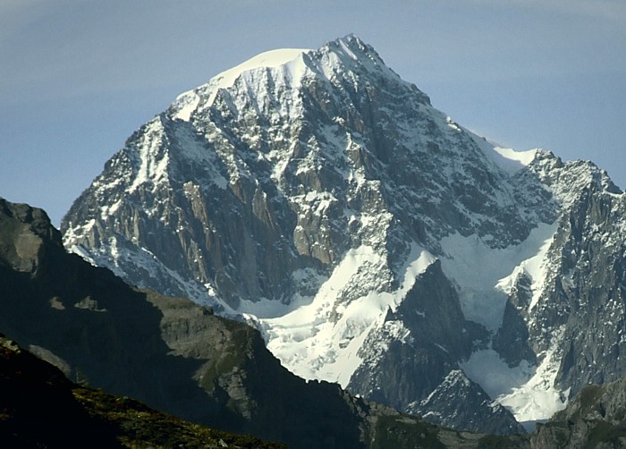
Mont Dolent 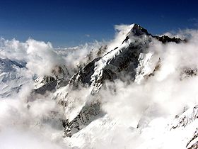
Mont DolentElevation 3,820 m (12,533 ft) Prominence 330 m (1,083 ft) [1] Parent peak Aiguille Verte Location 
 Mont Dolent
 Italy,
  Switzerland
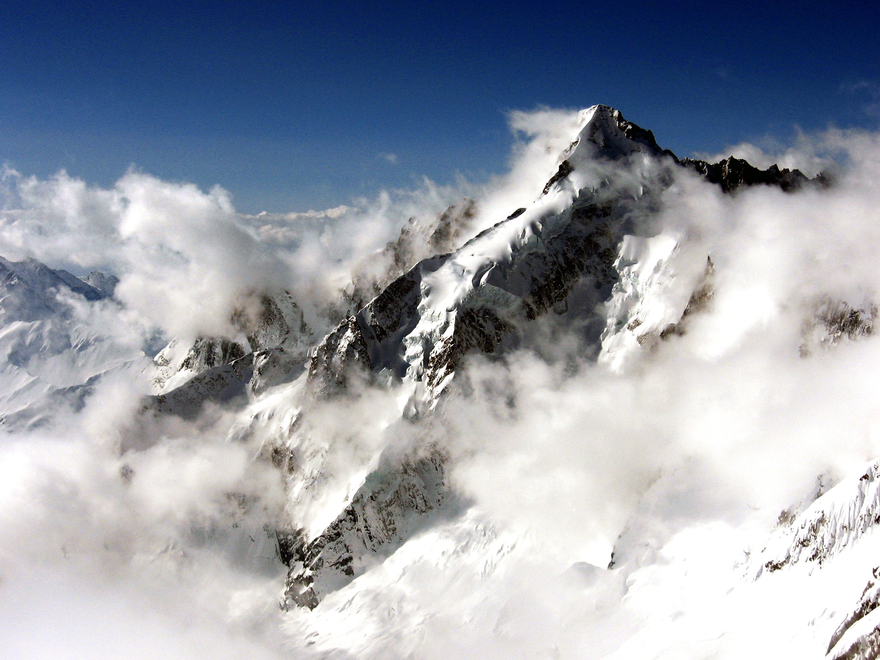
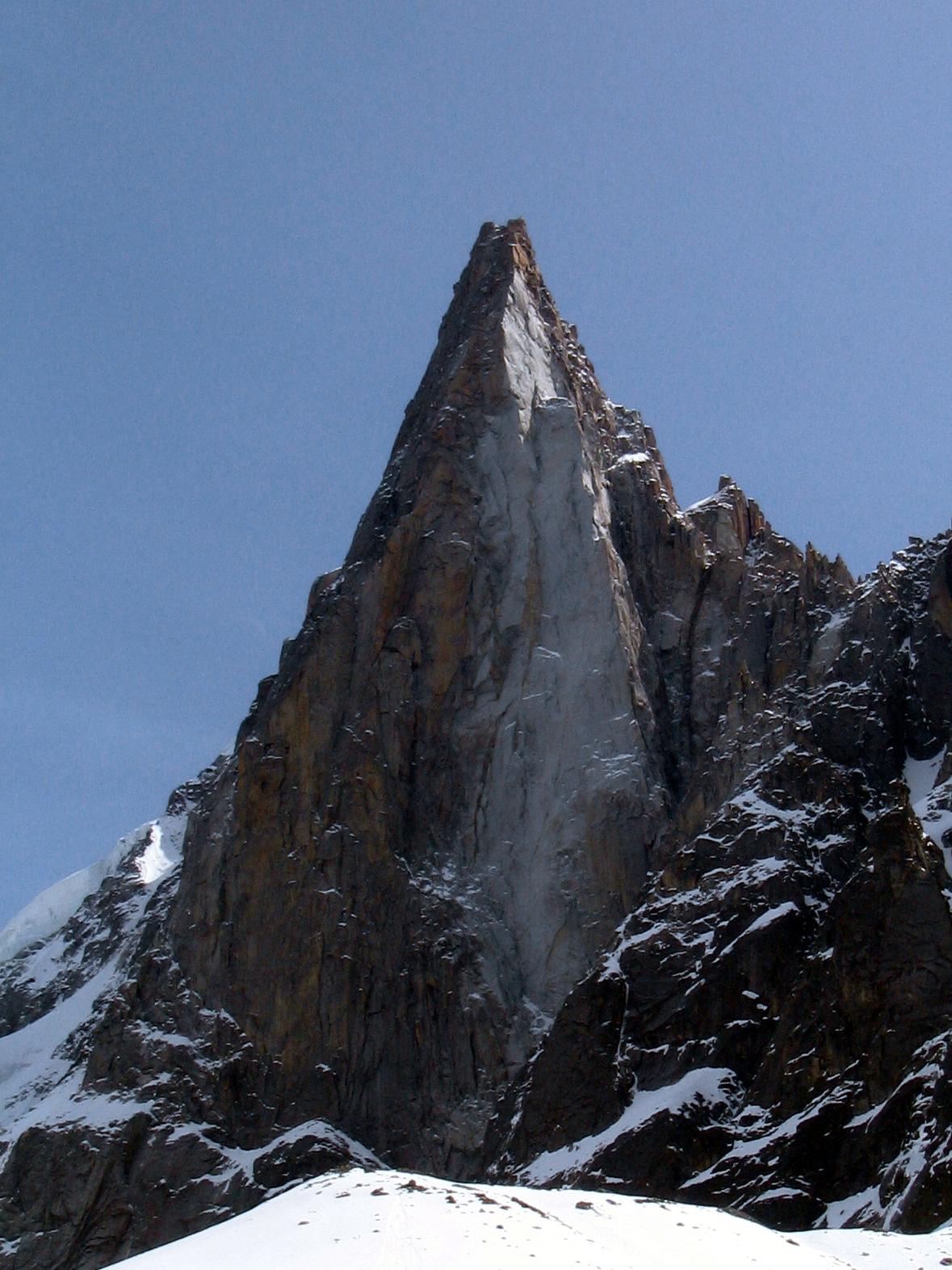
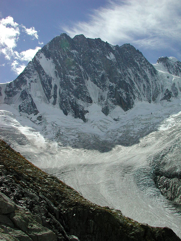
Range Graian Alps Coordinates 45°55′21″N 7°2′46″E / 45.9225°N 7.04611°ECoordinates: 45°55′21″N 7°2′46″E / 45.9225°N 7.04611°E Climbing First ascent 9 July 1864 by A. Reilly, Edward Whymper, Michel Croz, H. Charlet and M. Payot Easiest route South face and south-east ridge (PD) Mont Dolent (3,823 m) is a mountain in the Mont Blanc massif that lies on the border of Italy and Switzerland.
It is generally considered the tripoint between France, Italy and Switzerland, although the point itself lies at 3,749 metres, north-west of the summit of Mont Dolent[2].
The first ascent of the mountain was made on 9 July 1864 by A. Reilly and Edward Whymper with guides Michel Croz, H. Charlet and M. Payot. Whymper described the ascent in Scrambles amongst the Alps:
-
- We occupied the 9th with a scramble up Mont Dolent. This was a miniature ascent. It contained a little of everything. First we went up to the Petit Col Ferret, and had a little grind over shaly banks; then there was a little walk over grass; then a little tramp over a moraine (which, strange to say, gave a pleasant path); then a little zizagging over the snow-covered glacier of Mont Dolent. Then there was a little bergschrund, then a little wall of snow [. . .] The summit itself was little, very small indeed; it was the loveliest little cone of snow that was ever piled up on a mountain-top; so soft, so pure; it seemed a crime to defile it; it was a miniature Jungfrau; a toy summit, you could cover it with a hand.[3]
Huts
- Rifugio Elena – 2,062 m
- Bivacco Fiorio – 2,800 m
- Bivouac du Dolent - la Maye – 2,667 m
- Cabane de l'A Neuve – 2,761 m
- Refuge d'Argentiere – 2,771 m
References
- ^ Swisstopo map
- ^ Portale Cartografico Nazionale
- ^ Edward Whymper, Scrambles amongst the Alps, 6th edition, London: John Murray, 1936, p. 195.
External links
Categories:- Mountains of the Alps
- Alpine Three-thousanders
- Mountains of Italy
- Mountains of Switzerland
- Italy–Switzerland border
- International mountains of Europe
- France–Italy border
- France–Switzerland border
- Border tripoints
-

Wikimedia Foundation. 2010.