- Mont Maudit
-
Mont Maudit 
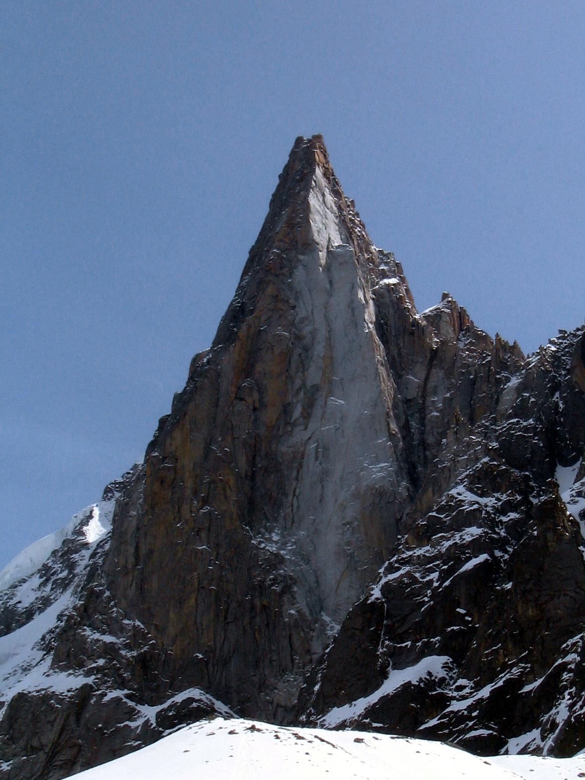
Mont Maudit seen from the northElevation 4,465 m (14,649 ft) Prominence 162 m (531 ft) [1] Location Haute-Savoie,
 Mont Maudit
 France / Courmayeur,
  Italy
ItalyRange Graian Alps Coordinates 45°50′52″N 6°52′33″E / 45.84778°N 6.87583°ECoordinates: 45°50′52″N 6°52′33″E / 45.84778°N 6.87583°E Geology Type Granite Climbing First ascent Henry Seymour Hoare and William Edward Davidson with guides Johann Jaun and Johann von Bergen on 12 September 1878 Easiest route North-east approach to north-west ridge (PD) Mont Maudit (4,465 m) is a mountain in the Mont Blanc massif in France and Italy. Until the end of the 18th century, Mont Blanc and its satellite peaks were collectively known in French as the Montagne Maudite.
The first ascent of Mont Maudit was by a British party comprising Henry Seymour King and the lawyer/diplomat William Edward Davidson with guides Johann Jaun and Johann von Bergen on 12 September 1878. The route they took was via the south ridge, during an ascent of Mont Blanc by the Corridor route.
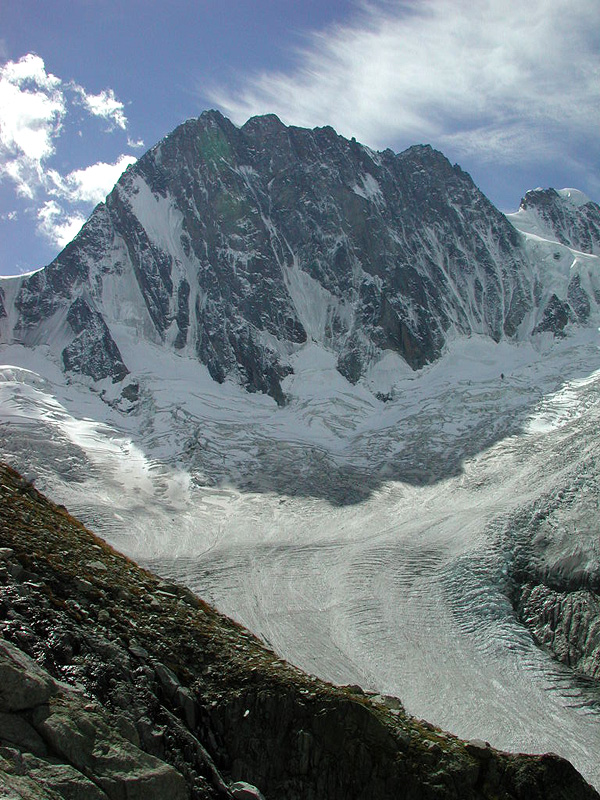
The southern side of the mountain is considerably steeper than the gentle snow slopes of the northern side and features the well-known south-east or Frontier ridge (also known as the Kuffner ridge, D). This route was first climbed by Moriz von Kuffner with guides Alexander Burgener and Josef Furrer from 2–4 July 1887. George Mallory, in a party led by R. L. G. Irving, made the third ascent of the route in 1911. Ascents of the ridge start from the hut on the Col du Trident and take at least seven to eight hours.
The mountain in served by the following huts:
-
- Refuge des Cosmiques (3,613 m, guarded February–October)
- Abri Simond Bivouac (beside the Refuge des Cosmiques and open in winter when the Refuge is closed)
- Rifugio Torino (3,322 m/3,375 m, 2 huts: a lower and older one and an upper, newer hut, connected by a tunnel)
- Bivacco Lucia e Piero Ghiglione (3,690 m, guarded 20 June–20 September, also known as the Trident hut) - now not there; this bivouac hut was removed in the 1990s
- Bivacco Alberico e Brogna (3,679 m, also known as the Bivouac de la Fourche)
References
- Dumler, Helmut and Willi P. Burkhardt, The High Mountains of the Alps, London: Diadem, 1994
- Mallory, George, 'Pages from a Journal', Alpine Journal XXXII, pp. 142–62. An account of the third ascent of the Frontier ridge.
External links
Categories:- Alpine Four-thousanders
- Mountains of the Alps
- Mountains of Haute-Savoie
- Mountains of Italy
- France–Italy border
- International mountains of Europe
-


Wikimedia Foundation. 2010.