- Dutchess Rail Trail
-
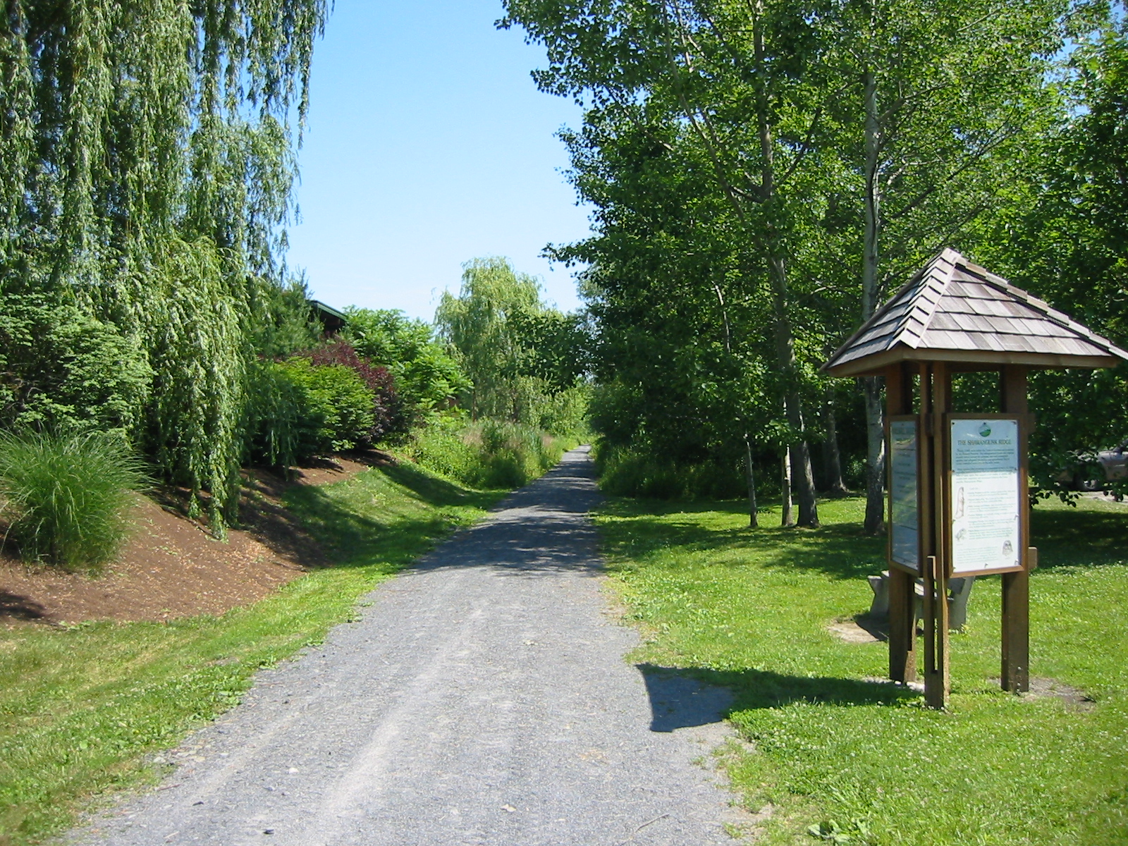
The Dutchess Rail Trail is a 12-mile (19 km) rail trail that stretches from Poughkeepsie east and south to Hopewell Junction. It occupies the right-of-way of the former Central New England Railway's abandoned Maybrook Line.[1]
Construction was initially set to begin in July 2007.[1] Three of the four phases of the trail are now open making for a 2.5 mile stretch from Morgan Lake in the Town of Pougheepsie to Overrocker road, and an 8.2 mile stretch from HG Page Hardware to Hopewell Junction. The final segment of the trail is scheduled to start construction in 2012, though is dependent on state funding to construct a bridge over Rt 55.[2].
The Maybrook Line was double tracked, so segments of the rail trail have both a paved and packed dirt trail side by side, allowing for equestrian or running on a softer surface.
There is also an effort underway to get access to a 1 mile stretch of CSX rail, that if developed, would connect the Dutchess Rail Trail to the Walkway Over the Hudson and the Hudson Valley Rail Trail.[3]
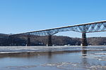
The railroad line was built in 1892 and was cut in half by a fire on the Poughkeepsie Bridge in 1974. Dutchess County originally purchased the Maybrook Line right of way to build a limited access highway to Interstate 84 but they didn't want to pay the monetary and environmental costs of connecting from Hopewell Junction to I-84.
References
- ^ a b Steinhaus, William R.. "Dutchess Rail Trail". Dutchess County, New York. http://www.co.dutchess.ny.us/CountyGov/Departments/DPW-Parks/17055.htm. Retrieved 2011-01-13.
- ^ Dutchess County official Web site Rail Trail construction progress
- ^ US Senator Charles Schumer official Web site Schumer pushes Rail Trail
External links
41°40′0″N 73°51′18″W / 41.666667°N 73.855°W
Rail trails in New York by county List of rail trails in New York Albany 

Allegany Allegheny River Valley Trail · Genesee Valley GreenwayCattaraugus Allegheny River Valley TrailCayuga Columbia Delaware Dutchess Franklin Rutland TrailLivingston Monroe New York Ontario Orange Oswego Putnam Rockland St. Lawrence Rutland TrailSchenectady Ulster Hudson Valley Rail Trail · Poughkeepsie Bridge · Walden–Wallkill Rail Trail · Wallkill Valley Rail Trail (Rosendale trestle)Westchester Categories:- Rail trails in New York
- Parks in Dutchess County, New York

Wikimedia Foundation. 2010.