- Netawaka, Kansas
-
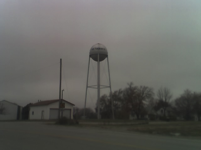
Netawaka, Kansas — City — Netawaka Water Tower Location of Netawaka, Kansas
Coordinates: 39°36′12″N 95°43′8″W / 39.60333°N 95.71889°WCoordinates: 39°36′12″N 95°43′8″W / 39.60333°N 95.71889°W Country United States State Kansas County Jackson Area – Total 1.0 sq mi (2.5 km2) – Land 1.0 sq mi (2.5 km2) – Water 0.0 sq mi (0.0 km2) Elevation 1,152 ft (351 m) Population (2000) – Total 170 – Density 174.1/sq mi (67.2/km2) Time zone Central (CST) (UTC-6) – Summer (DST) CDT (UTC-5) ZIP code 66516 Area code(s) 785 FIPS code 20-49950[1] GNIS feature ID 0473456[2] Netawaka is a city in Jackson County, Kansas, United States. The population was 170 at the 2000 census. Netawaka takes its name from the Pottawatami Native American word meaning "grand view".[3]
Contents
Geography
Netawaka is located at 39°36′12″N 95°43′8″W / 39.60333°N 95.71889°W (39.603238, -95.718753)[4].
According to the United States Census Bureau, the city has a total area of 1.0 square mile (2.6 km2), all of it land.
Demographics
Historical populations Census Pop. %± 1990 167 — 2000 170 1.8% U.S. Decennial Census As of the census[1] of 2000, there were 170 people, 62 households, and 47 families residing in the city. The population density was 174.1 people per square mile (67.0/km²). There were 66 housing units at an average density of 67.6 per square mile (26.0/km²). The racial makeup of the city was 94.12% White, 5.29% Native American, and 0.59% from two or more races.
There were 62 households out of which 40.3% had children under the age of 18 living with them, 64.5% were married couples living together, 6.5% had a female householder with no husband present, and 22.6% were non-families. 22.6% of all households were made up of individuals and 9.7% had someone living alone who was 65 years of age or older. The average household size was 2.74 and the average family size was 3.10.
In the city the population was spread out with 31.2% under the age of 18, 5.9% from 18 to 24, 27.1% from 25 to 44, 25.3% from 45 to 64, and 10.6% who were 65 years of age or older. The median age was 36 years. For every 100 females there were 123.7 males. For every 100 females age 18 and over, there were 98.3 males.
The median income for a household in the city was $30,417, and the median income for a family was $35,000. Males had a median income of $29,688 versus $16,719 for females. The per capita income for the city was $13,705. About 20.5% of families and 19.0% of the population were below the poverty line, including 25.4% of those under the age of eighteen and 45.5% of those sixty five or over.
See also
References
- ^ a b "American FactFinder". United States Census Bureau. http://factfinder.census.gov. Retrieved 2008-01-31.
- ^ "US Board on Geographic Names". United States Geological Survey. 2007-10-25. http://geonames.usgs.gov. Retrieved 2008-01-31.
- ^ Kansas Place-Names,John Rydjord, University of Oklahoma Press, 1972, p. 428 ISBN 0-8061-0994-7
- ^ "US Gazetteer files: 2010, 2000, and 1990". United States Census Bureau. 2011-02-12. http://www.census.gov/geo/www/gazetteer/gazette.html. Retrieved 2011-04-23.
External links
Municipalities and communities of Jackson County, Kansas Cities 
Townships Unincorporated
communitiesBirmingham | Larkinburg
Indian reservations Kickapoo Indian Reservation of Kansas‡ | Prairie Band Potawatomi Indian Reservation‡
Footnotes ‡This populated place also has portions in an adjacent county or counties
Categories:- Cities in Kansas
- Populated places in Jackson County, Kansas


Wikimedia Foundation. 2010.