- Dresher, Pennsylvania
-
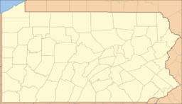
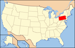
Dresher Unincorporated community Country United States State Pennsylvania County Montgomery Township Upper Dublin Elevation 203 ft (61.9 m) Coordinates 40°08′27″N 75°10′01″W / 40.14083°N 75.16694°W Area 3.24 sq mi (8.4 km2) - land 3.24 sq mi (8 km2) - water 0.0 sq mi (0 km2), 0% Population 5,610 (2000) Density 1,734.04 / sq mi (669.5 / km2) Timezone EST (UTC-5) - summer (DST) EDT (UTC-4) Area code 215 Dresher (previously Dreshertown) is a community in Montgomery County, Pennsylvania, USA. The population was 5,610 at the 2000 census. Because Dresher is neither an incorporated area nor a census-designated place, all statistics are for the ZIP code 19025, with which the community is coterminous.
Geography
According to the United States Census Bureau, the community has a total area of 3.24 square miles (8.4 km2) with no water area.
The headwaters for Sandy Run, a tributary of Wissahickon Creek are located in Dresher.
Dresher is located north of Philadelphia and is adjacent to Interstate 276.
Demographics
As of the census of 2000, there were 5,610 people, 1,765 households, and 1,538 families residing in the community. The population density was 1,734.04/sq mi. There were 1,830 housing units at an average density of 564.67/sq mi. The racial make-up of the borough was 89.9% White, 1.0% African American, 0.7% Native American, 6.8% Asian, 0.0% Pacific Islander, 0.8% from other races, and 0.8% from two or more races. Hispanic or Latino of any race were 1.2% of the population.
There were 1,765 households out of which 47.6% had children under the age of 18 living with them, 80.4% are married couples living together, 2.3% had a female householder with no husband present, and 12.9% were non-families. 12.0% of all households are made up of individuals. The average household size was 3.05 and the average family size was 3.31.
In the community the population was spread out with 30.1% under the age of 18, 4.8% from 18 to 24, 23.1% from 25 to 44, 30.7% from 45 to 64, and 11.3% who were 65 years of age or older. The median age was 39.8 years. For every 100 females there were 96 males. For every 100 females age 18 and over, there were 93 males.
The median income for a household in the community was $99,231, and the median income for a family was $107,236. Males had a median income of $82,897 versus $35,316 for females. The per capita income for the community was $38,865. 2.1% of the population and 2.1% of families were below the poverty line.
Communities Camp Hill · Dresher · Fitzwatertown · Fort Washington · Gilkison's Corner · Jarrettown · Maple Glen · North Hills · Oreland · Rose Valley · Three TunsInfrastructure Major Roads Education Historic Sites Historic Events Battle of Whitemarsh · Great Train Wreck of 1856Website: Upperdublin.netCategories:- Upper Dublin Township, Montgomery County, Pennsylvania
- Unincorporated communities in Montgomery County, Pennsylvania
Wikimedia Foundation. 2010.


