- Pennsylvania Route 752
-
PA Route 752
Route information Length: 1.8 mi[1] (2.9 km) Major junctions South end:  PA 63 in Horsham
 PA 463 in Horsham
North end:  US 611 in Horsham
Highway system Roads in Pennsylvania
Interstate • US • State • Legislative←  PA 747
PA 756  →
→Pennsylvania Route 752 was a state highway located in Montgomery County, Pennsylvania. The route connected PA 63 to US 611 in Horsham between 1930 and 1940. The route is today known as Dresher Road.
Contents
Route description
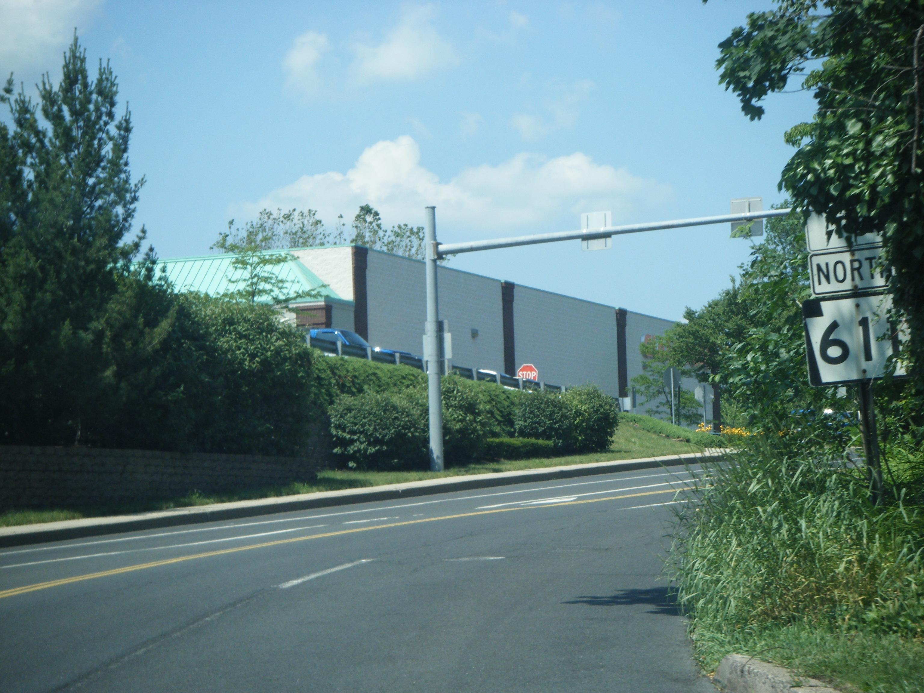
 Dresher Road northbound past PA 463, approaching PA 611
PA 752 began at an intersection with PA 63 in Horsham Township, heading northeast on Dresher Road through rural areas. The route crossed Witmer Road and PA 463. PA 752 ended at an intersection with US 611 (now PA 611) in the community of Horsham.[2][3][4] Today, Dresher Road is a four-lane undivided suburban highway passing several business parks and residential neighborhoods.[1][3]
History
PA 752 was first designated by 1930 to connect PA 63 to US 611.[2] By 1940, the route was removed.[5]
Major intersections
The entire route was in Horsham Township, Montgomery County.
Mile[1] Destinations Notes 0.0 PA 63 (Welsh Road)Southern terminus 1.6 PA 463 (Horsham Road)1.8 US 611 (Easton Road)Northern terminus 1.000 mi = 1.609 km; 1.000 km = 0.621 mi References
- ^ a b c Google, Inc. Google Maps – overview of Dresher Road (Map). Cartography by Google, Inc. http://maps.google.com/maps?f=d&source=s_d&saddr=Pennsylvania+63+%26+Dresher+Rd,+Horsham,+Montgomery,+Pennsylvania&daddr=PA+611+and+dresher+road&hl=en&geocode=FbPRZAId_kiF-ynHYYLm_q_GiTHdEbdncSo-HA%3BFYcjZQIdWJWF-ynvYk0vlq_GiTGv4kkZ-ZMXAA&mra=pd&sll=40.161715,-75.151106&sspn=0.007379,0.021136&ie=UTF8&t=h&z=14. Retrieved February 24, 2011.
- ^ a b Pennsylvania Department of Highways (1930). Tourist Map of Pennsylvania (Map). ftp://ftp.dot.state.pa.us/public/pdf/BPR_pdf_files/Maps/Statewide/Historic_OTMs/1930fr.pdf. Retrieved January 27, 2011.
- ^ a b ADC Map (2006). Montgomery County, Pennsylvania (Map). 1"=2000' (18th ed.). ISBN 0-87530-775-2.
- ^ United States Geological Survey (1947). Newark, New Jersey 1:250,000 quadrangle (Map). http://www.lib.utexas.edu/maps/topo/250k/txu-pclmaps-topo-us-newark-1947.jpg. Retrieved 2009-11-28.
- ^ Pennsylvania Department of Highways (1940). Official Road Map of Pennsylvania (Map). ftp://ftp.dot.state.pa.us/public/pdf/BPR_pdf_files/Maps/Statewide/Historic_OTMs/1940fr.pdf. Retrieved June 24, 2010.
Categories:- Former state highways in Pennsylvania

Wikimedia Foundation. 2010.