- Markleville, Indiana
-
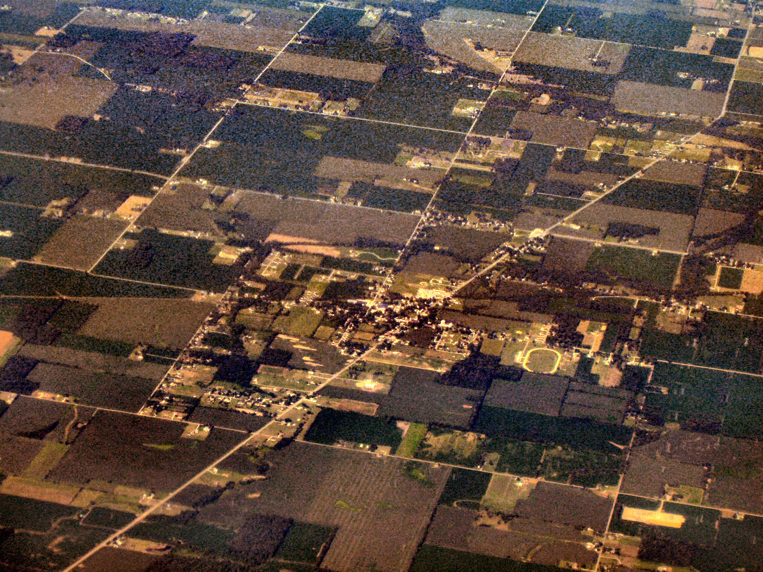
Markleville, Indiana — Town — Markleville from the air, looking west Location in the state of Indiana
Coordinates: 39°58′46″N 85°37′2″W / 39.97944°N 85.61722°WCoordinates: 39°58′46″N 85°37′2″W / 39.97944°N 85.61722°W Country United States State Indiana County Madison Township Adams Area - Total 0.4 sq mi (1.1 km2) - Land 0.4 sq mi (1.1 km2) - Water 0.0 sq mi (0.0 km2) Elevation 951 ft (290 m) Population (2010) - Total 528 - Density 943.7/sq mi (364.4/km2) Time zone Eastern (EST) (UTC-5) - Summer (DST) EDT (UTC-4) ZIP code 46056 Area code(s) 765 FIPS code 18-47178[1] GNIS feature ID 0438628[2] Markleville is a town in Adams Township, Madison County, Indiana, United States. It is part of the Anderson, Indiana Metropolitan Statistical Area. The population was 528 at the 2010 census.
Contents
Geography
Markleville is located at 39°58′46″N 85°37′2″W / 39.97944°N 85.61722°W (39.979501, -85.617273)[3].
According to the United States Census Bureau, the town has a total area of 0.4 square miles (1.0 km2), all of it land.
Demographics
As of the census[1] of 2000, there were 383 people, 141 households, and 111 families residing in the town. The population density was 943.7 people per square mile (360.7/km²). There were 149 housing units at an average density of 367.1 per square mile (140.3/km²). The racial makeup of the town was 99.74% White, and 0.26% from two or more races.
There were 141 households out of which 31.2% had children under the age of 18 living with them, 67.4% were married couples living together, 8.5% had a female householder with no husband present, and 20.6% were non-families. 16.3% of all households were made up of individuals and 9.2% had someone living alone who was 65 years of age or older. The average household size was 2.72 and the average family size was 3.02.
In the town the population was spread out with 24.5% under the age of 18, 6.8% from 18 to 24, 28.7% from 25 to 44, 27.2% from 45 to 64, and 12.8% who were 65 years of age or older. The median age was 38 years. For every 100 females there were 96.4 males. For every 100 females age 18 and over, there were 105.0 males.
The median income for a household in the town was $48,438, and the median income for a family was $50,313. Males had a median income of $30,781 versus $22,981 for females. The per capita income for the town was $17,395. None of the families and 0.8% of the population were living below the poverty line, including no under eighteens and none of those over 64.
History
Markleville was founded by a man named John Markle in the 1850s. Markle's descendants still live in the area of Markleville. Some still carry the name of Markle.
The site of the Fall Creek Massacre, chronicled by Jessamyn West in her novel Massacre at Fall Creek, is located about a mile from Markleville. An historical marker located just east of Markleville on State Road 38 tells the story of the massacre. In 1824, four men named Hudson, Sawyer, John T. Bridge, Sr. and John Bridge, Jr. were tried and sentenced to death for the murders of eight members of a small group of Seneca Indians, including women and children.
All were publicly hanged except for 18-year old John Bridge, Jr., who was pardoned on the gallows in person by Indiana Governor J. Brown Ray because of his age. This was the first time in U.S. history that white men were subjected to capital punishment for the murder of Native Americans.
References
- ^ a b "American FactFinder". United States Census Bureau. http://factfinder.census.gov. Retrieved 2008-01-31.
- ^ "US Board on Geographic Names". United States Geological Survey. 2007-10-25. http://geonames.usgs.gov. Retrieved 2008-01-31.
- ^ "US Gazetteer files: 2010, 2000, and 1990". United States Census Bureau. 2011-02-12. http://www.census.gov/geo/www/gazetteer/gazette.html. Retrieved 2011-04-23.
Municipalities and communities of Madison County, Indiana Cities Alexandria | Anderson | Elwood‡

Towns Chesterfield‡ | Country Club Heights | Edgewood | Frankton | Ingalls | Lapel | Markleville | Orestes | Pendleton | River Forest | Summitville | Woodlawn Heights
Townships Adams | Anderson | Boone | Duck Creek | Fall Creek | Green | Jackson | Lafayette | Monroe | Pipe Creek | Richland | Stony Creek | Union | Van Buren
Unincorporated
communitiesAlfont | Alliance | Bloomer | College Corner | Dundee | Edgewood Village | Emporia | Fishersburg | Florida | Gridley | Hamilton | Hardscrabble | Huntsville | Leisure | Linwood | Moonville | New Columbus | Perkinsville | Prosperity | Rigdon | Sunview
Footnotes ‡This populated place also has portions in an adjacent county or counties
Categories:- Populated places in Madison County, Indiana
- Towns in Indiana
- Indianapolis metropolitan area

Wikimedia Foundation. 2010.