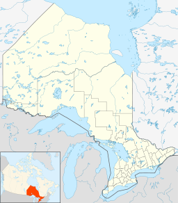
- Donegal, Perth County, Ontario
-
Donegal Settlement Country Canada Province Ontario County Perth Municipality North Perth Elevation 377 m (1,237 ft) Coordinates 43°37′47″N 80°57′44″W / 43.62972°N 80.96222°W Timezone EST (UTC-5) - summer (DST) EDT (UTC-4) Area code 519, 226 Donegal is a small community located in the township of North Perth, Perth County, Ontario, Canada. It is located on the intersection of Perth Road 147 and Perth Line 72.
References
Independent North Perth Atwood • Britton • Donegal • Gowanstown • Kurtzville • Listowel • Monkton • Newry • Teviotdale • Trowbridge • WallacePerth East Amulree • Brunner • Dorking • Milverton • Millbank • Newton • Gads Hill • Poole • Rostock • Shakespeare • WartburgPerth South West Perth Roads Perth County RoadsCategories:- Communities in Perth County, Ontario
- Western Ontario geography stubs
Wikimedia Foundation. 2010.

