- Onkaparinga Hills, South Australia
-
Onkaparinga Hills
South Australia
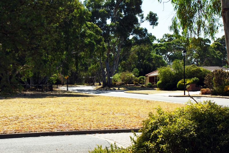
Spriggs RoadPopulation: 2,693 (2006 Census) Established: 1840s Postcode: 5163 Location: 33.5 km (21 mi) from Adelaide LGA: City of Onkaparinga State District: Mawson, Reynell Federal Division: Kingston Suburbs around Onkaparinga Hills: Morphett Vale Woodcroft Happy Valley Hackham Onkaparinga Hills Clarendon McLaren Vale McLaren Vale Blewitt Springs Onkaparinga Hills is a southern suburb of Adelaide, in the City of Onkaparinga. It covers and area of approx. 22 km2 or 2164 hectares.[1] It has a population of 2693 people (2006 Census).[2] It's a leafy suburb that encompasses parts of the Onkaparinga River, Onkaparinga River National Park and the Onkaparinga River Recreational Park.[3]
Nearly 60% of families in the area are couples with children, compared to an Australian average of 45.3%. The median rent in 2006 was $230.[4] The current median cost of a home in the area is $390 000.[5] 93.5% of people speak English only at home (Australian average 78.5%) and 91% are Australian citizens compared to the Australian average of 86.1%.[6]
History
Prior to European colonisation, the area was inhabited by the Kaurna people.[7] The name Onkaparinga is derived from the Kaurna word ngankiparrinnga, meaning ‘The Women’s River’.[8]
European settlement dates from the 1840s. Most of the settlers were initially farmers, with vineyards later being established. After the war[clarification needed] there was significant development and again in the early 1990s. The population is now relatively stable. There are still sections of the area used for vineyards, farming and grazing.[9]
Notes
- ^ Bonzle.com [10]
- ^ Australian Bureau of Statistics [11]
- ^ City of Onkaparinga Council Website [12]
- ^ Aboriginal Culture and History, City of Onkaparinga Council Website [13]
- ^ History Overview, City of Onkaparinga Council Website [14]
- ^ Domain Suburb Profile, Domain.com [15]
- ^ History of the Population, City of Onkaparinga Council Website [16]
Coordinates: 35°08′49″S 138°33′04″E / 35.147°S 138.551°E
Suburbs of the City of Onkaparinga Aberfoyle Park · Aldinga · Aldinga Beach · Blewitt Springs · Chandlers Hill · Cherry Gardens · Christie Downs · Christies Beach · Clarendon · Coromandel East · Coromandel Valley · Darlington · Dorset Vale · Flagstaff Hill · Hackham · Hackham West · Happy Valley · Huntfield Heights · Ironbank · Kangarilla · Lonsdale · McLaren Flat · McLaren Vale · Maslin Beach · Moana · Morphett Vale · Noarlunga Centre · Noarlunga Downs · O'Halloran Hill · O'Sullivan Beach · Old Noarlunga · Old Reynella · Onkaparinga Hills · Port Noarlunga · Port Noarlunga South · Port Willunga · Reynella · Reynella East · Seaford · Seaford Heights · Seaford Meadows · Seaford Rise · Sellicks Beach · Sellicks Hill · Tatachilla · The Range · Whites Valley · Willunga · Willunga South · WoodcroftCategories:- Suburbs of Adelaide
- Adelaide geography stubs
Wikimedia Foundation. 2010.