- Flagstaff Hill, South Australia
Infobox Australian Place | type = suburb
name = Flagstaff Hill
city = Adelaide
state = sa
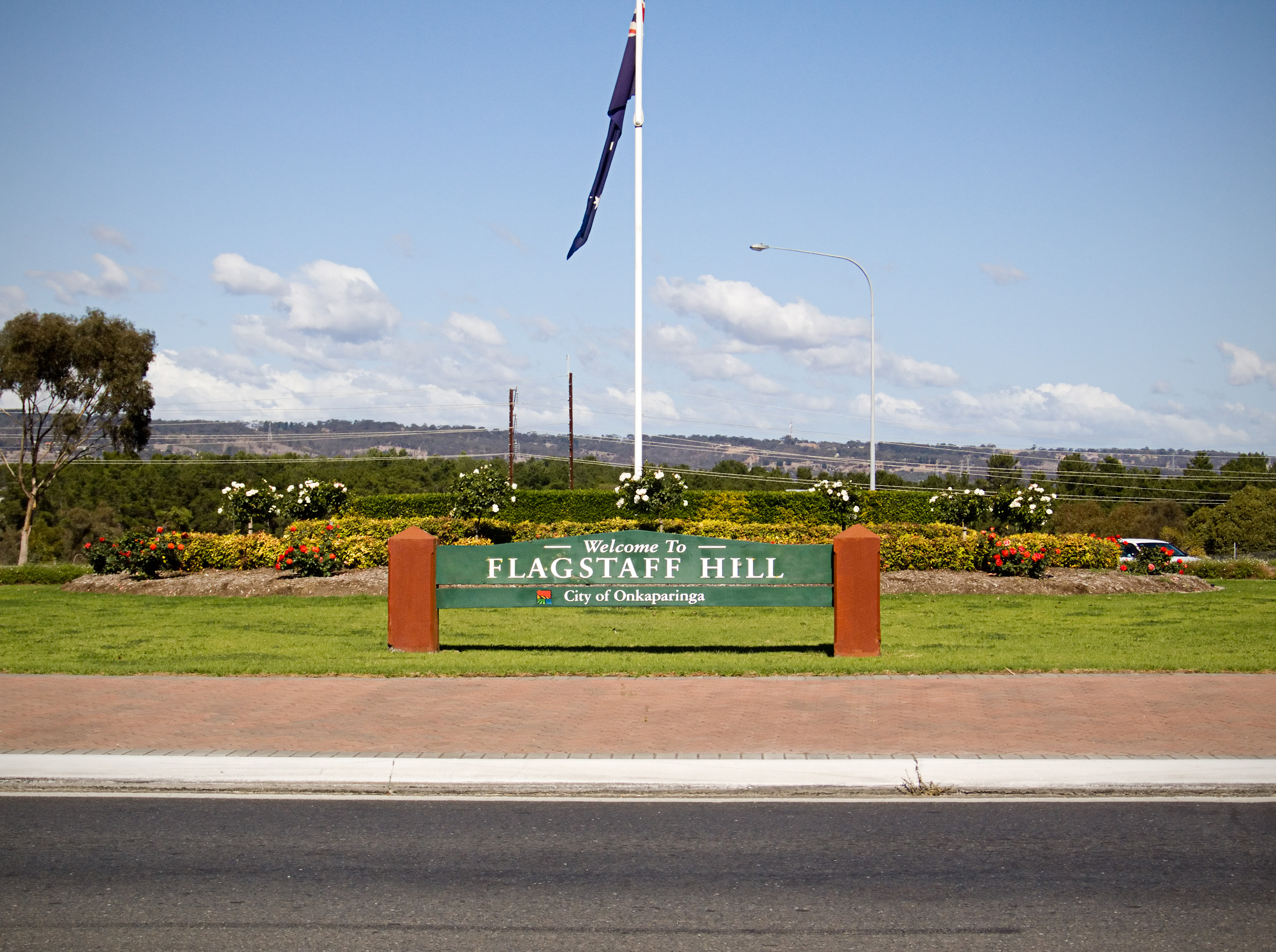
caption = Flagstaff Hill Roundabout
lga = City of Onkaparinga
postcode = 5159
pop = 9,420 (2006 Census)
est = 1967
area =
propval = $350,000 (2007)
stategov = Fisher, Davenport
fedgov = Boothby
near-nw = Bellevue Heights
near-n = Craigburn Farm
near-ne = Coromandel Valley
near-w = O'Halloran Hill
near-e = Coromandel Valley
near-sw = Happy Valley
near-s = Aberfoyle Park
near-se = Aberfoyle Park
dist1 = 16
location1=Adelaide :"There is also Flagstaff Hill (as a geographical feature), one near Burra (coord|33|38|S|138|53|E|region:AU-SA and Renmark (coord|34|26|S|140|29|E|region:AU-SA inSouth Australia Flagstaff Hill (coord|35|03|S|138|35|E|region:AU-SA) is a suburb in the
City of Onkaparinga local government area. It is named after the hill by that name in the area, where Colonel William Light erected a flagstaff during his survey, which was then used as atrig point . Flagstaff Hill is a leafy suburb established around theSturt Gorge Recreation Park , maintaining many parks and reserves throughout the suburb.History
Colonel William Light’s survey teams worked south from Adelaide throughout 1838 and 1839, leaving various marks across the landscape. One such mark was a trig point or flagstaff that was left at a grid reference of 783 192. By 1842, the area near this trig point was called the Flagstaff.
During the late nineteenth century, the Flagstaff was located in a farming and grazing region. In the 1960s, some of the land near the Flagstaff had been earmarked for suburban development.
In 1960, Hooker Rex Estates began purchasing land in the region for subdivision and over the next decade had accumulated nearly two hundred hectares. Blocks were first subdivided in the vicinity of a golf course, planners also also provided an oval and recreation facilities. The first 130 blocks were released in April 1967 and sold rapidly. By 1984, all developed land had been sold.
From 1985 the suburb was extended when a portion of Minda Home’s Craigburn Farm was subdivided by Essington Ltd. This division was spoken of as ‘landmark residential development’, due to the retention of large trees and waterways and subdivisions that fitted with the shape and orientation of the land.ref|Flagstaff_history
Amenities
Facilities in Flagstaff Hill include:
* Flagstaff Hill Primary School
* Craigburn primary School
* Kindergartens
* Flagstaff Hill Golf Course* Flagstaff Hill Sports and Community Centre
* Flagstaff Hill Scout and Guide Complex
* Sturt Gorge Recreation Park
* Shopping CentreThe shopping centre facilities consists of a video store, deli, fish and chippery, real estate agent, bakery, newsagent, chemist, butcher, hairdressers salon, Foodland supermarket and a bottleshop.
Politics
Federal
Flagstaff Hill is covered by one Federal Electoral Division, the federal
Division of Boothby , whose representative is DrAndrew Southcott .(Liberal Party)tate
Flagstaff Hill is covered by two State Electoral Divisions the state
electoral district of Fisher , whose current member is Dr.Bob Such (Independent) and the stateelectoral district of Davenport , whose current member isIain Evans (Liberal Party).Local
Flagstaff Hill is part of the Thalassa Ward of the
City of Onkaparinga , represented by Councillors Trevor Fletcher, Bill Coomans, Robert de Jonge and Dale Mazzachi.ee also
*
List of Adelaide suburbs Notes
# "History of the City of Onkaparinga" [http://www.onkaparingacity.com/history/viewsuburb.asp?content=flagstaff]
Wikimedia Foundation. 2010.