- Interstate 24 in Tennessee
Infobox road
state=TN
type=I
route=24
maint=Tennessee DOT 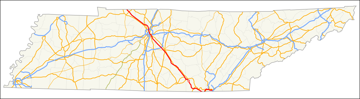
length_mi=180.16
length_round=2
length_ref=Fact|date=July 2008
established=1962 -1978
direction_a=West
terminus_a=jct|state=KY|I|24 atKentucky state line
junction=jct|state=TN|I|65 in Nashville
jct|state=TN|I|40 in Nashville
jct|state=TN|I|440 in Nashville
direction_b=East
terminus_b=jct|state=TN|I|75 in Chattanooga
counties=Montgomery, Robertson, Cheatham, Davidson, Rutherford, Bedford, Coffee, Grundy, Marion, Hamilton
previous_type=Dual
previous_route=23
next_type=Dual
next_route=24In the
U.S. state ofTennessee ,Interstate 24 runs from Clarksville to Chattanooga by way of Nashville. Just west of Chattanooga, I-24 drops into Georgia for 4 miles (6 km).One of the most notoriously hazardous stretches of Interstate highway in the United States is approximately 40 miles (64 km) west of Chattanooga on I-24 in Monteagle, where the highway goes over the
Cumberland Plateau . Compared to grades elsewhere, Monteagle's 4 to 6% grade does not come close to the steepest highway roads (Interstate 40 between Nashville and Knoxville features 5% grades in each direction), but theslope is protracted over a distance of several miles. While all motorists need to exercise caution, truckers are particularly vexed by Monteagle, and many have died going through this area.Fact|date=February 2007 The east bound lanes feature tworunaway truck ramp s where a truck whose brakes have failed due to overheating can exit into a long pit full of loose gravel to safely stop. These 2 ramps are on the left side of the grade. This dangerous stretch of highway inspiredJohnny Cash to write a song aboutMonteagle Mountain .The Monteagle grade also has one of the 3 widest medians of any Interstate highway. (The other 2 being I-8 through the In-Ko-Pah grade in California and I-84 through the Cabbage Hill grade east of Pendleton, Oregon.) There is more than a mile between the eastbound and westbound lanes at one point. The eastbound lanes descend the mountain on one side of a ridge, while the westbound lanes ascend on the other side of the ridge. Also of interest on Monteagle Mountain is the steep grade on I-24 north of Monteagle. This steep grade occurs for Westbound traffic and features a very sharp 45 MPH curve to the right while descending steeply at the same time. This downhill curve also features off-ramp approach style lane dividers, too, in order to tell motorists and truckers both to slow down.
Interstate 124 is an occasional (currently unsigned but still occasionally mentioned in DOT publications) designation of a portion of the US 27 freeway which runs as a spur into downtownChattanooga and beyond. [Tennessee Department of Transportation , [http://www.tdot.state.tn.us/roadprojects/2007/ Fiscal Years 2008-2010 Transportation Improvement Program] ,May 1 ,2007 ] Also in Chattanooga is the "Ridge Cut", a 1/4 mile section ofMissionary Ridge , between the 4th Avenue exit and the Germantown/Belvoir exit. Accidents and severe congestion are common here.Exit list
References
Wikimedia Foundation. 2010.