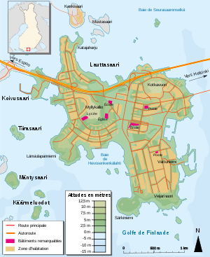
- Lauttasaari
-
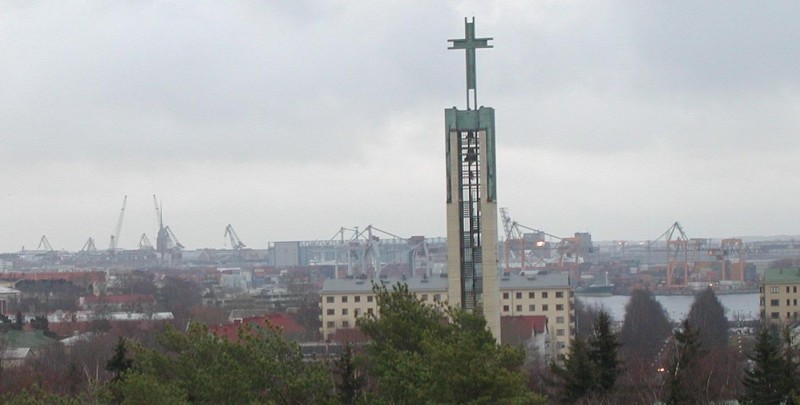
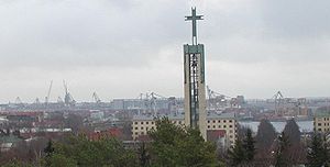 The church of Lauttasaari
Lauttasaari (Drumsö in Swedish) is an island and neighbourhood of Western Helsinki (Helsingfors in Swedish), about 3 kilometres west of the city centre.
With a population of 19000, Lauttasaari is primarily a residential area but also contains services, including several marinas and canoe clubs. Although close to the city centre, Lauttasaari is noted for its preserved forest areas and rocky outcrops.
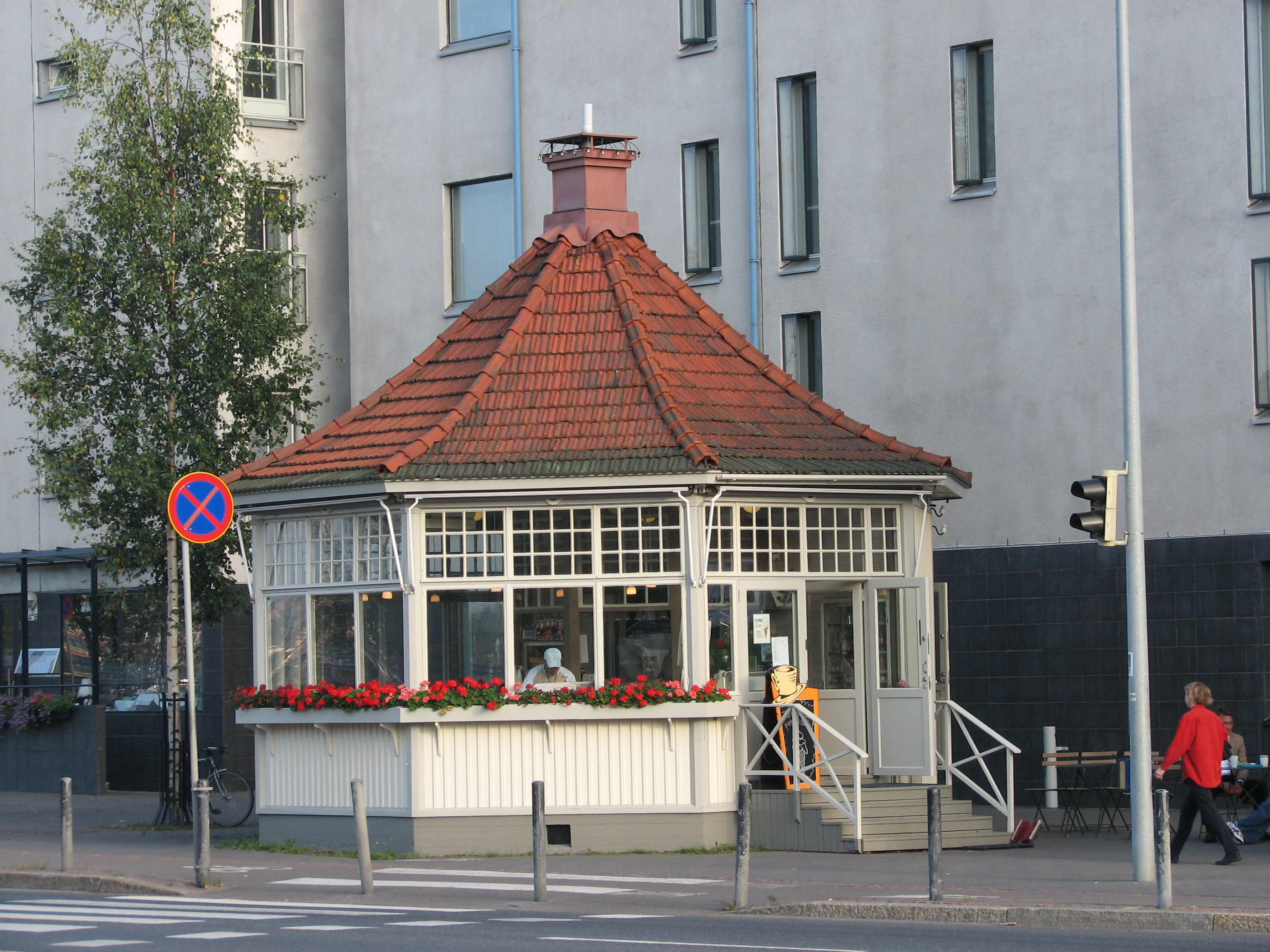
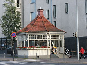 A café in Lauttasaari.
The highway Länsiväylä (Västerleden in Swedish, literally Western Route) linking central Helsinki with Espoo, passes through Lauttasaari.
The name Lauttasaari literally means "ferry island" although the island is now connected to Helsinki and Espoo by bridges and causeways.
Contents
Sub-sections
Vattuniemi
Vattuniemi is a section of Lauttasaari on the southern end of the island. The area was built up in the 1950s as an industrial zone. Since 2000, there has been a significant change in the markup of the area, and several office and industrial facilities have been demolished, with apartments being built to replace them. Currently, the median price of residential property is relatively high, causing the residential makeup to consist of the young and affluent. The main street on the western side of the area is Särkiniementie, and the eastern main street is Vattuniemenkatu.
Katajaharju
Katajaharju is a section of Lauttasaari in the north-western side of the island. The entire area is on the north side of Länsiväylä highway, and is primarily private residential houses. The area is or has been the home of several notable Finns, including the national entertainer Spede Pasanen, the Finnish Rally Driver Markku Alen and formerly, the great Finnish hockey legend, Teemu Selänne.
Public Buildings
The Lauttasaari church, the Myllykallio school, and the old Management Studies Institute building are amongst the examples of 1950s construction for public spaces on the island. The church was inaugurated on October 20, 1958, and was designed by professor Keijo Petäjä, who himself was a resident of Lauttasaari. The church steeple was placed into service in the autumn of 1957.
History
Lauttasaari was a largely undeveloped part of the borough of Huopalahti (Hoplax) until that borough was annexed to the city of Helsinki on January 1, 1946.
Lauttasaari metro station is going to be a stop on the Länsimetro, Helsinki metro extension.
Coordinates: 60°09′36″N 24°52′12″E / 60.16°N 24.87°E
Inhabited islands in the Baltic Sea Denmark Estonia Finland Archipelago Sea Islands (Åland Islands) · Hailuoto · Kimitoön · Laajasalo · Lauttasaari · Replot · SuomenlinnaGermany Poland Russia Sweden Categories:- Neighbourhoods of Helsinki
- Finnish islands in the Baltic
- Southern Finland geography stubs


Wikimedia Foundation. 2010.