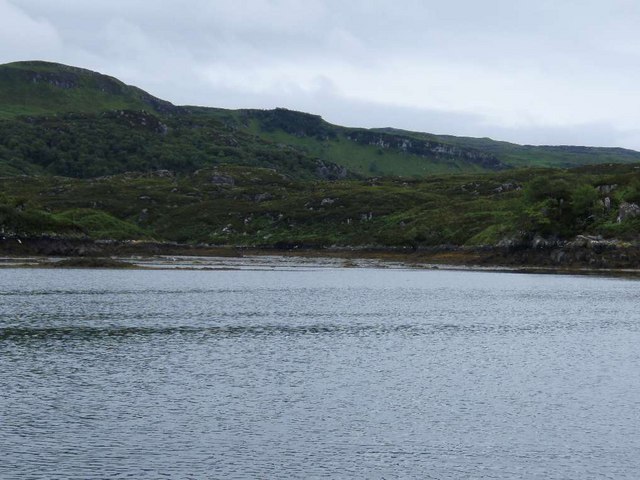
- Oronsay, Loch Sunart
-
Oronsay Location 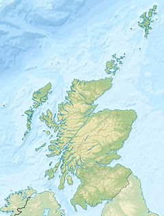
 Oronsay
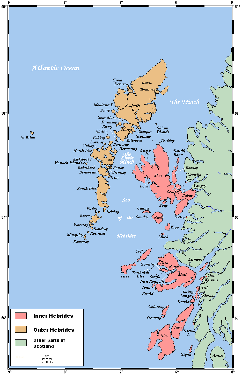
Oronsay shown within Scotland OS grid reference NM591592 Names Gaelic name Orasaigh Norse name Örfirirsey Meaning of name tidal island (Norse via Gaelic) Area and summit Area 230 hectares (0.89 sq mi) Area rank 102 Highest elevation 58 metres (190 ft) Population Population 0 Groupings Island group Inner Hebrides Local Authority Highland 

References [1][2][3] If shown, area and population ranks are for all Scottish islands and all inhabited Scottish islands respectively. Population data is from 2001 census. 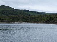 Oronsay from southern end of Sàilean Mòr
Oronsay is an uninhabited island in Loch Sunart, Scotland.
It is low-lying, barren and rocky, deeply indented with sea lochs.[4]
The island encloses Loch Drumbuie (Scottish Gaelic: Loch na Droma Buidhe), a popular anchorage for yachts and a temporary home to fish farm cages.
Footnotes
- ^ 2001 UK Census per List of islands of Scotland
- ^ Haswell-Smith, Hamish (2004). The Scottish Islands. Edinburgh: Canongate. ISBN 1841954543.
- ^ Ordnance Survey
- ^ Perrott, David. Guide to the Western Islands of Scotland. Edinburgh: Kittiwake.
Inhabited islands of the Hebrides Inner Hebrides 
Outer Hebrides Baleshare · Barra · Benbecula · Berneray · Eriskay · Flodaigh · Fraoch-eilean · Great Bernera · Grimsay (North) · Grimsay (South) · Lewis and Harris · North Uist · Scalpay · South Uist · VatersayCoordinates: 56°39′43″N 5°55′48″W / 56.66194°N 5.93°W
Categories:- Highland geography stubs
- Uninhabited islands of Scotland
Wikimedia Foundation. 2010.