- Tignish, Prince Edward Island
-
Tignish, Prince Edward Island — Village — Primary Tignish welcome sign, located on Western road (Phillip street)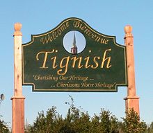
Motto: "Cherishing Our Heritage" Tignish in Prince Edward Island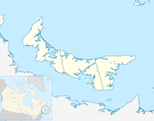

Coordinates: 46°57′02″N 64°02′01″W / 46.95050°N 64.03356°WCoordinates: 46°57′02″N 64°02′01″W / 46.95050°N 64.03356°W Country Canada Province Prince Edward Island County Prince County Parish North Parish Township Lot 1 Founded 1799 Town 1952 Community 1983 Area – Total 0.9 sq mi (2.31 km2) Elevation 49 ft (15 m) Population (2006) – Total 990 – Density 334.9/sq mi (129.3/km2) Time zone AST (UTC-4) – Summer (DST) ADT (UTC-3) Canadian postal code C0B 2B0 Area code(s) 902 Telephone Exchange 882 NTS Map 021I16 GNBC Code BAEGT Website Tignish.com Tignish is a fishing community located in western Prince County, Prince Edward Island, Canada. It is located approximately 50 miles (80 km) NW of the city of Summerside, and 90 miles (140 km) NW of Charlottetown.[1] With a town population of approximately 1,000, plus around 700 in surrounding localities, Tignish is considered by the government to be a "village", which is one level higher than a locality, one level lower than a town, and two levels lower than a city.
Tignish was founded in the late 1790s by nine founding francophone Acadian families, with further immigrants (mostly Irish) arriving in the 19th century and settling mostly in the nearby smaller locality of Anglo–Tignish (meaning "English Tignish"). Many of Tignish residents today are either of Acadian or Irish heritage.
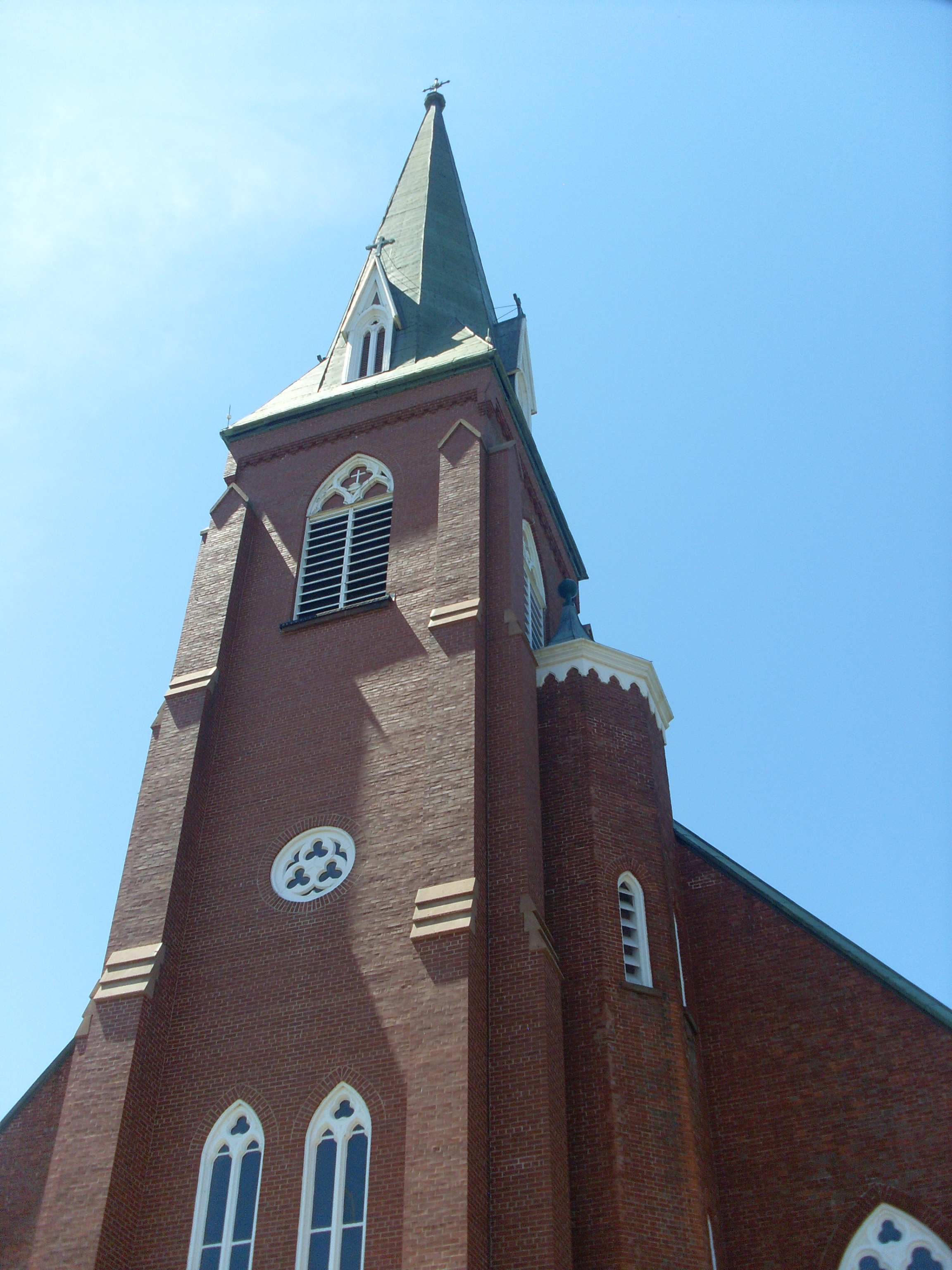
One of the community's most popular and defining structures is the local Catholic church, St. Simon & St. Jude Catholic Church, which was among the first major structures built in Tignish, constructed between 1857 and 1860.
Contents
Community
 Famed landmark, St. Simon & St. Jude Church.
Fishing is one of the most important aspects of daily life and employment in Tignish, with many local families depending on this venue for income. There are currently three functioning harbors located in the Tignish area: the Tignish harbor, the Skinner's Pond harbor, and the Seacow Pond harbor.
Among the businesses in Tignish include the Tignish Heritage Inn, which was a convent from 1867 through 1991, Eugene's General store, Judy's Take-out, Shirley's restaurant, Tignish Co-op grocery store, hardware store, and gas station, Tignish Cultural Center, Cousin's Diner, Pizza Shack, Perry's Construction, and much more.
Citizens of Tignish celebrated the bicentennial of Tignish in 1999. Among local festivities were Acadian music, local parties, carnivals, and the creation of a local music CD rich with the voices of Tignish residents. In addition, each summer there is a bluegrass festival that is held in Tignish.
Accent and dialect
Tignish has one of the most distinctive accents and original dialects in eastern Canada. Its sound is often etymologically described as a blend of English, French, and Scots/Scottish English, and there are many common English words that possess a unique alternate definition in Tignish, such as "slack", which locally, may mean "good" or "awesome". While English speakers in nearby towns such as Alberton and O'Leary have an accent and dialect similar to many other communities in the Maritime provinces, Tignish dialect is often described independent from this dialect, and is sometimes not even comprehensible by non-locals.
Education
K–12 students in the Tignish area mostly attend Tignish Elementary School from grades K–6, followed by Merritt E. Callaghan Intermediate and Westisle Composite High schools for grades 7–12.
Politics
Tignish is within district #27 of PEI's electoral boundaries, which is labeled the Tignish–Palmer Road division. There is a polling station at the Tignish fire hall, and others located elsewhere in Tignish as well as in St. Felix and Palmer Road. The name of the district was formerly "Tignish–DeBlois", but was changed to "Tignish–Palmer Road" during the 2007 provincial election with slight boundary changes. As of the 2007 election, Liberal Neil LeClair is the MLA for the region.
Surrounding communities
Nearby smaller localities, considered to be "part of" Tignish due to their proximity, include:
- St. Peter and St. Paul (3 mi S)
- Kildare North (4 mi SE)
- Tignish Shore (2 mi E)
- Anglo Tignish (2 mi NE)
- Seacow Pond (5 mi NE)
- Norway (6 mi NE)
Mars crater namesake
The name "Tignish" has been adopted by the International Astronomical Union for a crater on the surface of Mars. The crater is located at -30.71 degrees south by 86.9 degrees east on the Martian surface. It was officially adopted by the IAU/WGPSN in 1991, and has a diameter of 13.7 miles (22.0 km).[2]
Climate
Climate data for Tignish Month Jan Feb Mar Apr May Jun Jul Aug Sep Oct Nov Dec Year Record high °C (°F) 12.5
(54.5)11.1
(52.0)16.5
(61.7)23
(73)36.1
(97.0)33
(91)33.5
(92.3)33
(91)30
(86)25
(77)22
(72)15
(59)36.1
(97.0)Average high °C (°F) −4.3
(24.3)−3.8
(25.2)0.8
(33.4)6.2
(43.2)13.9
(57.0)19.6
(67.3)23.4
(74.1)22.9
(73.2)17.8
(64.0)11.7
(53.1)5.5
(41.9)−0.8
(30.6)9.4 Average low °C (°F) −12.8
(9.0)−12.5
(9.5)−7.4
(18.7)−1.7
(28.9)3.8
(38.8)9.6
(49.3)13.6
(56.5)13.4
(56.1)9.1
(48.4)4
(39)−1
(30)−8.2
(17.2)0.8 Record low °C (°F) −30
(−22)−27
(−17)−24
(−11)−12.5
(9.5)−6.7
(19.9)−1.5
(29.3)4
(39)3.9
(39.0)−2
(28)−6.5
(20.3)−14
(7)−24
(−11)−30
(−22)Precipitation mm (inches) 105.5
(4.154)80.4
(3.165)80.6
(3.173)82.5
(3.248)83.6
(3.291)79.1
(3.114)96
(3.78)81
(3.19)83.6
(3.291)109.1
(4.295)107.4
(4.228)116.9
(4.602)1,105.6
(43.528)Source: Environment Canada[3] See also
References
- ^ Government–sponsored `MapGuide` map of PEI. Retrieved on 28 March 2007.
- ^ A Little Bit of Canada on the Red Planet
- ^ Environment Canada Canadian Climate Normals 1971–2000, accessed 15 July 2009
External links
- Tignish - Official Website
- Government of PEI. Tignish Profile
- Epodunk. Tignish Profile
 Subdivisions of Prince Edward Island
Subdivisions Cities Towns Categories:- Communities in Prince County, Prince Edward Island
- Populated places established in 1799


Wikimedia Foundation. 2010.