- Georgetown, Prince Edward Island
Infobox Settlement
official_name = Georgetown
other_name =
native_name =
nickname =
settlement_type =Town
motto =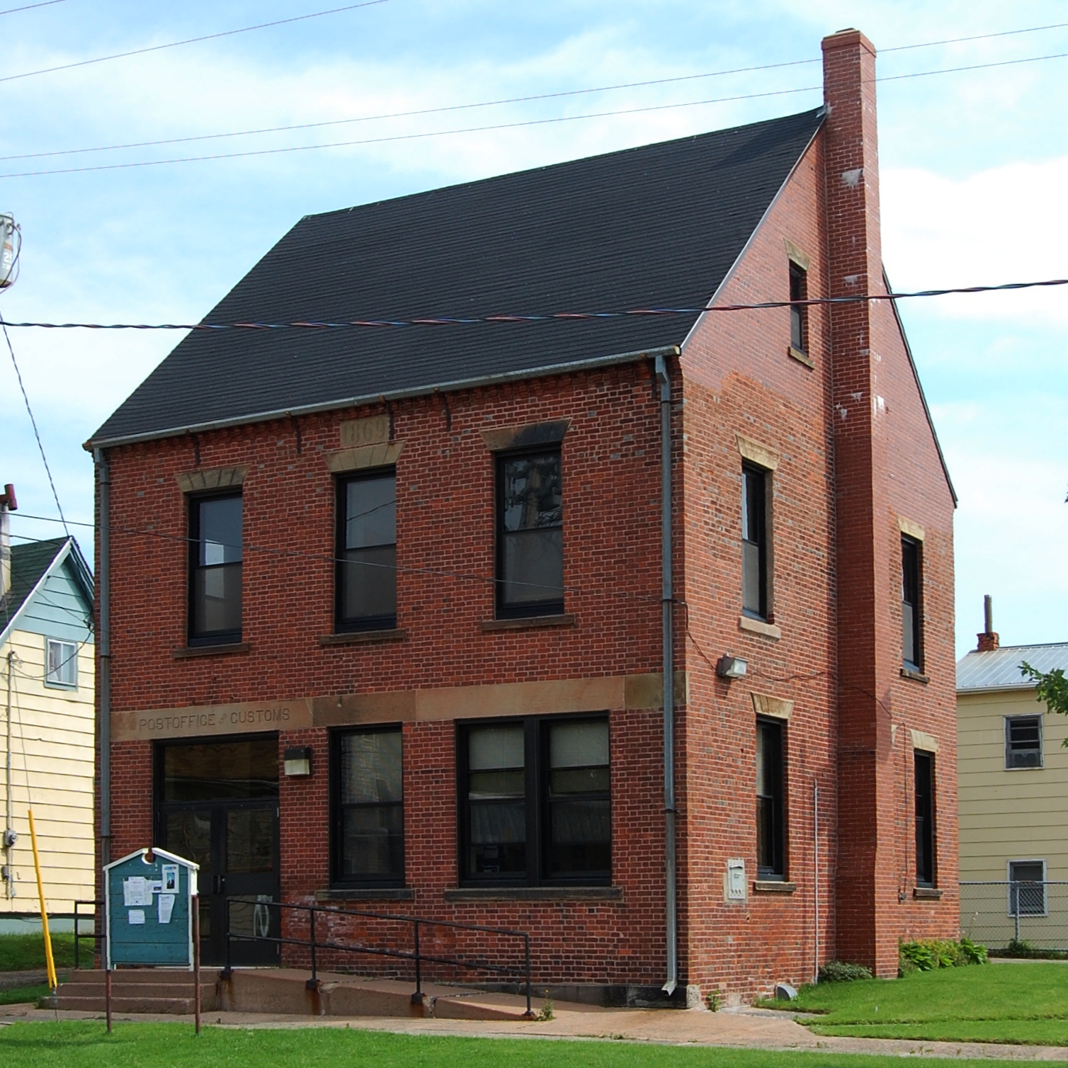
imagesize = 200px
image_caption = Georgetown Post Office
flag_size =
image_
seal_size =
image_shield =
shield_size =
city_logo =
citylogo_size =
pushpin_
pushpin_label_position = none
pushpin_map_caption = Georgetown in Prince Edward Island
pushpin_mapsize = 220
latd= 46.18459
longd= -62.53362
subdivision_type = Country
subdivision_name =Canada
subdivision_type1 = Province
subdivision_name1 =Prince Edward Island
subdivision_type2 = County
subdivision_name2 = Kings County
subdivision_type3 = Parish
subdivision_name3 = St. George's Parish
subdivision_type4 =
subdivision_name4 =
government_footnotes =
government_type =Town Council
leader_title =Mayor
leader_name = Peter Llewellyn
leader_title1 = Deputy Mayor
leader_name1 = Louis Lavandier
leader_title2 = Councillors
leader_name2 = Faye McQuillan
Peggy King
Craig Murphy
Barry O'Brien
Wade Williams
leader_title3 =
leader_name3 =
leader_title4 =
leader_name4 =
established_title =Founded
established_date = 1732
established_title2 = Incorporated
established_date2 = 1912
established_title3 =
established_date3 =
area_magnitude =
unit_pref =
area_footnotes =
area_total_km2 =
area_land_km2 = 1.65
area_water_km2 =
area_total_sq_mi =
area_land_sq_mi =
area_water_sq_mi =
area_water_percent =
area_urban_km2 =
area_urban_sq_mi =
area_metro_km2 =
area_metro_sq_mi =
area_blank1_title =
area_blank1_km2 =
area_blank1_sq_mi =
population_as_of = 2006
population_footnotes =
From StatsCan
population_note =
population_total = 721
population_density_km2 = 384.7
population_density_sq_mi =
population_metro =
population_density_metro_km2 =
population_density_metro_sq_mi =
population_urban =
population_density_urban_km2 =
population_density_urban_sq_mi =
population_blank1_title =
population_blank1 =
population_density_blank1_km2 =
population_density_blank1_sq_mi =
timezone =AST
utc_offset = -4
timezone_DST =ADT
utc_offset_DST = -3
elevation_footnotes =
elevation_m =
elevation_ft =
postal_code_type =Canadian Postal code
postal_code = C0A 1L0
area_code = 902
blank_name = Telephone Exchange
blank_info = 652
blank_name = NTS Map
blank_info = 011L02
blank1_name = GNBC Code
blank1_info = BABDH
website =
footnotes =Georgetown is a Canadian
town and the county seat of Kings County,Prince Edward Island . As of 2006, the population was 721.Geography
Georgetown sits at the southeastern tip of Cardigan Point, an 8 kilometre long peninsula formed by the Brudenell River to the south and the Cardigan River to the north. This peninsula forms part of the township of Kings Royalty and extends into Cardigan Bay, a sub-basin of the
Northumberland Strait to the east.Georgetown Harbour is a deep natural harbour and lies to the south of the town at the confluence of the Brudenell River and the Montague River.
History
This area of eastern Prince Edward Island traces its history of human settlement to the Mi'kmaq Nation which inhabited the area. These people were referred to as "Epegoitnag" and for them, the region was comprised of an
Acadian forest wilderness containing wild game, as well as fruit, berries and wild nuts for gathering, as well as plentiful marine resources in the nearby rivers andNorthumberland Strait . The land in this area was called "Samkook" which translates to 'the land of the sandy shore'.Georgetown lies opposite Brudenell Point, which divides the Brudenell River to the north from the Montague River to the south. Brudenell Point was the location of the first permanentAcadian settlement on what the French called Ile-Saint-Jean. Here, entrepreneur Jean Pierre Roma landed in1732 with approximately 100 settlers to begin a commercial settlement to grow food and catch fish for provisioning the French military garrison atFortress Louisbourg on Ile-Royale (nowCape Breton Island ). French settlers called the area Trois-Rivieres (Three Rivers).Following the transfer of control of Acadia to Britain at the conclusion of the
Seven Years' War in 1763, the British government survey of St. John's Island by CaptainSamuel Holland selected the entirety of Cardigan Point for the capital of Kings County and designated it as the township of Kings Royalty.The county capital was to be named Georgetown in honour of King George III. The settlement was oriented on magnetic north and a broad street network was designed.
Present-day Georgetown's collection of venerable and beautiful heritage buildings mostly dates to the late
Victorian Era at the height of Georgetown's importance in the woodenshipbuilding industry. As one of the most important ports in the colony of Prince Edward Island, the port was selected in1870 to be the eastern terminus of thePrince Edward Island Railway (PEIR) and became a vital steamship terminal with connections to theIntercolonial Railway on the mainland atPictou, Nova Scotia . Georgetown's harbour was frequently the only port on the island to be usable during the winter months on account of prevailing wind and tide directions (this being before theCanso Causeway altered sea ice patterns in the Northumberland Strait).The PEIR mainline from Georgetown extended through Montague Junction (where a spur was built to service nearby Montague) to Mount Stewart and on to Royalty Junction (connection to Charlottetown), Summerside and Alberton.
In the 20th century, Georgetown's industrial base diversified to include the Island's only
shipyard , East Isle Shipyard, which is now owned byJ.D. Irving Limited , as well as the Island's largestsaw mill (also owned by JDI). A major seasonal employer is a aseafood plant, operated bySeafood 2000 and originally constructed byNational Sea Products Limited .Local attractions
* Georgetown is adjacent to
Brudenell River Provincial Park which hosts a campground and tourist accommodations. Two of the province's top golf courses are located at the Brudenell River Resort.* The Kings County Playhouse is an important seasonal draw for tourists, with evening and matinée performances by local actors and musicians. [http://www.kingsplayhouse.com]
* Georgetown Inn is a Historical Inn with 7 rooms to let and an excellent restaurant featuring local produce and seafood. [http://www.peigeorgetownhistoricinn.com]
* Tranquility Cove Adventures offers clam digging and lobster fishing tours on a real lobster boat. [http://www.tranquilitycoveadventures.com]
* A lit boardwalk on the water with benches, lookouts, a gazebo and access to the beach.
* Clamdiggers Restaurant and Beach house is a seafood restaurant that has a large deck overlooking the Harbour. [http://www.clamdiggers.ca]
* The Confederation Trail works its way through Georgetown offering wonderful water views, perfect for walking or cycling.
* Three Craft shops featuring works from local artists and a seaglass jewelry studio. [http://www.shorelinedesignpei.com]
* 10 historical buildings are listed in Georgetown and there is a walking tour showing you these and other buildings of interests.
References
* [http://www.gov.pe.ca/municipalities/onemuni.php3?place=Georgetown Government of PEI Municipality Information]
* [http://www12.statcan.ca/english/Profil01/CP01/Details/Page.cfm?Lang=E&Geo1=CSD&Code1=1101024&Geo2=PR&Code2=11&Data=Count&SearchText=Georgetown&SearchType=Begins&SearchPR=01&B1=All&Custom= Georgetown Statistics]External links
* [http://www.georgetown.ca Town of Georgetown]
* [http://www.gov.pe.ca/placefinder/index.php3?city=Georgetown Government of PEI Profile]
* [http://ca.epodunk.com/profiles/prince-edward-island/georgetown/2000823.html Epodunk Canada Profile]

Wikimedia Foundation. 2010.