- Col de Peyresourde
-
Col de Peyresourde 
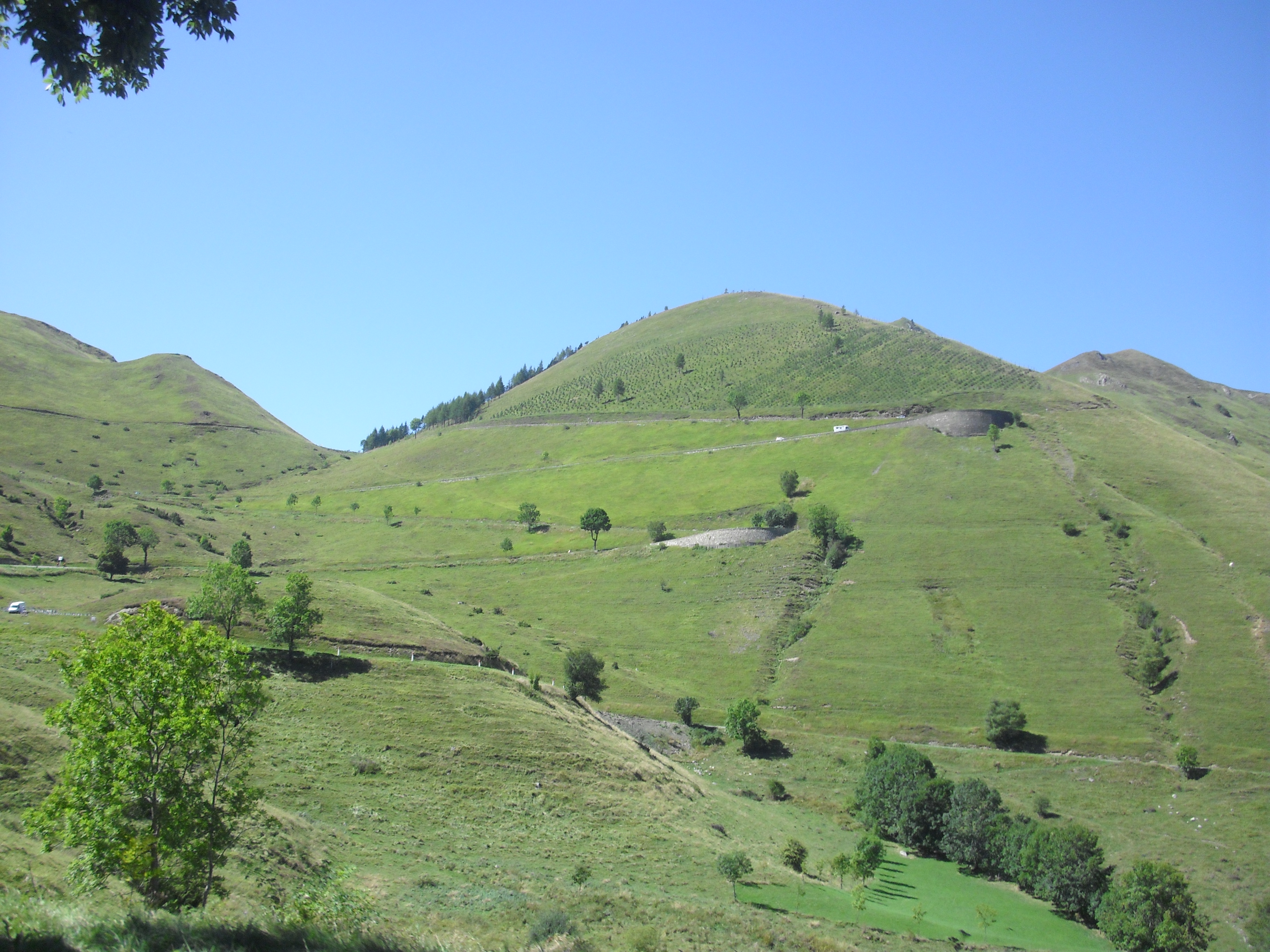
The eastern approach to the Col de PeyresourdeElevation 1,569 m (5,148 ft) Traversed by D618 Location Location of Col de Peyresourde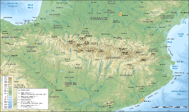
 Col de Peyresourde
Location Haute-Garonne/Hautes-Pyrénées  France
Range Pyrenees Coordinates 42°48′08″N 0°27′46″E / 42.80222°N 0.46278°ECoordinates: 42°48′08″N 0°27′46″E / 42.80222°N 0.46278°E The Col de Peyresourde (Occitan: Còth de Pèira Sorda) is a mountain pass in the central Pyrenees on the border of the department of Haute-Garonne and Hautes-Pyrénées in France. It is situated on the D618 road between Bagnères de Luchon and Arreau.
Contents
Details of climb
Starting from Bagnères de Luchon (east), the Col de Peyresourde is 15.27 km long. Over this distance, the climb is 939 m. (an average of 6.1%). The steepest sections are 9.8%.
Starting from Armenteule (west), the climb is 8.3 km long. Over this distance, the climb is 629 m. (an average of 7.6%).
Tour de France
The Col de Peyresourde was first used in the Tour de France in 1910 and has appeared frequently since. The leader over the summit in 1910 was Octave Lapize.
In 2007, the Tour de France crossed the Col de Peyresourde on stage 15, joining the climb at Saint-Aventin (5.5 km from Bagnères de Luchon) after descending from the Port de Balès. This stage was selected for the 2007 L'Étape du Tour, in which amateur and club riders ride over a full stage of the tour.
Appearances in Tour de France (since 1947)
See also
- List of highest paved roads in Europe
- List of mountain passes
External links
Categories:- Mountain passes of France
- Mountain passes of the Pyrenees
- Climbs in cycle racing
- 2007 Tour de France
- 2008 Tour de France

Wikimedia Foundation. 2010.