- Nohen
-
Nohen 

 NohenLocation of Nohen within Birkenfeld district
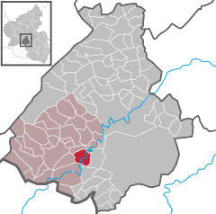
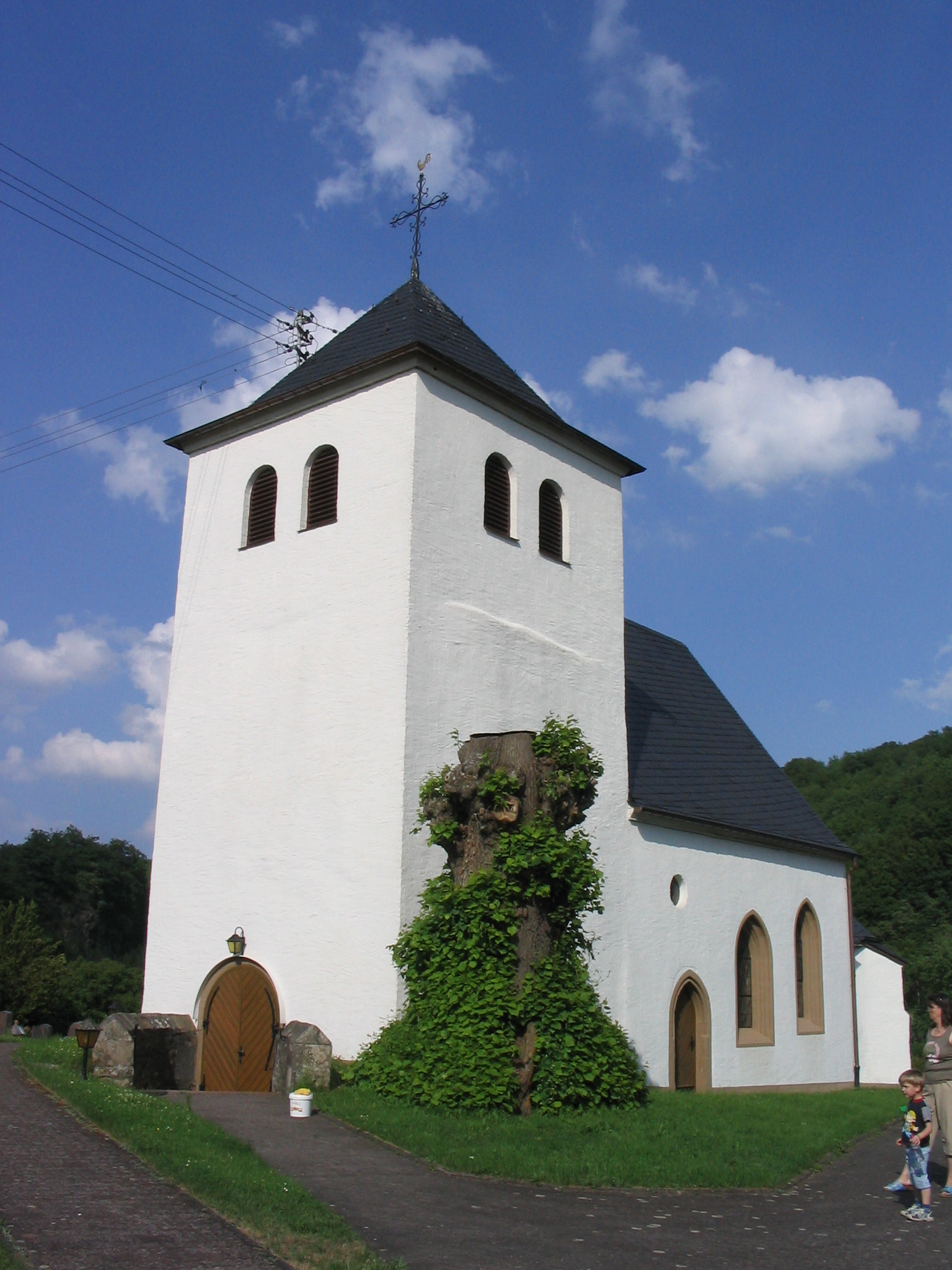
Coordinates 49°38′28″N 7°14′36″E / 49.64111°N 7.24333°ECoordinates: 49°38′28″N 7°14′36″E / 49.64111°N 7.24333°E Administration Country Germany State Rhineland-Palatinate District Birkenfeld Municipal assoc. Birkenfeld Mayor Klaus Heyda Basic statistics Area 7.50 km2 (2.90 sq mi) Elevation 458 m (1503 ft) Population 399 (31 December 2010)[1] - Density 53 /km2 (138 /sq mi) Other information Time zone CET/CEST (UTC+1/+2) Licence plate BIR Postal code 55767 Area code 06789 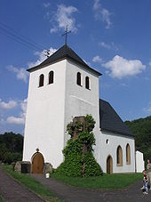 Nohen Evangelical Church
Nohen is an Ortsgemeinde – a municipality belonging to a Verbandsgemeinde, a kind of collective municipality – in the Birkenfeld district in Rhineland-Palatinate, Germany. It belongs to the Verbandsgemeinde of Birkenfeld, whose seat is in the like-named town.
Contents
Geography
Location
The municipality lies at the mouth of the Röhmbach, where it empties into the Nahe.
Neighbouring municipalities
Nohen borders in the north on the municipality of Kronweiler, in the east on the municipality of Reichenbach, in the south on the municipality of Heimbach and in the west on the municipality of Rimsberg.
History
Nohen’s beginnings can be traced back to a time when the location was favourable to transportation because it lay on one of the few fords in the river Nahe’s upper valley. As an indication of how important Nohen was geographically in those early days, one need only observe that it was then the only place along the river Nahe that was named after the river (the names “Nohen” and “Nahe” have a common heritage). It was here that one of the oldest north-south trade roads crossed the Nahe. This Bronzestraße (“Bronze Road”) from the Glan by way of Nohen to the Moselle was expanded in Roman times into a crosslink between the Mainz-Trier and Mainz-Metz roads.
The military-strategic importance of the road link with the ford, or later bridge, was great. On the night of 23 and 24 September 1635 and the following morning, a Swedish-French army under Duke Bernard of Saxe-Weimar’s leadership went slogging by across the river after their defeat at Nördlingen in the Thirty Years' War on their retreat by way of Birkenfeld to Wallerfangen, even as they were being pursued by the far superior, victorious Imperial army under Count Gallas.
Until the late 18th century, Nohen belonged to the “Hinder” County of Sponheim.
Politics
Municipal council
The council is made up of 8 council members, who were elected by majority vote at the municipal election held on 7 June 2009, and the honorary mayor as chairman[2].
Mayor
Nohen’s mayor is Norbert Helm, and his deputies are Holger Romag and Kai Müller[3].
Coat of arms
The German blazon reads: In schräggeteiltem Schild vorne in Silber eine in der Teilung geschnittene schwarze Brücke über schräglinkem blauen Wellenband, hinten rot-silbern geschacht.
The municipality’s arms might in English heraldic language be described thus: Per bend argent a bridge couped at the line of partition sable above a bend sinister wavy abased azure, and chequy gules and argent.
The charges on the dexter (armsbearer’s right, viewer’s left) side refer to the bridge over the river Nahe (the wavy bend sinister), and the “chequy” field on the sinister (armsbearer’s left, viewer’s right) side is a reference to the village’s former allegiance to the “Hinder” County of Sponheim, which bore arms chequy gules and argent. Nohen was in the Oberamt of Birkenfeld.
The arms have been borne since 20 June 1963[4].
Culture and sightseeing
Buildings
The following are listed buildings or sites in Rhineland-Palatinate’s Directory of Cultural Monuments:[5]
- Evangelical Parish Church, Hauptstraße – stepped building complex; west tower from the 14th century, possibly older (belfry from 1953), quire and nave Late Gothic (nave built higher in 18th century?); characterizes village’s appearance
- Hauptstraße 26 – Quereinhaus (a combination residential and commercial house divided for these two purposes down the middle, perpendicularly to the street), marked 1815
- Railway bridge on the Rhine-Nahe Railway – two-arch, brick-framed sandstone-block structure over the Nahe
- Footbridge, south of the village – light, rivetted iron-rod construction, on the left bank on quarrystone underpinnings
- Inscription stone, on the way to the warriors’ memorial – possibly from the 17th century
- Warriors’ memorial, southeast of the village – for those who fell in the First World War, seven crosses, 1924, expanded in 1961
Economy and infrastructure
Transport
To the west runs Bundesstraße 41, and to the south, the Autobahn A 62 (Kaiserslautern–Trier). Nohen also has a station on the Nahe Valley Railway (Bingen–Saarbrücken).
References
- ^ "Bevölkerung der Gemeinden am 31.12.2010" (in German). Statistisches Landesamt Rheinland-Pfalz. 31 December 2010. http://www.statistik.rlp.de/fileadmin/dokumente/berichte/A1033_201022_hj_G.pdf.
- ^ Kommunalwahl Rheinland-Pfalz 2009, Gemeinderat
- ^ Nohen’s council
- ^ Description and explanation of Nohen’s arms
- ^ Directory of Cultural Monuments in Birkenfeld district
External links
- Nohen in the collective municipality’s webpages (German)
- Brief portrait of Nohen with film from SWR Fernsehen’s programme Hierzuland from 10 February 2010 (German)
- This article incorporates information from the German Wikipedia.
Categories:- Municipalities in Rhineland-Palatinate
- Birkenfeld district geography stubs


Wikimedia Foundation. 2010.