Nagykáta

Nagykáta
Nagykáta

Coat of arms
Nagykáta is located in Hungary
Nagykáta
Location of Nagykáta in Hungary
Coordinates: 47°24′43″N 19°44′23″E / 47.41201°N 19.73963°E / 47.41201; 19.73963
Country Hungary
Region Central Hungary
County Pest
Rank City
KSH code 13435[1]
Government
 – Mayor János Kocsi
Area[1]
 – Total 81.61 km2 (31.5 sq mi)
Population (1 January 2009)[1]
 – Total 12,739
 – Density 156.1/km2 (404.3/sq mi)
Time zone CET (UTC+1)
 – Summer (DST) CEST (UTC+2)
Postal code 2760
Area code +36 29

Nagykáta is a town in Pest County, Hungary, about 60 kilometres (40 mi) from Budapest.

Contents

Communications

Express trains take 47 minutes to Budapest Keleti railway station from Nagykáta and stopping trains about 65 minutes.

History

The history of Nagykáta dates back to the 12th century, when the Pest county branch of the Káta family settled in the region.

On the outskirts of Nagykáta, at a place called Kenderhalom, can be found the remains of a village which was the predecessor of Nagykáta at the time of the Árpád dynasty.

The Regestrum of Várad mentions the name of the village as Hungarian: 'Káta' in 1221. In the 15th and 16th centuries the name of Nagykáta appears as Csekekáta in several documents[citation needed]. The name Nagykáta appears first at the beginning of the 17th century.

Although the village was destroyed several times under the Turkish occupation of Hungary, it was always revived. The Káthay family were unable keep up with so many setbacks and could not survive the struggle. Heirless Ferenc Káthay had to sell his remaining estates – even Csekekáta – to Miklós Keglevich in 1663.

When Buda was reoccupied Nagykáta was also marked for destruction, and it did not appear in the official registers until 1665, but from 1696 the village had an ordained priest again, and the registration of births, marriages death began.
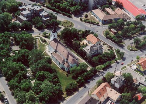
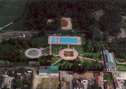
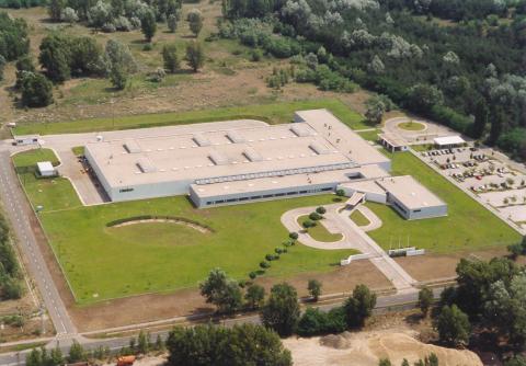
Gallery

References

  1. ^ a b c Nagykáta at the Hungarian Central Statistical Office. 1 January 2009

External links


Wikimedia Foundation. 2010.

Игры ⚽ Нужно сделать НИР?

Look at other dictionaries:

  • Nagykáta — Nagykáta …   Deutsch Wikipedia

  • Nagykata — Nagykáta [ˈnɒckaːtɒ] ist eine ungarische Stadt im Komitat Pest und Hauptort des gleichnamigen Kleingebiets. Der Ort ist 60 Kilometer von der Landeshauptstadt Budapest entfernt, erstreckt sich über eine Fläche von 81,61 km² und zählte bei der… …   Deutsch Wikipedia

  • Nagykáta — Héraldique Ad …   Wikipédia en Français

  • Nagykáta — (spr. naddj ), Großgemeinde im ungar. Komitat Pest, (1900) 7560 E …   Kleines Konversations-Lexikon

  • Nagykata — Original name in latin Nagykta Name in other language Nagykata, Nagykta State code HU Continent/City Europe/Budapest longitude 47.41514 latitude 19.7441 altitude 112 Population 13322 Date 2012 01 18 …   Cities with a population over 1000 database

  • Nagykáta — Sp Nãdkata Ap Nagykáta L Vengrija …   Pasaulio vietovardžiai. Internetinė duomenų bazė

  • Kleingebiet Nagykáta — Das Kleingebiet Nagykáta (ungarisch Nagykátai kistérség) ist eine ungarische Verwaltungseinheit (LAU 1) innerhalb des Komitats Pest in Nordungarn. Der Verwaltungssitz ist Nagykáta. Im Kleingebiet Nagykáta lebten im Jahr 2009 auf einer Fläche von… …   Deutsch Wikipedia

  • Farmos — is a village in the range of Nagykáta, Pest county, Hungary, n the middle of the range adjacent to the agglomeration of Budapest. It can be reached by public road from Nagykáta, Jászberény and Tápiószele. The village has a railway station, on… …   Wikipedia

  • Надьката — Город Надьката венг. Nagykáta Герб …   Википедия

  • Arthur Görgey — Artúr (Arthur) Görgey von Görgő und Toporcz (* 30. Januar 1818 in Toporec (ungarisch Toporc), damals Komitat Zips, heute Slowakei; † 21. Mai 1916 in Visegrád, Komitat Pest) war ein ungarischer General während der Revolution von 1848 …   Deutsch Wikipedia

Share the article and excerpts

Direct link
Do a right-click on the link above
and select “Copy Link”