Szob

Szob

Infobox Settlement
subdivision_type = Country
subdivision_name = HUN
timezone=CET
utc_offset=+1
timezone_DST=CEST
utc_offset_DST=+2
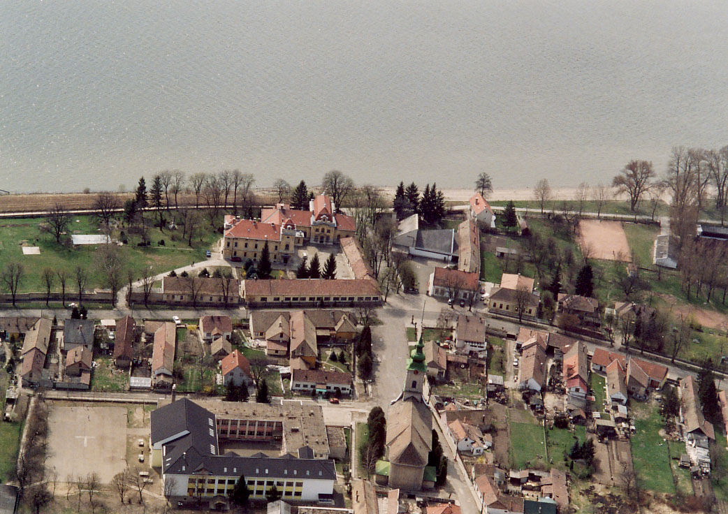


image_caption = Aerial view
pushpin_

pushpin_label_position =
pushpin_map_caption =Location of Szob
pushpin_mapsize =
official_name=Szob
subdivision_type1=County
subdivision_name1=Pest
area_total_km2=20.07
population_total=2968
population_as_of=2004
population_density_km2=147.88
postal_code_type=Postal code
postal_code=2628
area_code=27
latd=47.81944
longd=18.86930

Szob is a town in Pest county, Hungary. It is known for formerly housing the forced-labor camp which held former US Congressman Tom Lantos, during much of World War II.

External links

* [http://www.terkepcentrum.hu/index.asp?go=map&tid=24916 Street map] hu icon


Wikimedia Foundation. 2010.

Игры ⚽ Нужно сделать НИР?

Look at other dictionaries:

  • Szob — Szob …   Deutsch Wikipedia

  • Szob — Administration …   Wikipédia en Français

  • Szob — Szob, Dorf im Bezirk Vamos Mikola des ungarischen Comitats Hont, an der Donau unweit der Mündung des Ipoly; Eisenbahnstation; Weinbau; 400 Ew …   Pierer's Universal-Lexikon

  • Szob — Original name in latin Szob Name in other language Szob State code HU Continent/City Europe/Budapest longitude 47.81921 latitude 18.8702 altitude 111 Population 3065 Date 2012 02 02 …   Cities with a population over 1000 database

  • Szob — Sp Sòbas Ap Szob L Vengrija …   Pasaulio vietovardžiai. Internetinė duomenų bazė

  • Burgus Szob —  Karte mit allen Koordinaten: OSM, Google oder Bing …   Deutsch Wikipedia

  • Kleingebiet Szob — Das Kleingebiet Szob (ungarisch Szobi kistérség) ist eine ungarische Verwaltungseinheit (LAU 1) innerhalb des Komitats Pest in Ungarn. Der Verwaltungssitz ist Szob. Ortschaften Diese 13 Ortschaften gehören zum Kleingebiet Szob (in Klammern die… …   Deutsch Wikipedia

  • Bahnstrecke Bratislava–Štúrovo–Szob — Bratislava–Budapest Kursbuchstrecke: ZSSK 130 MÁV 70 Streckenlänge: 214 km Spurweite: 1435 mm (Normalspur) Stromsystem …   Deutsch Wikipedia

  • Kastell Esztergom–Hideglelőskereszt —  Karte mit allen Koordinaten: OSM, Google oder …   Deutsch Wikipedia

  • Komitat Hont — (1910) Verwaltungssitz: Ipolyság Fläche: 2.633 …   Deutsch Wikipedia

Share the article and excerpts

Direct link
Do a right-click on the link above
and select “Copy Link”