- Cross Ranch State Park
-
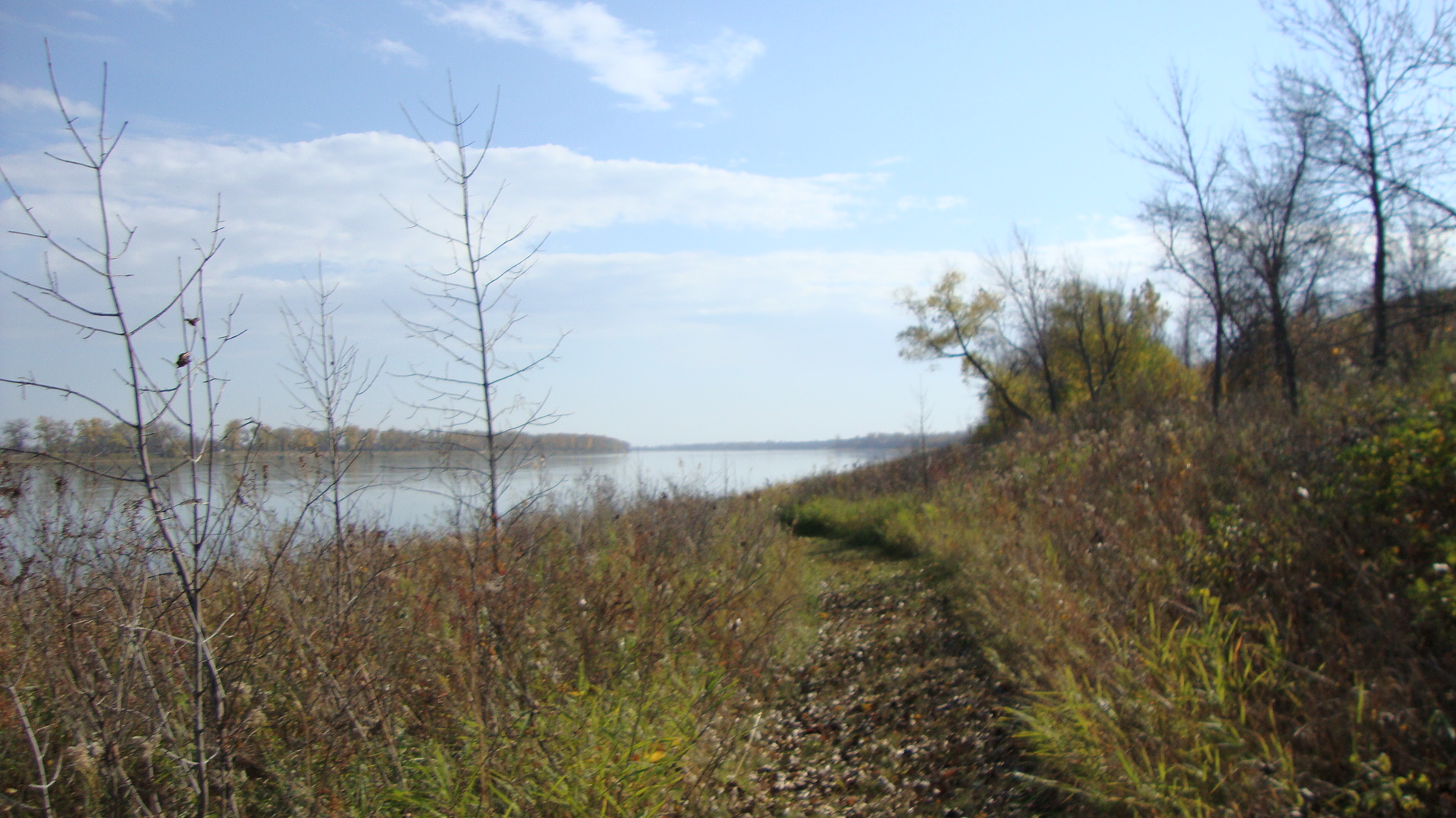
 Missouri River in the Cross Ranch State Park
Cross Ranch State Park is a rural park located in Oliver County, North Dakota. Located on the Missouri River southwest of Washburn, the park consists of 589 acres (2.38 km2) of land, and 70 camp sites.[1]
Notes
Coordinates: 47°12′51″N 100°59′58″W / 47.21417°N 100.99944°W
National Parks: National Historic Sites: National Wildlife Refuges: Appert Lake • Ardoch • Arrowwood • Audubon • Bone Hill Creek • Brumba • Buffalo Lake • Camp Lake • Canfield Lake • Chase Lake • Cottonwood Lake • Dakota Lake • Des Lacs • Florence Lake • Halfway Lake • Hiddenwood • Hobart Lake • Hutchinson Lake • J. Clark Salyer • Johnson Lake • Kellys Slough • Lake Alice • Lake George • Lake Ilo • Lake Nettie • Lake Otis • Lake Patricia • Lake Zahl • Lambs Lake • Little Goose • Long Lake • Lords Lake • Lost Lake • Maple River • McLean • Pleasant Lake • Pretty Rock • Rabb Lake • Rock Lake • Rose Lake • School Section Lake • Shell Lake • Sheyenne Lake • Sibley Lake • Silver Lake • Slade • Snyder Lake • Springwater • Stewart Lake • Stoney Slough • Storm Lake • Stump Lake • Sullys Hill National Game Preserve • Sunburst Lake • Tewaukon • Tomahawk • Upper Souris • White Lake • Wild Rice • Willow Lake • Wintering River • Wood LakeNational Grasslands: U.S. Wilderness Areas: Federal Other: State Parks and Recreation Areas: Beaver Lake State Park • Cross Ranch State Park • Devils Lake State Parks • Black Tiger Bay State Recreation Area • Grahams Island State Park • Doyle Memorial State Park • Fort Abraham Lincoln State Park • Fort Ransom State Park • Fort Stevenson State Park • Historic Elmwood • Icelandic State Park • Gunlogson Arboretum Nature Preserve • Indian Hills Resort State Recreation Area • Lake Metigoshe State Park • Lake Sakakawea State Park • Lewis and Clark State Park • Little Missouri State Park • Sully Creek State Recreation Area • Shelver’s Grove State Recreation Area • Turtle River State ParkCategories:- North Dakota state parks
- Geography of Oliver County, North Dakota
- North Dakota geography stubs
Wikimedia Foundation. 2010.