- Drovers' road
-

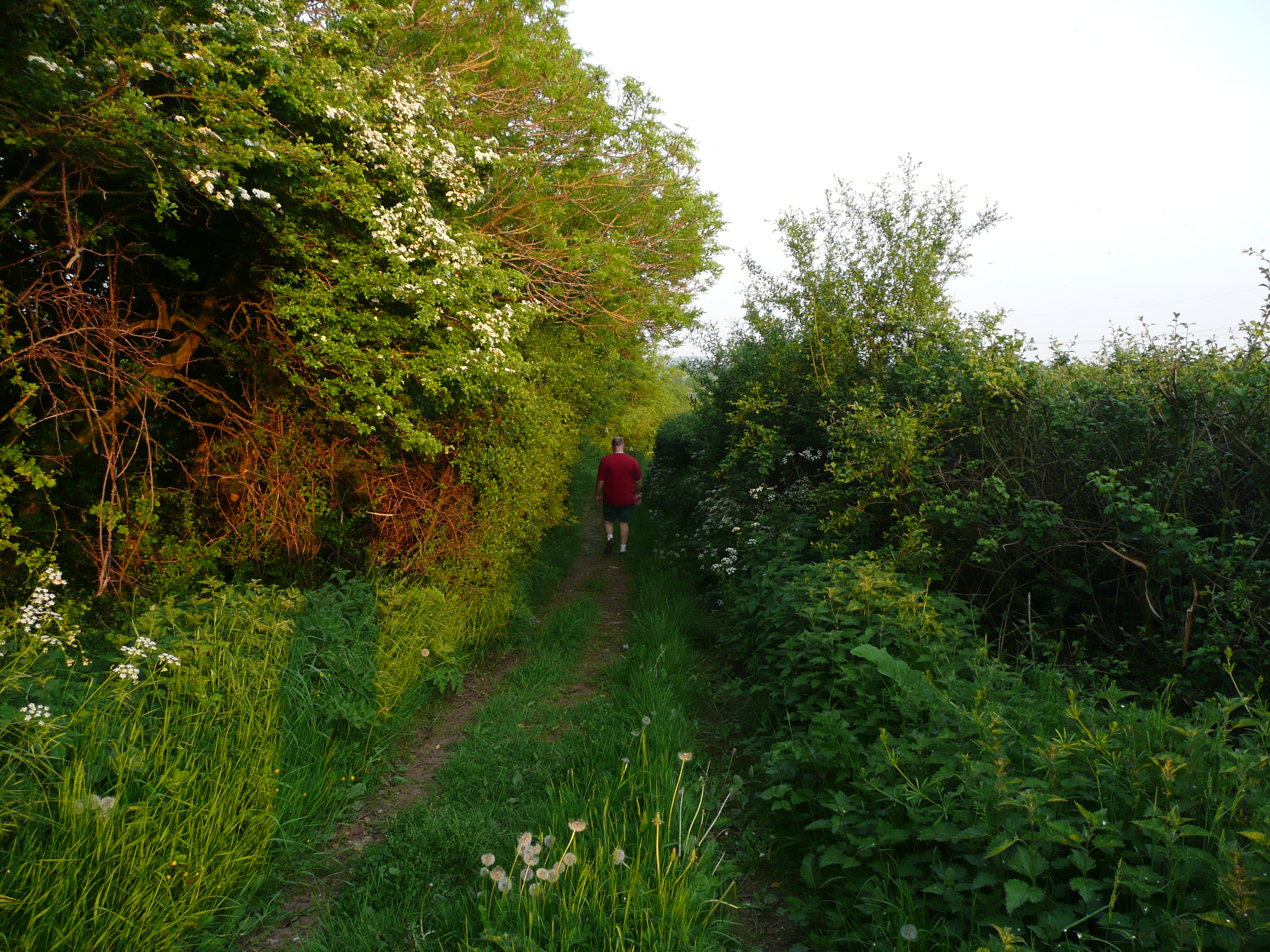
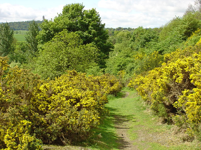
 A section of drover's road at Cotkerse near Blairlogie, Scotland
A drovers' road, drove or droveway is a route for droving livestock on foot from one place to another, such as to market or between summer and winter pasture (see transhumance).[1] Many drovers' roads were ancient routes of unknown age; others are known to date back to medieval or more recent times.
Contents
Description
Drovers' roads are often wider than other roads, able to accommodate large herds or flocks. Packhorse ways were quite narrow as the horses moved in single file, whereas drove roads were at least 40 feet (12 m) and up to 90 feet (27 m) wide.[2] In the United Kingdom, where many original drovers' roads have been converted into single carriageway metalled roads, unusually wide verges often give an indication of the road's origin. In Wales, the start of many droveways, drovers' roads are often recognisable by being deeply set into the countryside, with high earth walls or hedges. The most characteristic feature of these roads is the occasional dog-leg turn in the road, which provided cover for animals and men in severe rain or snow.[citation needed] Some drovers' roads crossed mountains. It is likely that the so-called Roman steps in the Rhinogydd in Wales are an example of a drove road.
Drovers
Drovers (those droving or driving livestock) accompanied their livestock either on foot or on horseback, travelling substantial distances. Rural England, Wales and Scotland are crossed by numerous drove roads that were used for this trade, many of which are now no more than tracks, and some lost altogether. The word "drover" is used for those engaged in long distance trade – distances which could cover much of the length of Britain or other world regions where droving was used – while "driver" was used for those taking cattle to local markets.[citation needed] Drovers used dogs to help control the stock, and these would sometimes be sent home alone after a drove, retracing their outward route and stopping at the same places; the drover would pay for their food in advance on the outward journey.[citation needed]
Controlling herds of three or four hundred animals on narrow roads, keeping them healthy, and feeding them en route over several weeks or months required expertise and authority. There was licensing under the legislation, introduced in 1563, intended to control '"badgers" of grain and drovers of cattle, although it seems to have been less rigorously applied to drovers. They were also exempted from the Disarming Acts of 1716 and 1748, which were passed after Jacobite uprisings. They were not necessarily literate but were respected as experts in their trade.
Early history
Some form of drovers' roads existed in Romano-British times[citation needed] and certainly throughout the Early Middle Ages. For example, the old east-west drovers' road connecting the Dorset/Exeter region with London and thence Suffolk is along a similar alignment to the Roman road of the same route.[citation needed] Many lengths of the Welsh Road through the English Midlands coincide with manorial or parish boundaries, suggesting that it predates them and probably had pre-Roman origins as an ancient trackway.[3]
Medieval drovers' roads
In Great Britain, Drove as a placename can be traced to the early 13th century, and there are records of cattle driven from Wales to London and sheep from Lincolnshire to York in the early 14th century. Drovers from Scotland were licensed in 1359 to drive stock through England.[4] These may be simply the earliest records of a more ancient trade. There is increasing evidence for large-scale cattle-rearing in Bronze Age and Iron Age Britain. Cattle and sheep were part of the Romano-British economy. By the Anglo-Saxon period there was long distance movement of cattle, including stolen stock.
What is certain is that during the medieval period there was a substantial trade in cattle out of Wales into England, to which cattle from Ireland were added. These were driven across Somerset, Wiltshire[5] and Berkshire to feed the growing population of London. The drovers made use of ancient ridgeways, including the Ridgeway over the Berkshire Downs and ridgeways still known as the Old Shaftesbury Drove and the Ox Drove leading from Shaftesbury and Blandford to Salisbury.[6]
Medieval drovers' roads were wide by medieval standards, 20 meters across, with wide grazing verges on either side, the "long acre".[7]
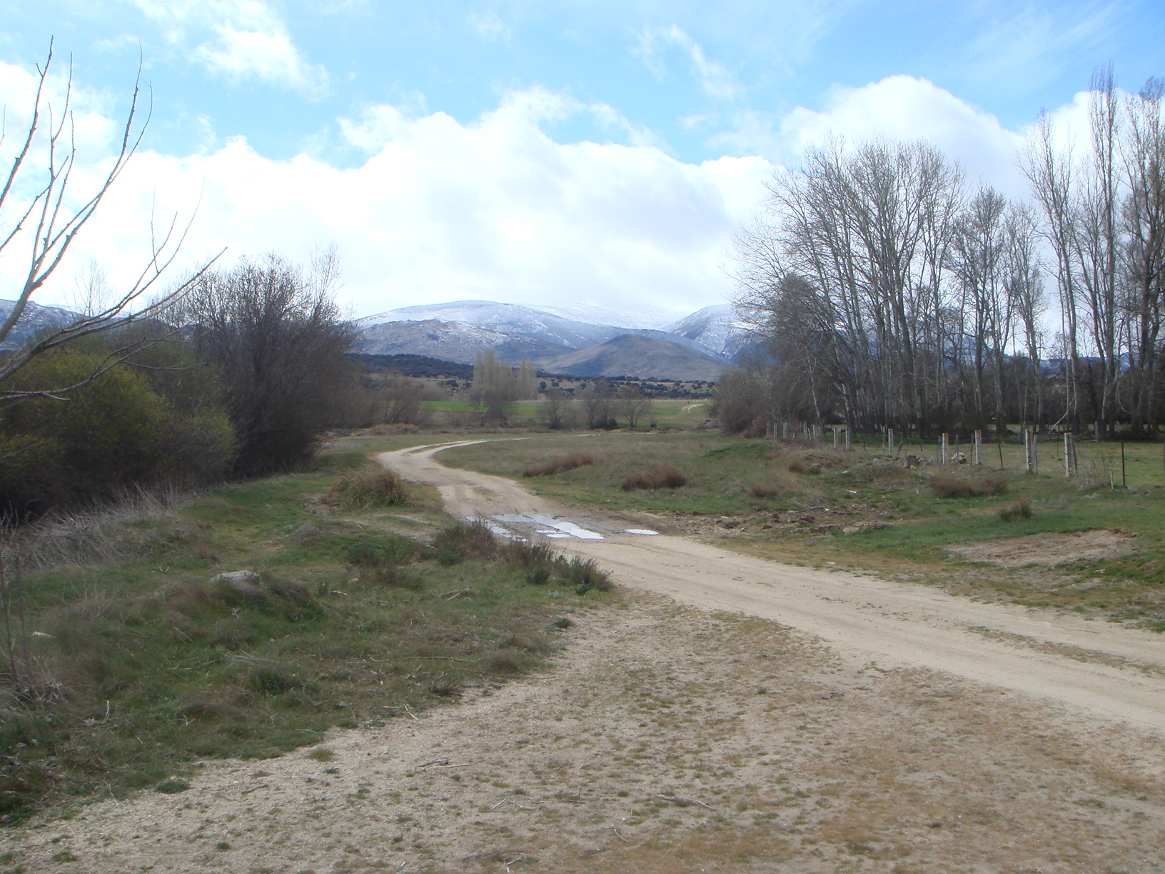
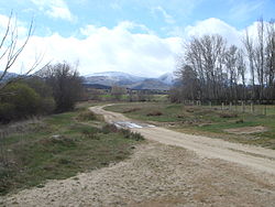 Cañada Real Leonesa Occidental in Province of Ávila, Spain
In medieval Spain the existence of migratory flocks on the largest scale, which were carefully organized through the system of the Mesta gave rise to orderly drovers' roads, called cabañeras in Aragon, carreradas in Catalonia, azadores reales, emphasizing royal patronage, in Valencia, and most famous of all, cañadas, including three majorcañadas reales, in Castile.[8] Along these grazing trackways sheep travelled for distances of 350 to 450 miles, to the summer pasturages of the north, around León, Soria, Cuenca and Segovia, from the middle of April, and returning to winter pasturage in La Mancha, Estremadura, Alcántara and the lowlands of Andalusia.
In Languedoc the transhumance pathways, more restricted by agriculture and orchards and less organized than those of Iberia, were the drailles that fed into the main carraïres, which led from coastal plains to summer mountain pastures. They are documented from the 13th century and were organized in the 16th century by Statuts de la transhumance.[9]
In the Kingdom of Naples, patterns of transhumance established in Late Antiquity were codified by Frederick II Hohenstaufen, but the arrival of rulers of Aragon in the 15th century saw the organization of sheepways, tratturi delle pecore on the Aragomese model, and pastoralists were given privileges and restrictions, collectively termed the dogana, that were reminiscent of those of the Mesta. This established drovers' roads that continued without substantial change into the age of the railroad.[10]
17th century onwards
By the 17th century Daniel Defoe described Smithfield, in London, as the greatest meat market in the world. In 1855 it was moved to the outskirts of the city, to a site known as the Caledonian Market on Caledonian Road, Islington, to avoid the problems of large numbers of stock being driven through the streets. Cattle were also driven to other major cities, to areas of intermediate grazing to be fattened for market, and to markets and fairs. Many of the greatest stock fairs, such as Tan Hill, Yarnbury and White Sheet in Wiltshire, were held on ancient sites to which cattle were driven for centuries, perhaps since prehistoric times.
Geese, turkeys, pigs, and horses were also driven to markets, and in large quantities to London. Cattle were fitted with iron shoes, geese were fitted with boots to protect their feet, and the feet of turkeys were tarred and sanded.[11] Daniel Defoe recorded that 150,000 turkeys were driven from East Anglia to London each year, the journey taking three months to complete.[11] There is a record[Full citation needed] of a wager in 1740 on whether geese or turkeys would travel faster – the winner being the geese which could graze as they moved, while the turkeys had to stop to be fed.
The regularity of the Welsh trade across Wiltshire is proved by an inscription in Welsh on a cottage at Stockbridge, still visible in the twentieth century: "Satisfactory hay, sweet pasture, good ale and a comfortable bed".
Much of the trade in cattle from Wales to London was done on letters of credit. In 1706 the law was changed specifically to prevent drovers escaping their debts by declaring themselves bankrupt. The trade promoted the development of banking systems in both London and Wales. One drover set up his own Black Ox Bank in Llandovery in 1799,[2] which survived until 1909 when it was taken over by Lloyds Bank.
Decline of droving
Droving declined during the nineteenth century, through a combination of agricultural change, the introduction of railway transport from the 1840s, cattle disease, and more intensive use of the countryside through which the stock had passed for hundreds of years. For example, importation of cattle from Donaghadee in Ireland to Portpatrick, which would then be driven through Wigtownshire, had reached 20,000 per year in 1812, but fell to 1,080 in 1832, because they came by steamer directly to ports at Liverpool and Glasgow instead.[12]
The last recorded large-scale cattle drove across Wales was in 1870,[13] and of sheep in 1900, although droving briefly revived during the rail strike of 1912. In Scotland, the last drove over the Corrieyairack Pass is believed to have taken place in 1906.[13] Corrieyairack Pass had also been used by droves of cattle and sheep from the Isle of Skye; the last drove from Skye to use the pass occurred in the closing years of the 19th century.[14]
America
Cattle drives in North America by American cowboys and South American cattle drivers are similar in nature, although distances were often greater; like most routes they started out by following a general geographic route before becoming roadways.
See also
- Cattle drives in the United States
- Drover (Australian)
- Esker Riada
- Long acre (road verge)
- Slíghe Chualann
- Stock route, roads specified for stock movement in Australia
References
Notes
- ^ K.J. Bonser, "The Drovers", London, 1970
- ^ a b Addison (1980), Pp. 70-78.
- ^ Duignan, William Henry (1912). Warwickshire place names. Oxford University Press. pp. 122–123. http://books.google.com/?id=zzgjAAAAMAAJ. Retrieved 2009-09-02
- ^ Official Publication (1825). Rymer, Foedera, III, Record Comm.Edn., 1825, III, part 1, 415. Quoted in Haldane (1997), P 11.
- ^ K.G. Watts, Droving in Wiltshire, Trowbridge Publishing (1990)
- ^ "Victoria County History of Wiltshire Volume 11". Bishopstone. pp. 3–19. http://www.british-history.ac.uk/report.aspx?compid=115482.
- ^ M.L. Ryder, "Late medieval transhumance in Western Europe" in Angus MacKay, David Ditchburn, Atlas of Medieval Europe, 1997:219ff.
- ^ H.C. Darby, "The face of Europe on the eve of the great discoveries", in The New Cambridge Modern History vol. I, 1957:29ff: the section on Spain's medieval drovers' roads depends on Darby.
- ^ Ryder 1997:220.
- ^ Darby 1957:31; Angus MacKay, David Ditchburn, Atlas of Medieval Europe 1997:220 map of transhumance trackways in later medieval western Europe.
- ^ a b Haldane (1997) p 34.
- ^ Haldane (1997), Chapter 12: The Decline of the Drove Roads.
- ^ a b Hindle (1993), Chapter 6: Drove roads and packhorse tracks.
- ^ Haldane (1997), P. 221.
Bibliography
- Addison, Sir William (1980). The Old Roads of England. London: B.T. Batsford Ltd. ISBN 0-7134-1714-5.
- Haldane, A.R.B. (1997). The Drove Roads of Scotland. Edinburgh: Birlinn Limited. ISBN 1-874744-76-9.
- Hindle, Brian Paul (1993). Roads, Tracks and their Interpretation. London: B.T. Batsford Ltd. ISBN 0-7134-6598-0.
Further reading
- Bettey, J.H. (1983). "Livestock Trade in the West Country during the Seventeenth Century", In Proceedings of the Somerset Archaeological and Natural History Society, vol. 127, (1983), p. 123.
- Godwin and Toulson (1977). The Drovers' Roads of Wales. London: Wildwood House.
External links
- Droving at the Border Collie Museum
- Cattle drovers
- The Telford Drove Story, oral history of a 40 mile (63.4 km) cattle drove in 1943
- www.geograph.co.uk: photographs of Drover's roads today
- Photograph of two drovers taken in Montgomery in 1885, from Gathering the Jewels
Categories:- Historic trails and roads in the United Kingdom
- Pastoralists
- Types of roads
Wikimedia Foundation. 2010.