- Old Kent Road
-
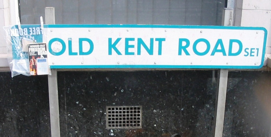
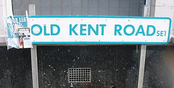 Old Kent Road street sign.
The Old Kent Road is a road in South East London, England and forms part of Watling Street, the Roman road which ran from Dover to Holyhead. The street is famous as the equal cheapest property on the London Monopoly board and as the only one in South London.
Contents
History
Chaucer's pilgrims travelled along this route from London and Southwark on their way to Canterbury. At what is the junction with the presently named Shornecliff Road was the bridge crossing of 'St Thomas-a-Waterings', over a small brook, which marked a boundary in the Archbishop of Canterbury's authority of the nearby manors in Southwark and Walworth. The landmark pub, nearby, the 'Thomas a Becket', derives its name from this connection. As such it was a place of execution for criminals whose bodies were left in gibbets at this spot, the principal route from the south-east to the City of London. The fate of burning to death or hanging, drawing and quartering of religious dissenters, both Catholic and Protestant, also occurred here. The Catholics John Jones in 1598 and John Rigby in 1600 met their end here.
The same point was regarded as the limit of the City of London's authority, from 1550, there being a boundary stone set into the wall of the old Fire Station there stating this.
The London City Fire Brigade had its 'Thomas Street' fire station placed at the corner site. This was subsumed into the London Fire Brigade from its formation and in 1905 the LCC erected the present building. This was in turn replaced by the modern station on the corner of nearby Coopers Road.
The development of the coal gas utility services was undertaken at the Metropolitan Gas Works, the gasometers remain, principally by the Livesy family. Their local benefactions are Christchurch Church of England and the Livesey Museum for Children, opposite the gas works.
The road once gave its name to a railway station Old Kent Road near New Cross which closed in 1917.
Geography
Although the name appears as simply "Old Kent Road" on maps, it is usually referred to by Londoners as "the Old Kent Road". The Old Kent Road runs from the Bricklayers' Arms roundabout, where it meets the New Kent Road, Tower Bridge Road, and Great Dover Street, to New Cross Road, which begins a little to the east of the mainline railway bridge which is often mistaken as the point of the junction, and the change in street-name is coincident with the border with Lewisham borough. It is regarded as forming the boundary between Walworth, Camberwell and Peckham to the south and Bermondsey to the north although the ancient parish and vestry boundaries of these do not in fact coincide with it, the Bermondsey boundary running along Rolls Road.
Urban Redevelopment
Apart from piecemeal residential schemes very little change along this route was made until the late 1960s with the London County Council plan of 'Lungs for Londoners' led to the creation of new open spaces and public parks by demolition of heavily urbanised areas; the eastern entrance to one of these, Burgess Park, is also located here at the junction with Albany Road.
General population decline has led to almost all of the pubs being converted to other uses since the mid 80s: from west to east, 'The World Turned Upside Down' (flats), 'The Frog and Nightgown' (planning agreed for apartments and retail), 'The Dun Cow' (GP Surgery), 'The Green Man' (Restaurant), the 'Duke of Kent' (Mosque); the 'Henry Cooper' (derelict), the 'Drovers Arms' (flats) and the 'Canterbury Arms' (derelict). This leaves just the 'Lord Nelson' and 'Thomas a Becket' still trading along the entire length of route.
Since 1985 the planning regime has encouraged large retailers and retail parks to be developed over older properties which were classic examples of ribbon development whereby residential properties front gardens and/or ground floor areas took advantage of footfall and were converted to shop units. As of 2011 there are now many high street multiples and hyper markets joining these smaller units along its route including Asda, Argos, Halfords, Tesco, Comet, Currys/ PCWorld, B&Q, Toys R Us, Aldi, Lidl and others.
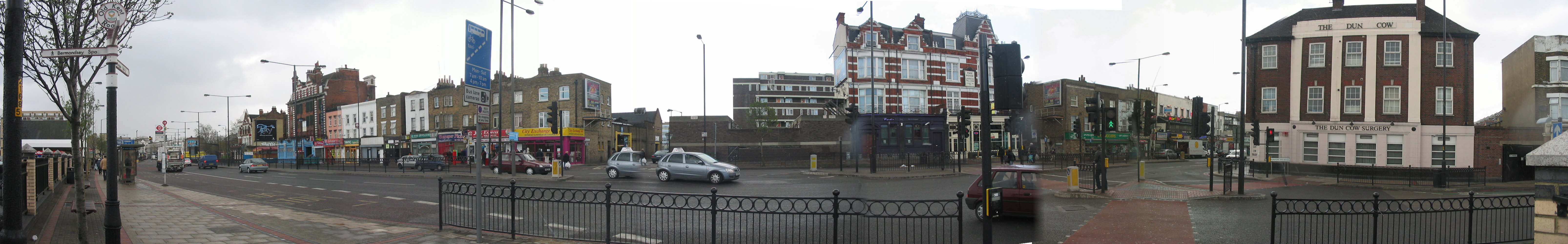
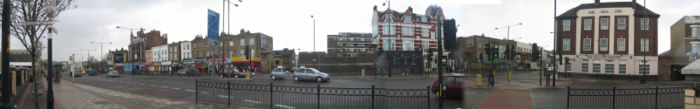 Panoramic view of Old Kent Road at Dunton Road; from far left to far right: the 'Thomas a Becket', the old Fire Station, a range of ribbon properties dating from 1784, the old Green Man and the Old Dun Cow
Cultural references
- After suffering an attack of amnesia, the main character of George Orwell's A Clergyman's Daughter, Dorothy Hare, finds herself alone on Old Kent Road.
- In A Little Princess Shirley Temple sings a song titled "Knocked 'em in the Old Kent Road" by Albert Chevalier, of which the chorus gives a good idea of the sort of language that was used in the area: NB Albert Chevalier was the original performer of this song. Music and Lyrics are by Charles Ingle.
"Wot cher!" all the neighbours cried
"'Oo yer gonna meet, Bill
'Ave yer bought the street, Bill"?
Laugh? — I fort I should've died
Knocked 'em in the Old Kent Road![1]- The street is juxtaposed against Park Lane as a potential place of reference in Nick Hornby's book, High Fidelity.
- The street is mentioned multiple times in the Madness song "Calling Cards", a song about running an illegitimate business "in a sorting office in the Old Kent Road."
- In 1985, the BBC's Arena strand included a documentary about the Old Kent Road. It is available to watch on YouTube[2].
- It's also mentioned in the Girls Aloud song "Long Hot Summer," in the line "running down that Old Kent Road" and the Bananarama song "Middle of Nowhere," both written by production outfit Xenomania.
- "Old Kent Road" is the title of a song by London-based indie pop group Pipas.
- Old Kent Road is the name of an Australia hardcore punk band.
References
Categories:- Streets in Southwark
Wikimedia Foundation. 2010.