- Magnetawan River
-
Magnetawan River 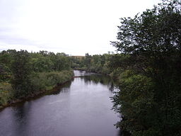
Country  Canada
Province  Ontario
District Parry Sound District Source Magnetawan Lake - location Algonquin Provincial Park, Nipissing District - coordinates 45°39′45″N 78°59′12″W / 45.6625°N 78.98667°W Mouth Byng Inlet (Georgian Bay) - location Britt, Parry Sound District - coordinates 45°46′22″N 80°30′25″W / 45.77278°N 80.50694°W Length 175 km (109 mi) The Magnetawan River is a river in Parry Sound District, Ontario, Canada, which flows 175 km from Magnetawan Lake inside Algonquin Provincial Park to empty into Georgian Bay at the community of Britt on Byng Inlet.
At the end of the 19th century, the river was used to float white pine logs to sawmills downstream. The river gained recent renown when it was featured in Bill Mason's film Waterwalker.
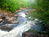
The River has numerous rapids, such as, "The Thirty Dollar Rapids", "The Fourteen", "The Ten", the "Potato Rapids", "Poverty Bay Chutes", and "Cody Rapids".
The town of Magnetawan is located on the river between Lake Cecebe and Ahmic Lake. Locks were built here on the river to allow steamboats to travel further down the river from the railway station at Burk's Falls. The locks officially opened on July 8, 1886 and are still in use today.[1]
The name of the river means "swiftly flowing waters[2]" in the Ojibwa language.
There is also a Reserve with the name Magnetawan First Nation, the same name as the river. The Reserve is situated on the river just east of Byng Inlet.
Canoe routes
The Magnetawan River also provides great canoe routes for novice and more experienced canoe tripping. Canadian Canoe Routes lists three Magnetawan River Canoe Routes:
- Magnetawan River South Branch (35 km)
- Magnetawan River North Branch (43 km)
- Magnetawan River Loop No.2 (80 km)
-
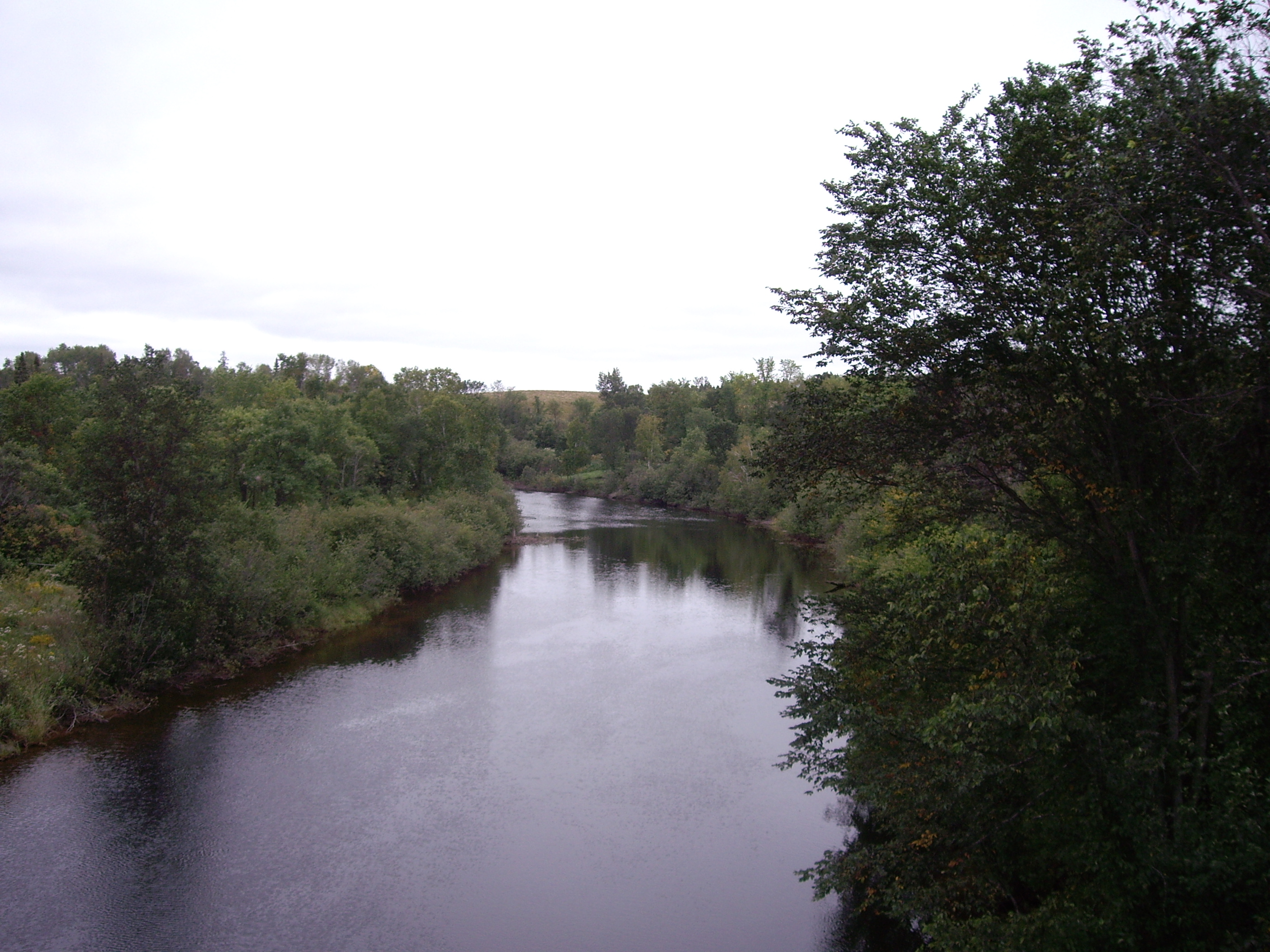
Upper Magnetawan
-
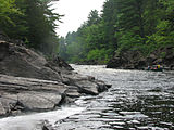
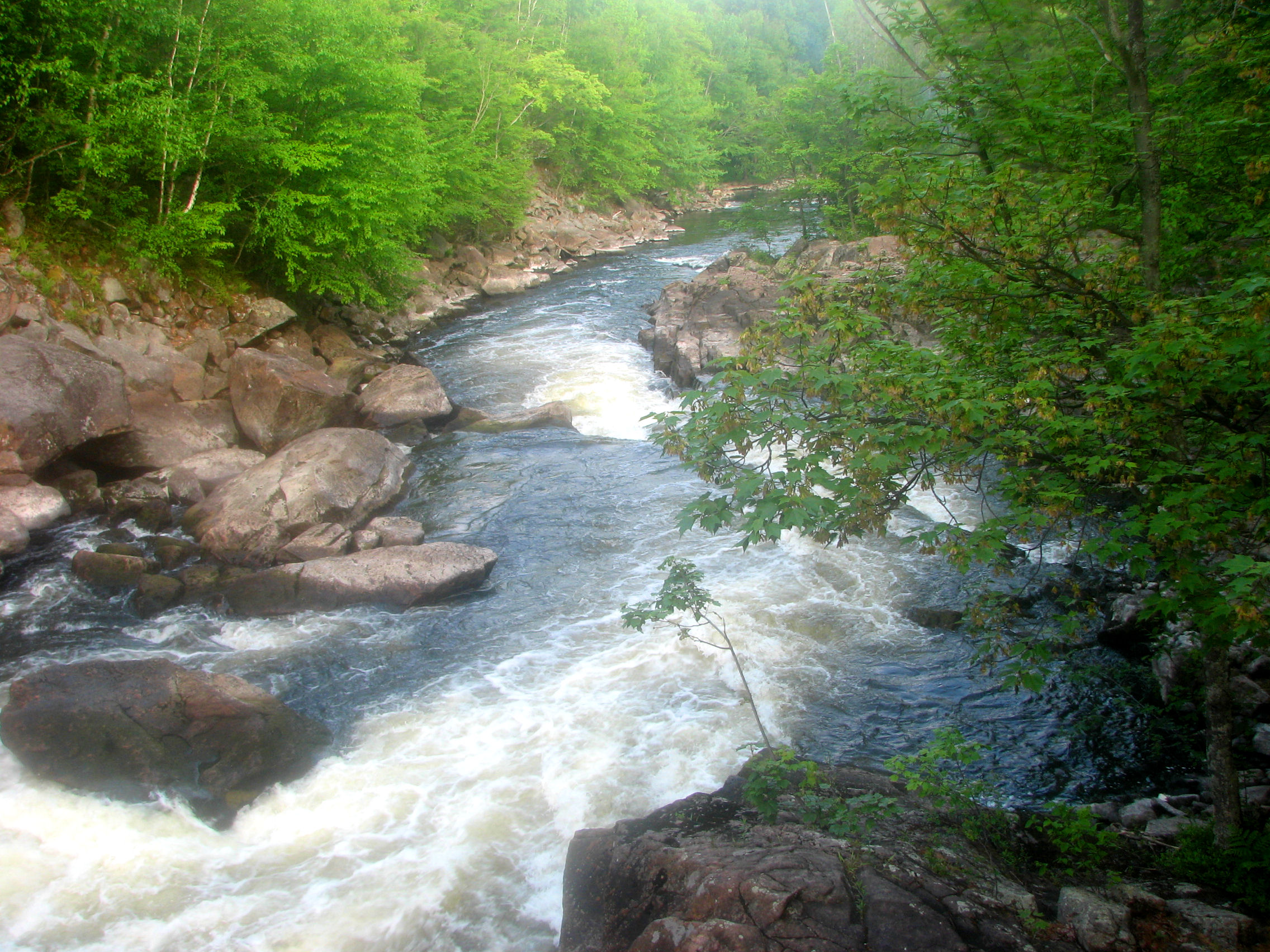
Canoers on Upper Magnetawan River
-
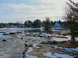
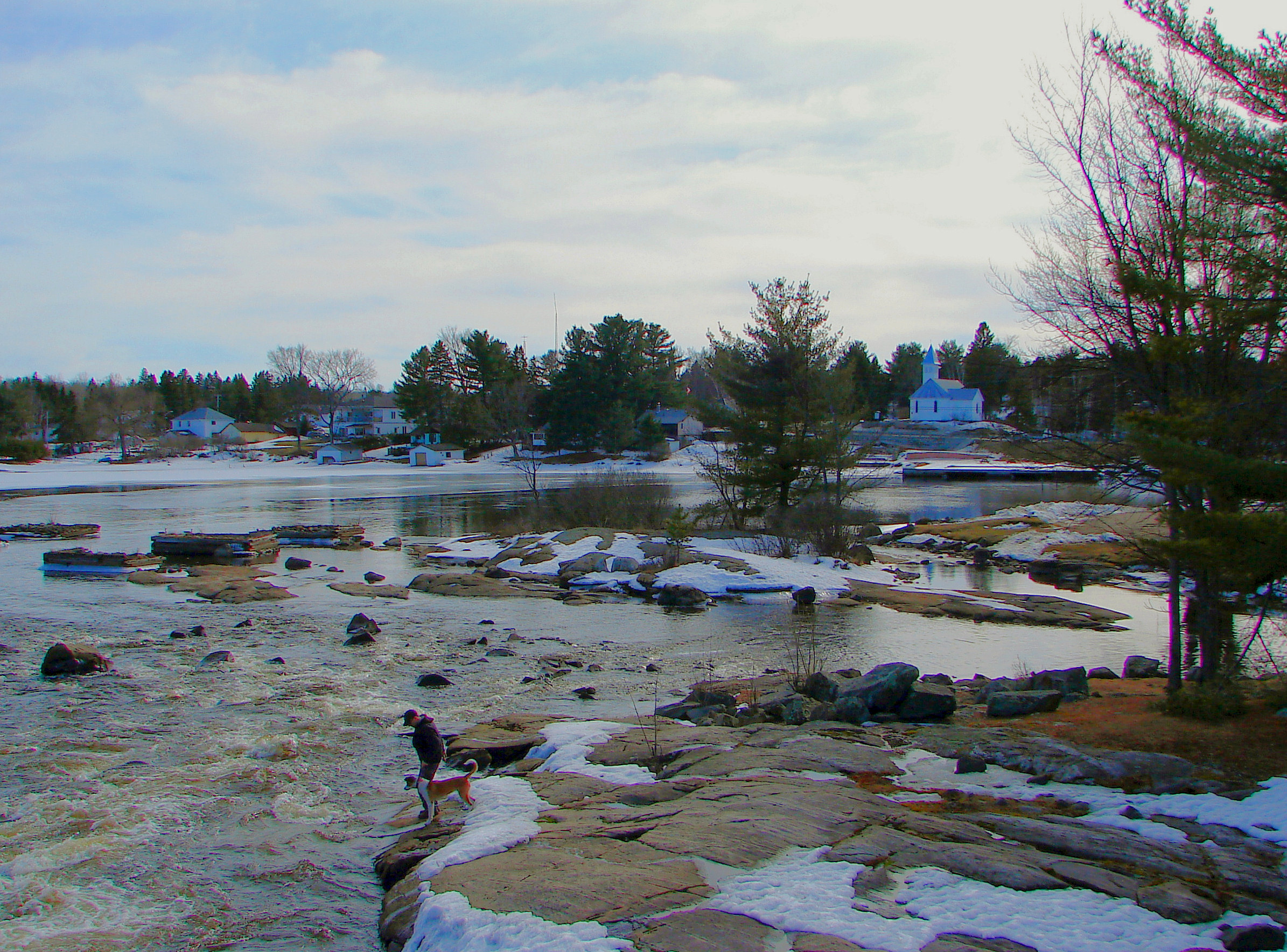
Magnetawan River flowing through Magnetawan
References
External links
Categories:- Rivers of Ontario
- Geography of Parry Sound District, Ontario
- Tributaries of Lake Huron

Wikimedia Foundation. 2010.