- Mount Tarn
-
Monte Tarn 

Snowy ascentElevation 825 m (2,707 ft) Location Location 70 km south of Punta Arenas, Chile Range Andes Coordinates 53°47′07″S 71°01′25″W / 53.78528°S 71.02361°WCoordinates: 53°47′07″S 71°01′25″W / 53.78528°S 71.02361°W Climbing First ascent February 1827 by John Tarn 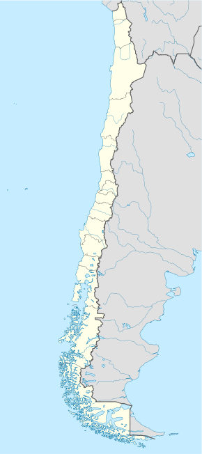
 Mount TarnLocation in Chile
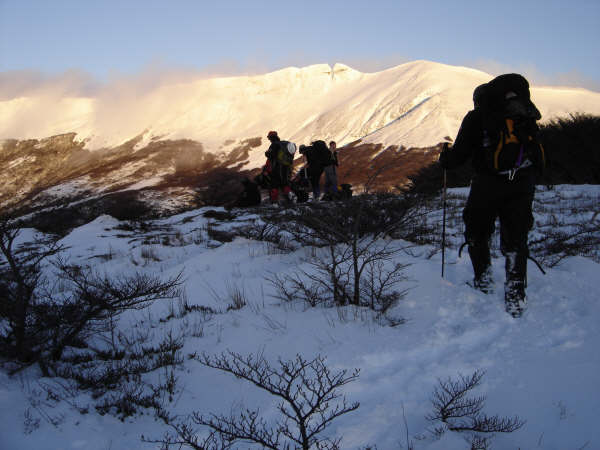
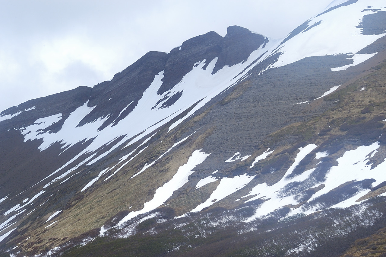
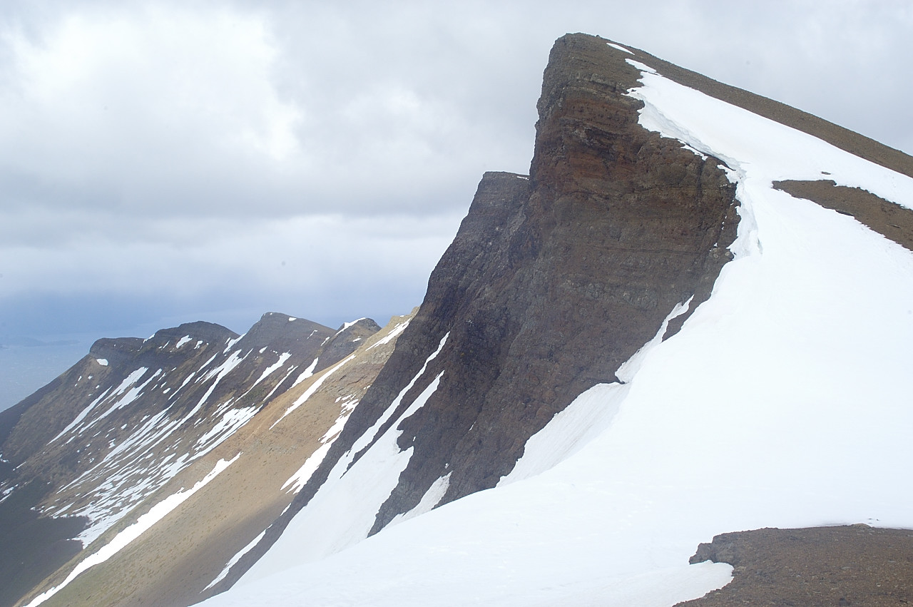
Mount Tarn is a small mountain located on the southernmost part of the Strait of Magellan, in Brunswick Peninsula, about 70 km south of Punta Arenas, Chile. It is in the southern extreme of continental Chile very close to Cape Froward, surrounded by historic places such as Fort Bulnes and Puerto del Hambre (Port Famine).
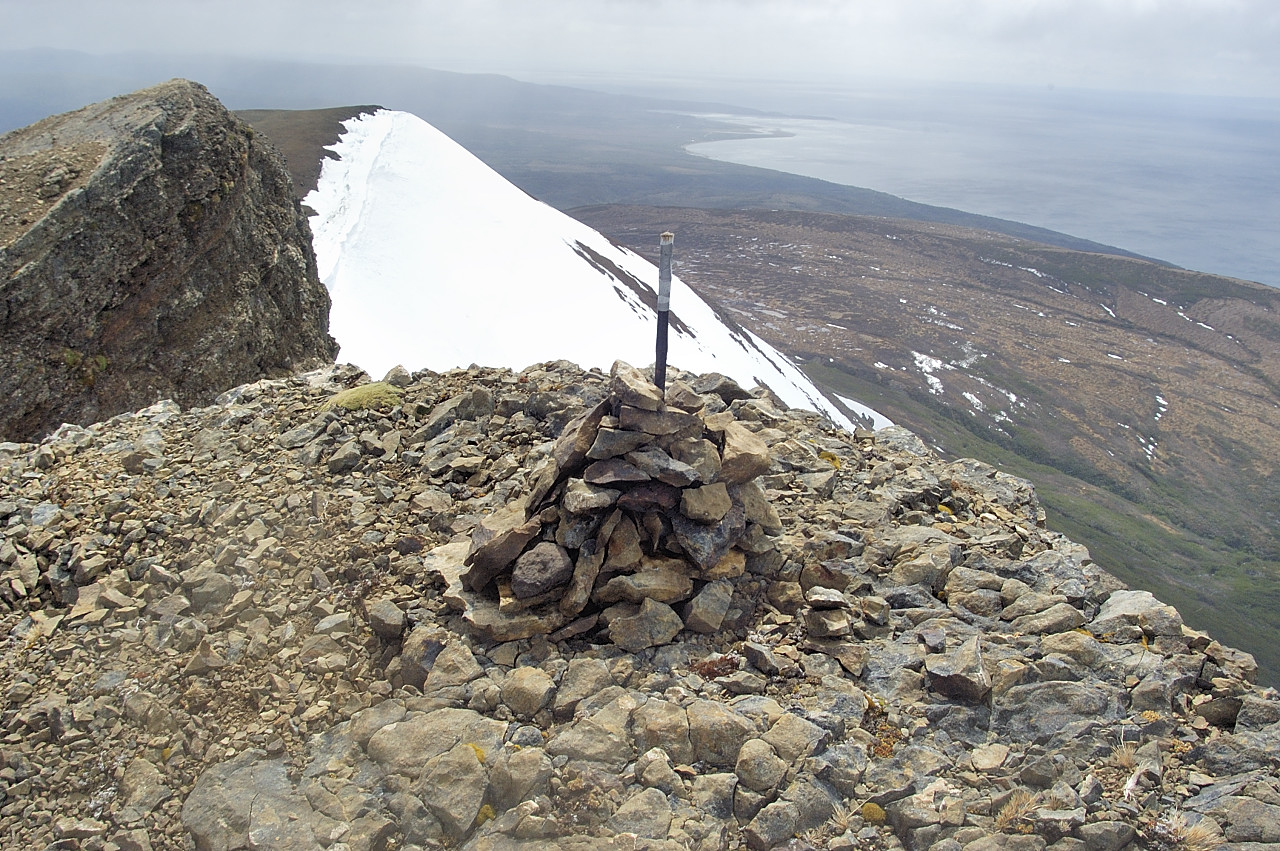
From the summit it is possible to see the Strait of Magellan, Dawson and Tierra del Fuego islands, and many other smaller ones; the Darwin Mountain Range, Mount Sarmiento, and most of the Brunswick Peninsula.
Contents
Toponimia
According to lawyer and historian, Mateo Martinic Beros in his book Cartografía Magallánica 1523-1945, the mount was named after the British surgeon, John Tarn , who first ascended the mountain in February, 1827 while traveling with Robert FitzRoy on HMS Adventure, and later, while traveling with Phillip Parker King in HMS Beagle), during their surveying voyage from 1826 to 1830. Since then, others with a Tarn connection have ascended the mountain, most notably Nigel Tarn, of Sandy Beds.
Tarn participated in a hydrographic survey conducted in the area, through the collection and classification of flora and fauna species.
Darwin's ascent
On 6 February 1834 a group from the second Beagle survey expedition, including Charles Darwin, ascended Mount Tarn by forcing their way up through dense woodland to the bare ridge which took them to the summit.[1] He recounted the story in his Journal and Remarks.[2] In his ascent the young naturalist found the first ammonites ever known in South America.
See also
- Magallanes Province
- Magallanes Region
- Parrillar lagoon
- San Juan river
- San Isidro lighthouse
- Cape Froward.
References
- ^ Darwin 2006, pp. 420–421
- ^ Darwin 1839, pp. 265–266
- Instituto Geográfico Militar Chart, Chile: Rinconada Bulnes, scale 1:100000, Section L, 1987.
- Darwin, Charles (1839), Narrative of the surveying voyages of His Majesty's Ships Adventure and Beagle between the years 1826 and 1836, describing their examination of the southern shores of South America, and the Beagle's circumnavigation of the globe. Journal and remarks. 1832-1836., III, London: Henry Colburn, http://darwin-online.org.uk/content/frameset?itemID=F10.3&viewtype=text&pageseq=1, retrieved 2009-02-25
- Darwin, Charles (2006), "EHBeagleDiary (English Heritage 88202366)", Darwin's Beagle diary (1831-1836), Cambridge: Darwin Online, http://darwin-online.org.uk/content/frameset?itemID=F10.3&viewtype=text&pageseq=1, retrieved 2009-02-25
- King, P. P. (1839), FitzRoy, Robert, ed., Narrative of the surveying voyages of His Majesty's Ships Adventure and Beagle between the years 1826 and 1836, describing their examination of the southern shores of South America, and the Beagle's circumnavigation of the globe. Proceedings of the first expedition, 1826-30, under the command of Captain P. Parker King, R.N., F.R.S., I, London: Henry Colburn, http://darwin-online.org.uk/content/frameset?itemID=F10.1&viewtype=text&pageseq=1, retrieved 2009-01-27
- Biogeografía del monte Tarn, Magallanes, Chile. Trabajo final de carrera, ETSIAM, Universidad Politécnica de Valencia. Escuela técnica superior de ingenieros agrónomos. Ingeniería de Montes, especialidad Ingeniería del Medio Natural. Universidad de Magallanes. Facultad de Ciencias. Sergio Navarro Cano y Javier González. 2006
- Cartografía Magallánica 1523-1945, Mateo Martinic Beroš, 1999, Punta Arenas, Chile. ISBN 956-7189-07-2.
External links
- Mount Tarn Description & Route in AndesHandbook (in Spanish)
- Tarn ascent in blogger.com (in Spanish)
Photo gallery
Categories:- Mountains of Chile
- Geography of Magellan and Chilean Antarctica Region
- Magellan and Chilean Antarctic Region geography stubs

Wikimedia Foundation. 2010.