- Mount Field National Park
-
Mount Field National Park
 IUCN Category II (National Park)
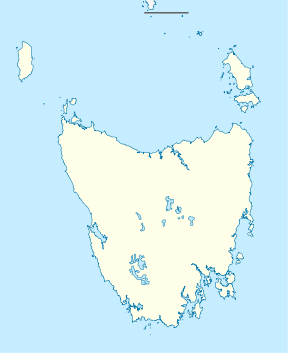
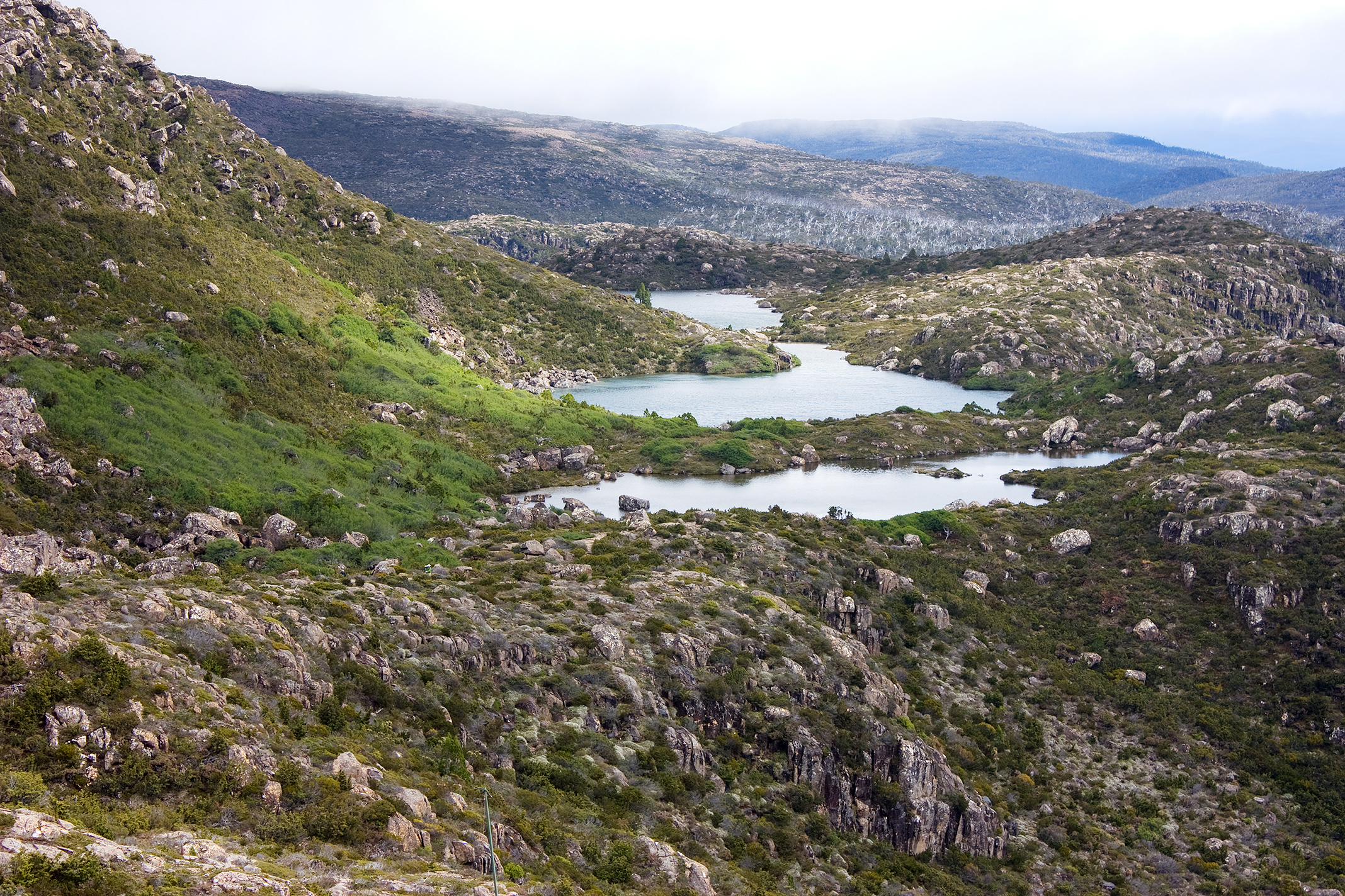
Nearest town/city Maydena Coordinates 42°39′19″S 146°35′15″E / 42.65528°S 146.5875°ECoordinates: 42°39′19″S 146°35′15″E / 42.65528°S 146.5875°E Area 162.65 km2[1] Established 1916 Managing authorities Tasmania Parks and Wildlife Service Official site Mount Field National Park  Robert Tarn, Mackenzie Tarn and Johnston Tarn (foreground to background), Tarn Shelf
Mount Field National Park is a national park in Tasmania, Australia, 64 km northwest of Hobart. The landscape ranges from eucalyptus temperate rainforest to alpine moorland, rising to 1,434 metres (4,705 ft) at the summit of Mount Field West.
Contents
History
Mount Field National Park was founded in 1916, making it, along with Freycinet National Park, Tasmania's oldest national park. The area around Russell Falls has been protected for its natural beauty since 1885, when it was set aside as Tasmania's first nature reserve.[2] The last known wild thylacine was captured in the region in 1933. The reserve was called "National Park" before 1946, but was officially renamed to its present name in 1947.[3]
Geology
During the Pleistocene period a snowfield covered the top of the Mount Field plateau which fed glaciers in the surrounding valleys.[4] A large, 12 km long glacier formed the broad river valley and the cirque walls above Lake Seal.[4] Twisted Tarn, Twilight Tarn and the tarns on the tarn shelf were formed by glacial scouring.[4] A glacier flowed south from the Rodway Range, forming lakes Belcher and Nelton, and north to form the Hayes Valley and Lake Hayes.[4]
In alpine areas podzolic, humus and leached soil is most common. The podzols often occur on deep periglacial solifluction deposits down to 450 m.[4] Alluvial floodplains have developed in the lower park on deposits of quaternary alluvium.[4]
Fauna
The park has good representation of much of native Tasmanian fauna including Wombats, Platypuses, eastern barred bandicoots, echidnas, and the Tasmanian devil.
Accommodation and facilities
There is camping, with powered and unpowered sites at the entrance to the Park, as well as the Government-owned Lake Dobson cabins near the end of the access road within the Park. Several private ski/walking clubs have private huts, and a ski-lodge on the ski slopes has limited accommodation during the skiing season.
Beside the Visitor Centre there are picnic and barbecue facilities, as well as a playground and public toilets.
Activities
From the visitor centre:
 Horseshoe Falls at Mount Field National Park
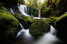
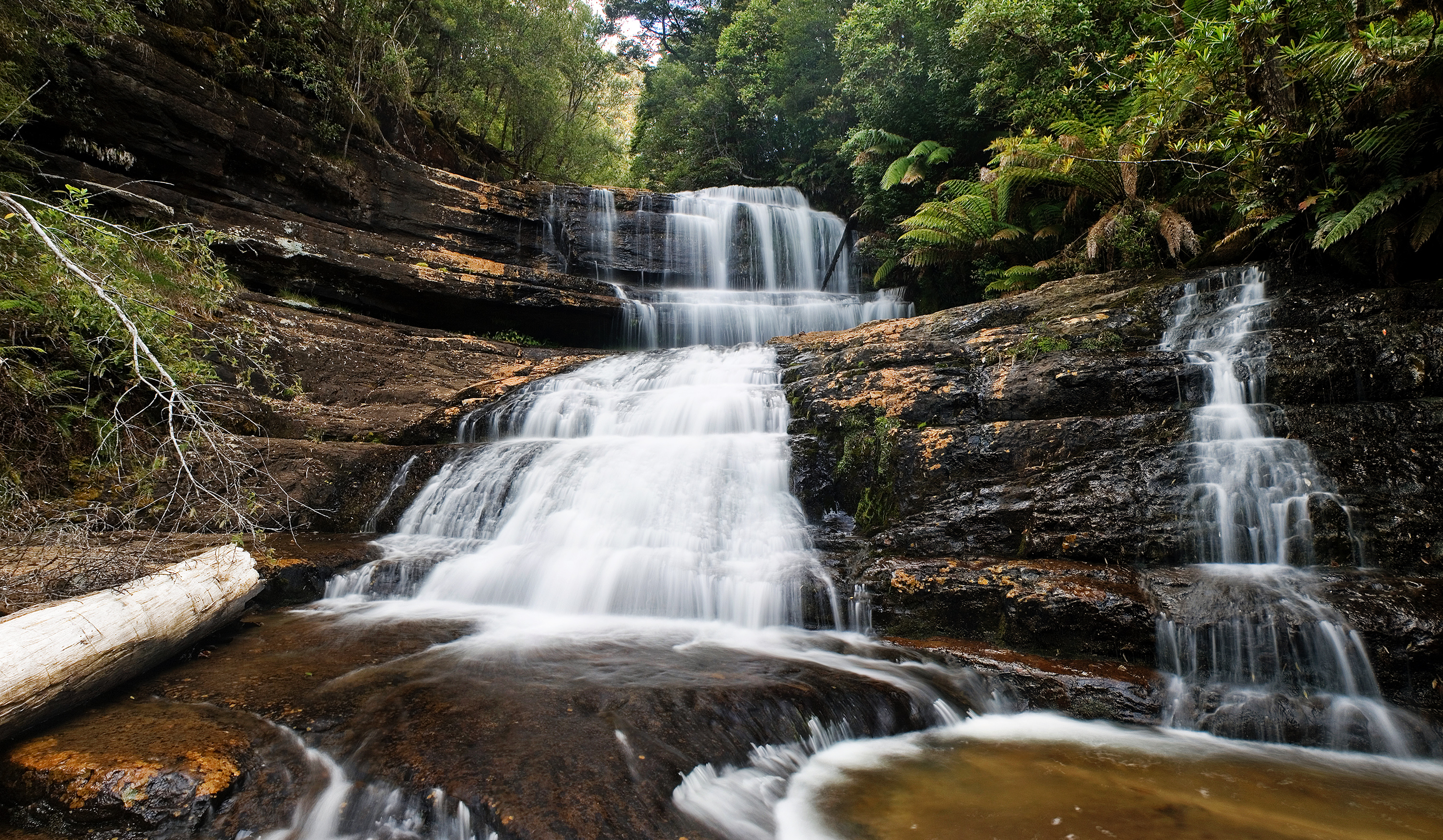
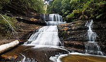 Lady Barron Falls at Mount Field National Park
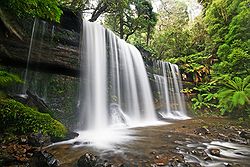
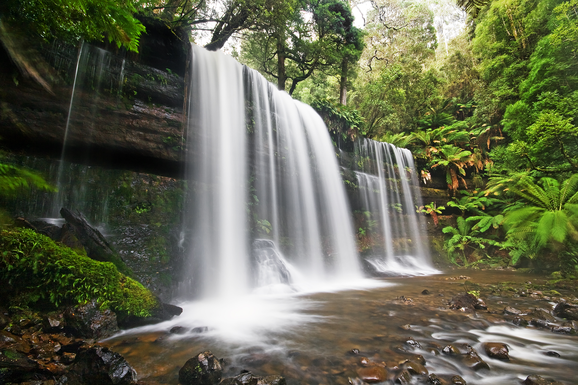
- Russell Falls is an easy, 20 minute return walk on asphalt and boardwalks.
- Horseshoe Falls is a 30 minute walk.
- The Lady Barron Falls circuit (via Russell Falls and Horseshoe Falls) is approximately two hours return.
- Tall Trees Walk is an easy thirty minute walk through the tall swamp gums.
Walks from the Lake Dobson car park include:
- The Ski Lodge and Lake Seal lookout, one hour return.
- Seagers Lookout, two hours return.
- Mount Field East via Lake Nicholls, five hours return.
- Mount Field West, eight hours return.
- Tarn Shelf, Lake Newdegate, Twilight Tarn and Lake Webster circuit, six hours return.
Mount Field National park has one of Tasmania's downhill skiing areas. There are three ski tows, two on Mount Mawson and one on the Rodway range.[5] There is generally sufficient snow cover for skiing from mid July to mid September.
See also
Notes
- ^ "Mount Field National Park". The interactive Tour of Tasmania. http://tourtasmania.com/content.php?id=mtfield. Retrieved 2009-09-24.
- ^ Parks and Wildlife Service, Introduction
- ^ Buckman, Greg (2008). Tasmania's Wilderness Battles: A History. Allen & Unwin. ISBN 174175464X, 9781741754643.
- ^ a b c d e f g "Mt Field National Park: Landforms, Flora and Fauna". Parks and Wildlife Service Tasmania. http://www.parks.tas.gov.au/file.aspx?id=6757. Retrieved 2009-05-12.
- ^ "Southern Tasmania Ski Association". Southern Tasmania Ski Association. http://stsa.webbed.com.au/. Retrieved 2009-06-02.
References
External links
Categories:- IUCN Category II
- National parks of Tasmania
- Protected areas established in 1916
- 1916 establishments in Australia


Wikimedia Foundation. 2010.