- Elizabethtown-Kitley, Ontario
-
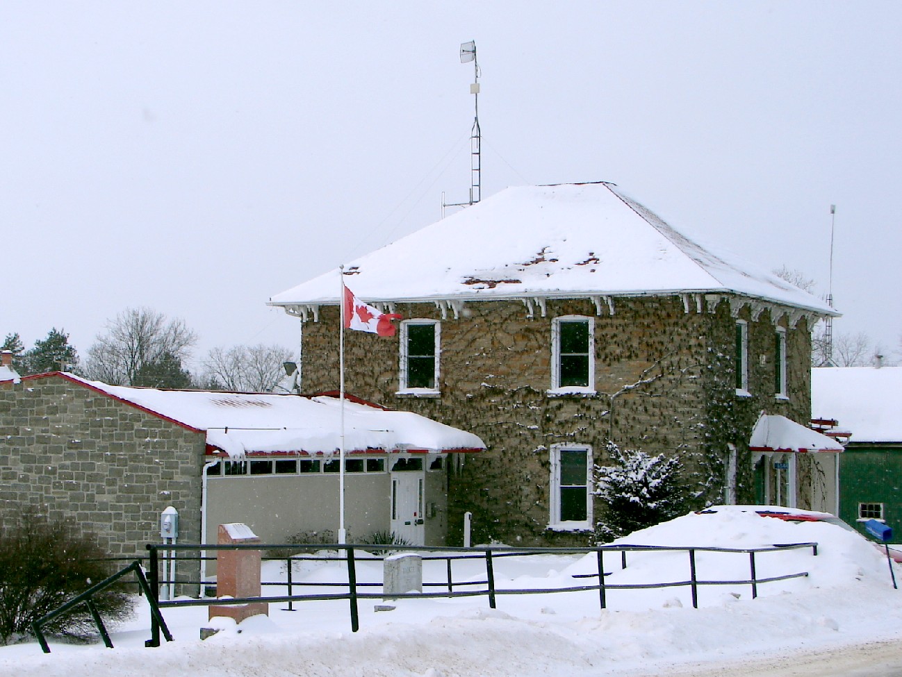
Elizabethtown-Kitley — Township — Township office in New Dublin

 Elizabethtown-Kitley
Coordinates: 44°42′N 75°53′W / 44.7°N 75.883°W Country  Canada
Province  Ontario
County Leeds and Grenville Settled Incorporated Government – Mayor Jim Pickard – Federal riding Leeds–Grenville – Prov. riding Leeds–Grenville Area[1] – Land 554.24 km2 (214 sq mi) Population (2006)[1] – Total 10,201 – Density 18.4/km2 (47.7/sq mi) Time zone EST (UTC-5) – Summer (DST) EDT (UTC-4) Postal Code K0E Area code(s) 613 Website www.elizabethtown-kitley.on.ca Elizabethtown-Kitley is a township in eastern Ontario, Canada, in the United Counties of Leeds and Grenville.
Contents
Communities
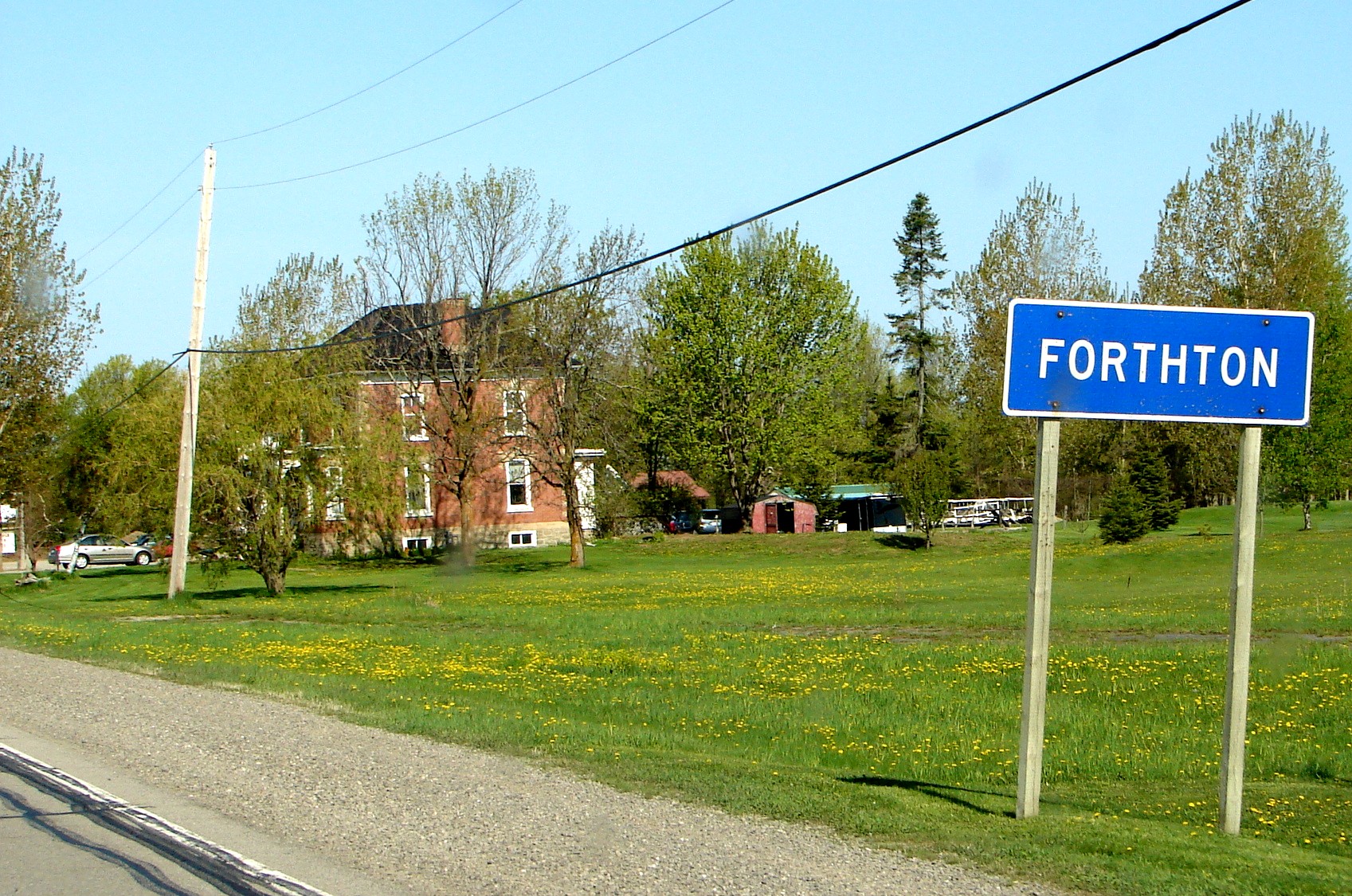
The township comprises the communities of Addison, Bellamys, Bellamys Mills, Bells Crossing, Bethel, Butternut Bay, Crystal, Eloida, Fairfield, Fairfield East, Forthton, Frankville, Glen Buell, Greenbush, Hallecks, Hawkes, Hutton, Jasper, Jellyby, Judgeville, Lehighs Corners, Lillies, Linden Bank, Lyn, Manhard, Newbliss, New Dublin, Redan, Rocksprings, Seeley, Sherwood Springs, Spring Valley, Tincap and Toledo.
 Forthton
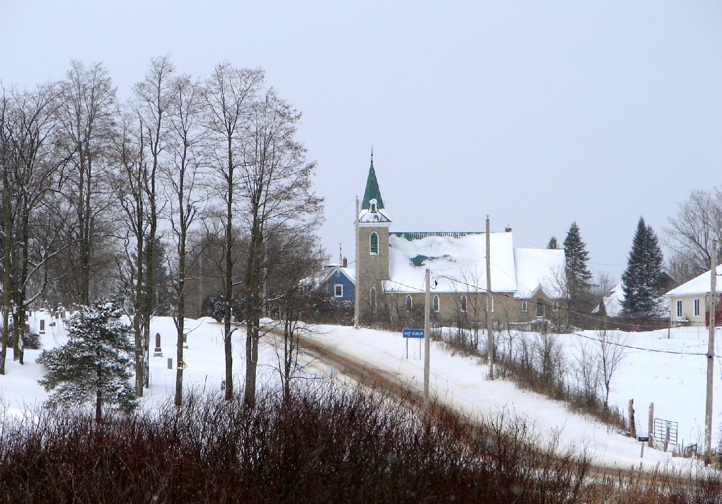
 New Dublin
Demographics
According to the Canada 2006 Census:[1]
- Population: 10,201
- % Change (2001–2006): 1.6
- Dwellings: 3,818
- Area (km².): 554.24
- Density (persons per km².): 18.4
- Mother tongue:
- English as first language: 92.3 %
- French as first language: 1.7 %
- English and French as first language: 0.1 %
- Other as first language: 5.9 %
Population trend:[2]
- Population in 2006: 10,201
- Population in 2001: 10,039
- Population in 1996:
- Elizabethtown: 7761
- Kitley: 2461
- Population in 1991:
- Elizabethtown: 7439
- Kitley: 2191
References
- ^ a b c Statistics Canada. "Elizabethtown-Kitley". 2006 Community Profiles. http://www12.statcan.ca/census-recensement/2006/dp-pd/prof/92-591/details/page.cfm?Lang=E&Geo1=CSD&Code1=3507014&Geo2=PR&Code2=35&Data=Count&SearchText=Elizabethtown-Kitley&SearchType=Begins&SearchPR=01&B1=All&Custom=. Retrieved 2010-01-07.
- ^ Statistics Canada: 1996, 2001, 2006 census
External links

Rideau Lakes Merrickville-Wolford Athens
Front of Yonge
Augusta  Elizabethtown-Kitley

Saint Lawrence River / Hammond (New York, USA) Brockville, Saint Lawrence River / Morristown (New York, USA) Coordinates: 44°42′N 75°53′W / 44.7°N 75.883°W
Categories:- Township municipalities in Ontario
- Municipalities in Leeds and Grenville United Counties, Ontario
- Eastern Ontario geography stubs

Wikimedia Foundation. 2010.