- Charterhouse Roman Town
-
Charterhouse Roman Town was a town in the Roman province of Britannia. Its site is located just to the west of the village of Charterhouse-on-Mendip in the English county of Somerset.
Its Latin name may have been Iscalis, but this is far from certain.[1] An alternative, based on inscriptions on a pig of Roman lead BRIT. EX. ARG. VEB, meaning "British (lead) from the VEB... lead-silver works" would suggest the name VEB for the site. This may explain the nearby village of Ubley, as V and U are interchangeable in Latin, Ubley may have derived from Veb-ley, and was originally a settlement where Romano-British lead miners lived.[2]
The Roman landscape has been designated as a Scheduled Ancient Monument.[3]
Contents
Mining settlement
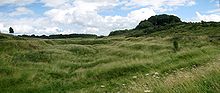
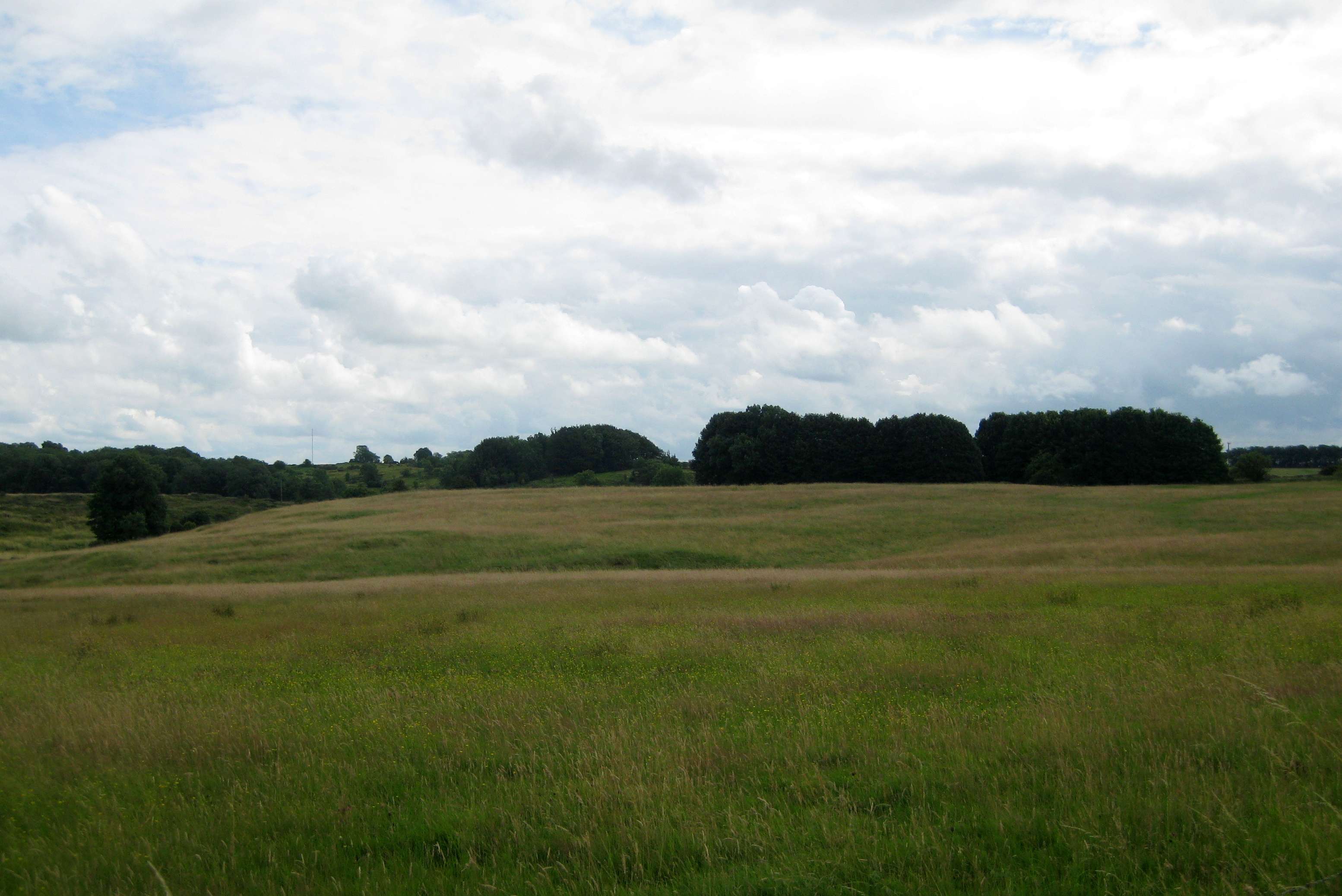
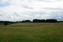 Site of Roman fort
The settlement grew up around the north-western edge of prehistoric lead and silver mines, which were exploited by the Romans. Mendip lead ore had up to 0.4% silver content, which the Romans used to pay the army.[4] Extraction is thought to have begun as early as AD 49[2] (although the evidence of dateable lead ingots found in the neighbourhood has recently been questioned.[5]) At first the lead and silver industries were tightly controlled by the Roman military (in the south-west, by the Second Legion[6]) and there was a small 'fortlet' adjoining the mines during the 1st century, which may, however, have been little more than a fortified compound for storing lead pigs.[7] After a short time, the extraction of these metals was contracted out to civilian companies, probably because of low silver content.[8] Smelting was undertaken on site where industrial workshops have been excavated[9], and the metal exported along a minor road to the Fosse Way, and probably through a small inland port at nearby Cheddar.[6]
Amphitheatre
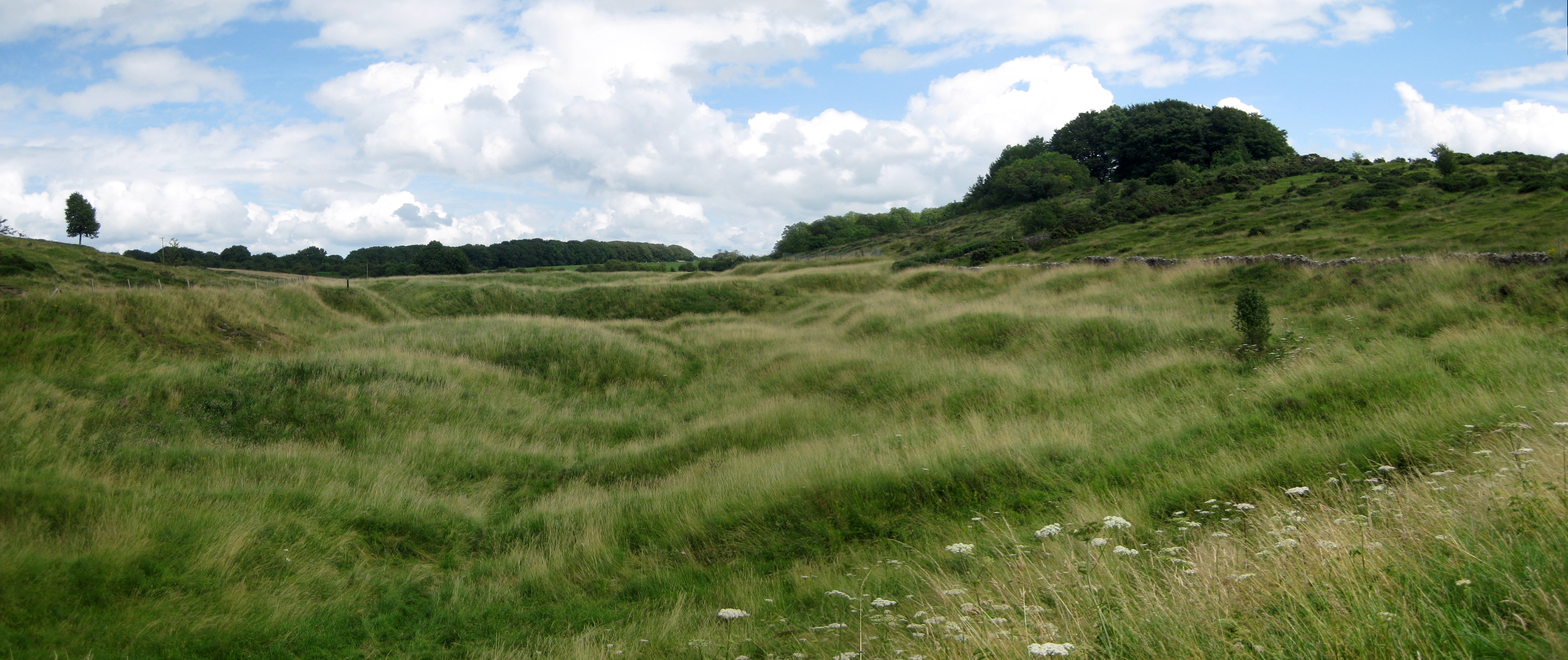
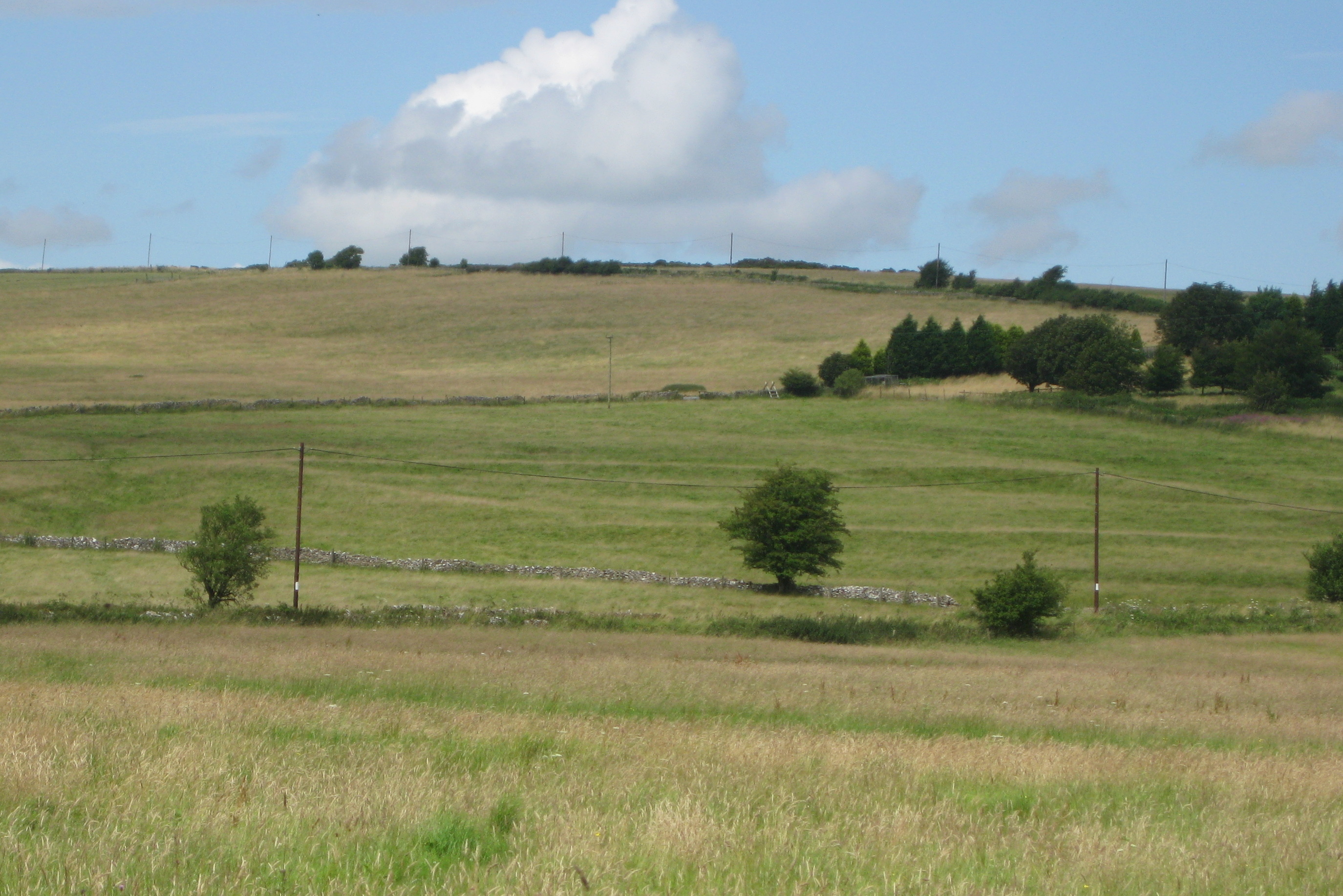
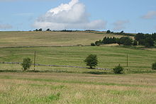 View of the ancient enclosure and site of Roman town
An amphitheatre stood west of the settlement. It is the only one in England to exist at a lead mine and is additional evidence of the importance of Mendip lead to the Romans.[10] It measures 32m x 24.4m and the banks for the seating survive 4.5m above the arena. It was surveyed in 1909. It was probably a place of entertainment for the soldiers at the Roman fort which was established here.[11]
See also
- Roman engineering
- Roman mining
- Roman technology
References
- ^ Rivet, A L F; Smith, Colin (1979). The Place-Names of Roman Britain. London: B T Batsford.
- ^ a b Havinden, Michael (1981). The Somerset Landscape. The making of the English landscape. London: Hodder and Stoughton. pp. 85. ISBN 0340201169.
- ^ Firth, Hannah (2007). Mendip from the air. Taunton: Somerset County Council. ISBN 9780861833900.
- ^ Elkington, H D H (1976). "The Mendip Lead Industry". The Roman West Country: Classical Culture and Celtic Society.
- ^ Clement Whittick, G (1982). "Roman Lead-Mining on Mendip and in North Wales". Britannia 13.
- ^ a b Aston, Mick; Burrow, Ian (1982). The Archaeology of Somerset. Taunton: Somerset County Council.
- ^ De la Bedoyere, Guy (2006). Roman Britain: A New History. London: Thames & Hudson.
- ^ "Major Romano-British Settlement Charterhouse on Mendip, Avon". Roman Britain.org. http://www.roman-britain.org/places/charterhouse.htm. Retrieved 2006-10-28.
- ^ "Charterhouse". Big Roman Dig. http://www.channel4.com/history/microsites/B/bigromandig/database/2_31.jsp?activityId=361. Retrieved 2006-10-28.
- ^ Dunning, Robert (1983). A History of Somerset. Chichester: Phillimore & Co. ISBN 978-0-85033-461-6.
- ^ Adkins, Lesley and Roy (1992). A field Guide to Somerset Archeology. Stanbridge: Dovecote press. ISBN 0946159947.
Categories:- History of Somerset
- History of mining
- Roman towns and cities in England
- Scheduled Ancient Monuments in Somerset
- Mendip Hills
- Former populated places in England
Wikimedia Foundation. 2010.